Stony Bay Peak-Flag Peak Circuit, Banks Peninsula, NZ


The circuit over Stony Bay Peak/Taraterehu (806m) and Flag Peak (809m) is a medium-length hike accessible on foot from Akaroa, a village on Banks Peninsula (Horomaka) near Christchurch, Canterbury, South Island.

My route ascended on the left, from 2-4-5 to 4-5 to 5, and then continued all the way to the right, descending at the right-most 6.
Copyright Rod Donald Banks Peninsula Trust (https://www.bankspeninsulawalks.co.nz/akaroa-walks/). All rights reserved. Used with permission.
It was my favorite of my three Banks Peninsula walks. The Hilltop-to-Mt-Sinclair section of the Summit Walkway was second. Mt Herbert above Diamond Harbour, a comparable circuit hike to this one but on the other side of Banks Peninsula, was last.
Compared to most of the hikes on my blog, there are a lot of distinct roads and tracks which reach the Stony Bay Peak - Flag Peak ridgeline. See links to alternative routes below the gallery.
Time
The Rod Donald Banks Peninsula Trust estimates 6-8 hours for this or a similar circuit.
Including breaks, it took me around 7 hours.
Route

The purple dot is the beginning of the steep section of poor-quality track.
The cyan dot is an easy place to return to town for a shorter circuit.
Screenshots of the NZ topographic map are licensed as CC BY 4.0 by Toitū Te Whenua Land Information New Zealand (LINZ).
From Akaroa, I walked up Rue Balguerie and Purple Peak Road to the trailhead, which starts amidst planted trees. From there, I continued on a grass/dirt track up the spur northeast of Stony Bay Peak. The Rod Donald Banks Peninsula Trust describes the route in detail on page 5 of this PDF. Page 3 has an additional map.
It was easy hiking until I reached Purple Peak Saddle (purple dot on topomap screenshot), north of Stony Bay Peak. From here it was a more difficult final 30 minutes or so - steep, somewhat muddy, and overgrown.
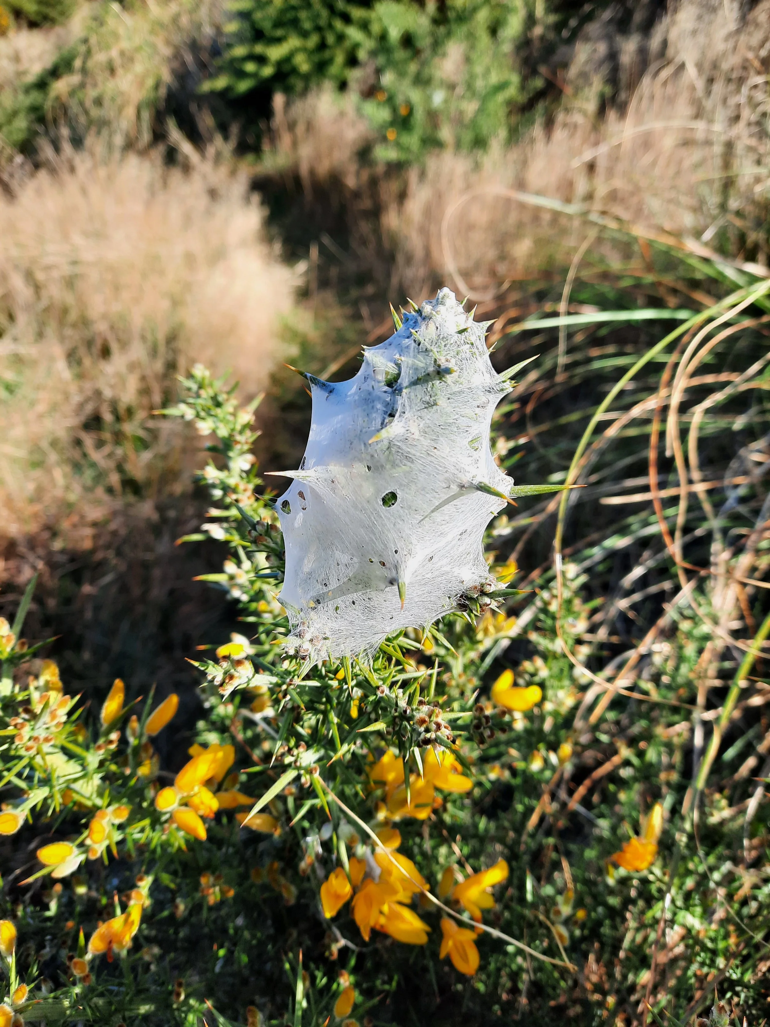
Because of its proximity to Christchurch and the excellent views, I assumed it would be a popular track. That’s why the overgrownness surprised me. Maybe it is popular, and the vegetation is just impervious to contact with humans. There were no other hikers on the sunny late autumn day of my hike.
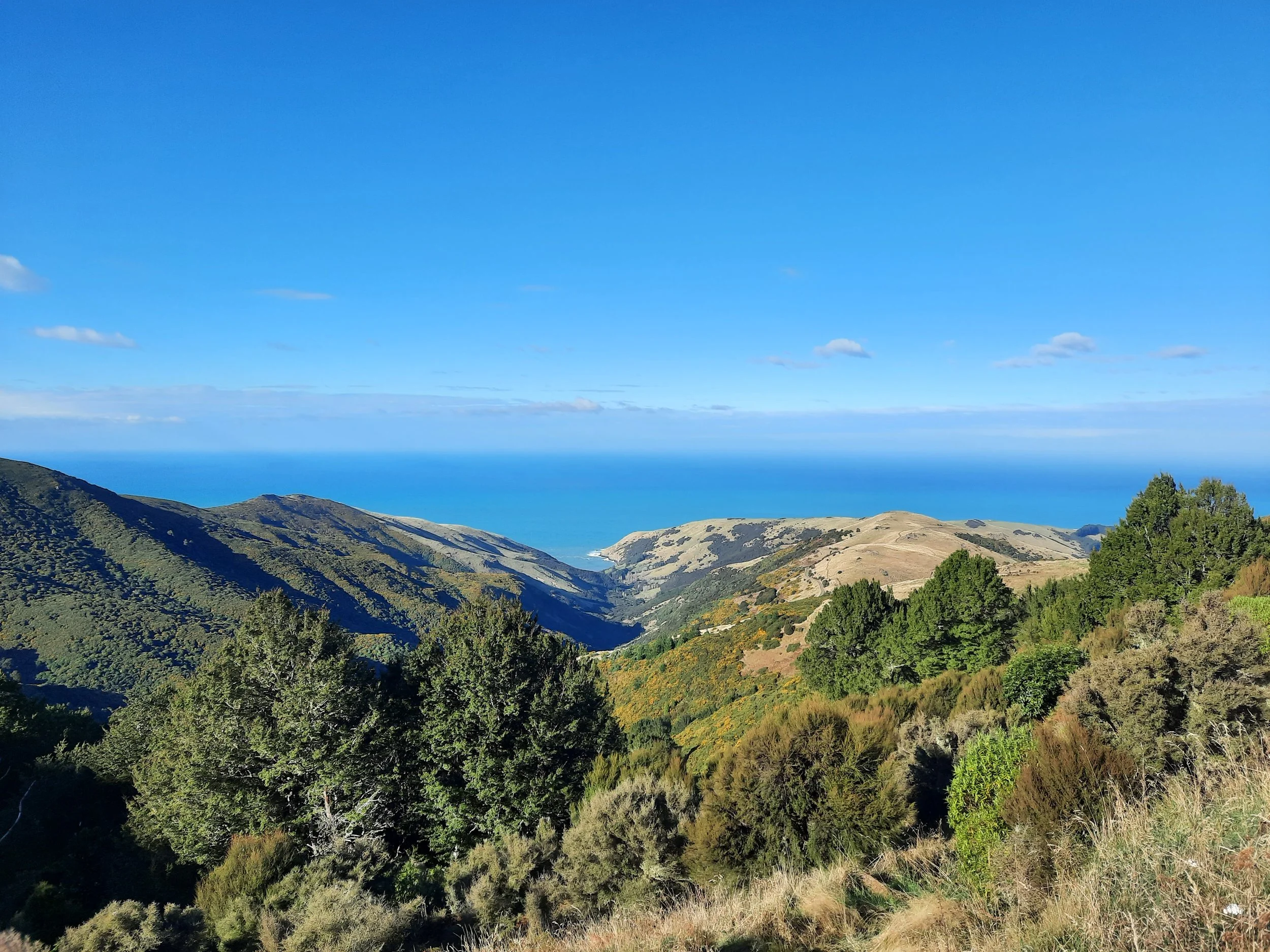
After descending southwest from Stony Bay Peak, I reached a saddle, from which I could have followed Stony Bay Road to town. The saddle is marked by the cyan dot on the topomap screenshot. Since it was good weather and the hiking wasn’t strenuous, I continued south toward Flag Peak-Brasenose. The track doesn’t go over either high point; it curves around them. This was my favorite part of the hike.
The long descent down Lighthouse Road was not steep, so I didn’t need my trekking poles.
If 1 is an easy track, and 4 is using hands and feet on exposed rocks, I give this track a 3 for the final ascent to the summit of Stony Bay Peak, a 2 on some other stretches on Stony Bay Peak, and a 1 for the large majority of the circuit, including the entire Flag Peak-Brasenose section.


Flag Peak/Brasenose at center-left. Akaroa village at center right (nearest part along Akaroa Harbour), just left of Takamatua Hill peninsula.

Brasenose/Flag Peak at far right. Stony Bay Peak left of that. Akaroa visible with pier at left, with Takamatua Hill peninsula behind it.
Other pages about this hike
https://www.bankspeninsulawalks.co.nz/wp-content/uploads/Akaroa_country_walks_printable_-A4-July-2022-FINAL.pdf (page 5; map page 3)
AllTrails portions of this hike, excluding the roads to/from town
from Purple Peak Road to Stony Bay Peak: https://www.alltrails.com/trail/new-zealand/canterbury/stoney-bay-peak-track
basically the same stretch from Stony Bay Peak to Stony Bay Road
from Stony Bay Road to Flea Bay Road/Lighthouse Road: https://www.alltrails.com/trail/new-zealand/canterbury/stony-bay-trailhead-to-flea-bay-road
Pages about other hikes involving Stony Bay Peak
https://ctc.org.nz/index.php/trip-reports?goto=tripreports%2F782
https://www.alltrails.com/trail/new-zealand/canterbury/stony-bay-peak-track
A nearby circuit, which could add Stony Bay Peak as a side-trip
Other Banks Peninsula hikes
Mt Herbert, Diamond Harbour
Lyttelton-Crater Rim circuit over Mt Cavendish and Mt Pleasant, Lyttelton, Christchurch
Place names
The peak is named for Stony Bay, which is below to the southeast. Stony was originally spelled “Stoney,” and Google Maps still has Stoney Bay Peak Road. This is simply ye olde obsolete English spelling.
Akaroa is whangaroa (“long harbor”) in the Kāi Tahu dialect of Māori. Kāi Tahu (Ngāi Tahu) are the iwi (tribe) who once controlled most of Te Waipounamu (South Island).
Other place names:
Captain James Cook thought the peninsula was separated from the mainland, and named the ‘island’ after the Endeavour’s naturalist, Joseph Banks, in 1770… For a time the isthmus was called Cook’s Mistake before it was changed to Banks Peninsula.
…
The French whalers are remembered in a reef dubbed the Frenchman’s Whale after the eager visitors mistakenly harpooned a reef early one morning in 1839.
—Keith Lyons, New Zealand Geographic, 1992.
Further history
Tales of Banks Peninsula (https://nzetc.victoria.ac.nz/tm/scholarly/tei-JacTale.html)
Stony Bay Peak seen from Montgomery Scenic Reserve on the Hilltop-Mt Sinclair section of the Summit Walkway

Stony Bay Peak just left of center, rising above two peninsulas, Onawe in the middle of Akaroa Harbour and Takamatua Hill peninsula beyond. To the right of Stony Bay Peak is Flag Top/Brasenose. I ascended the spur leading to Stony Bay Peak. Counting to the right, over one minor spur, another major spur, and a second minor spur, I descended the second major spur (which is very close to the second minor spur I just referred to).