If you follow a broken link, you are redirected to this page. You can also use SEARCH.
First are the posts about hikes in Aotearoa New Zealand, with the name of the nearest settlement (even if it’s far away) usually in the title. Next, other NZ pages (e.g. hiking without a car). Near the bottom, other countries.
Short hikes took me 0-4 hours, medium-length 4-7, long 7-10, and very long 10+. I’ve made a few category exceptions for anomalous times.
North Island hiking


South Island hiking
For an introduction to South Island’s hiking regions, see Edward’s post at HikingScenery.com.
Nelson-Tasman and Marlborough (Te Tau Ihu and nearby)
Nelson Airport and Blenheim’s Marlborough Airport are the easiest starting points.


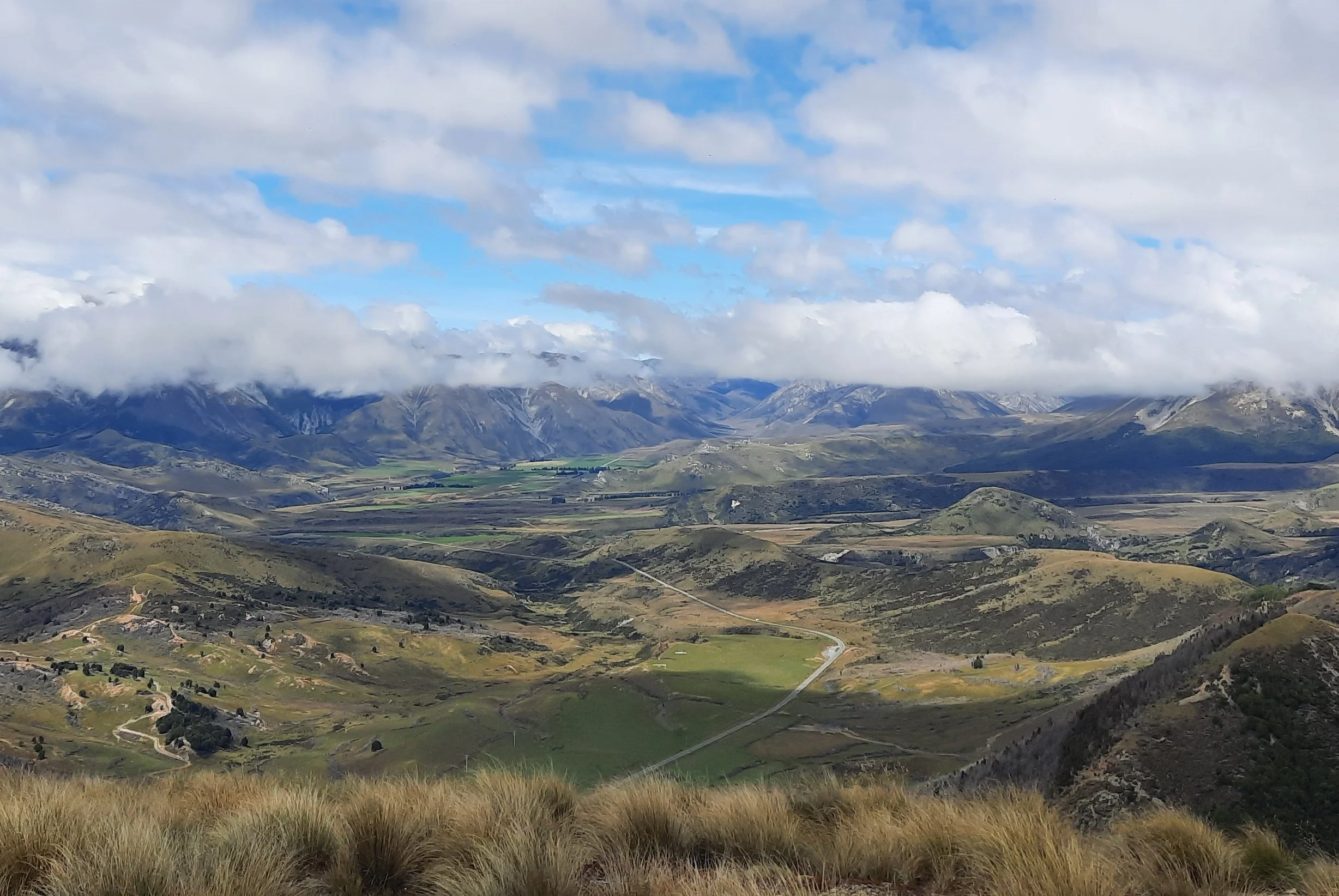
West Coast (Buller District) and North Canterbury (Hurunui and Kaikōura Districts)
Hanmer Springs (Hurunui) is most easily accessed from Christchurch, while both Christchurch and Blenheim/Picton make sense for visiting Kaikōura. Nelson makes the most sense for Reefton and Springs Junction (Buller District).


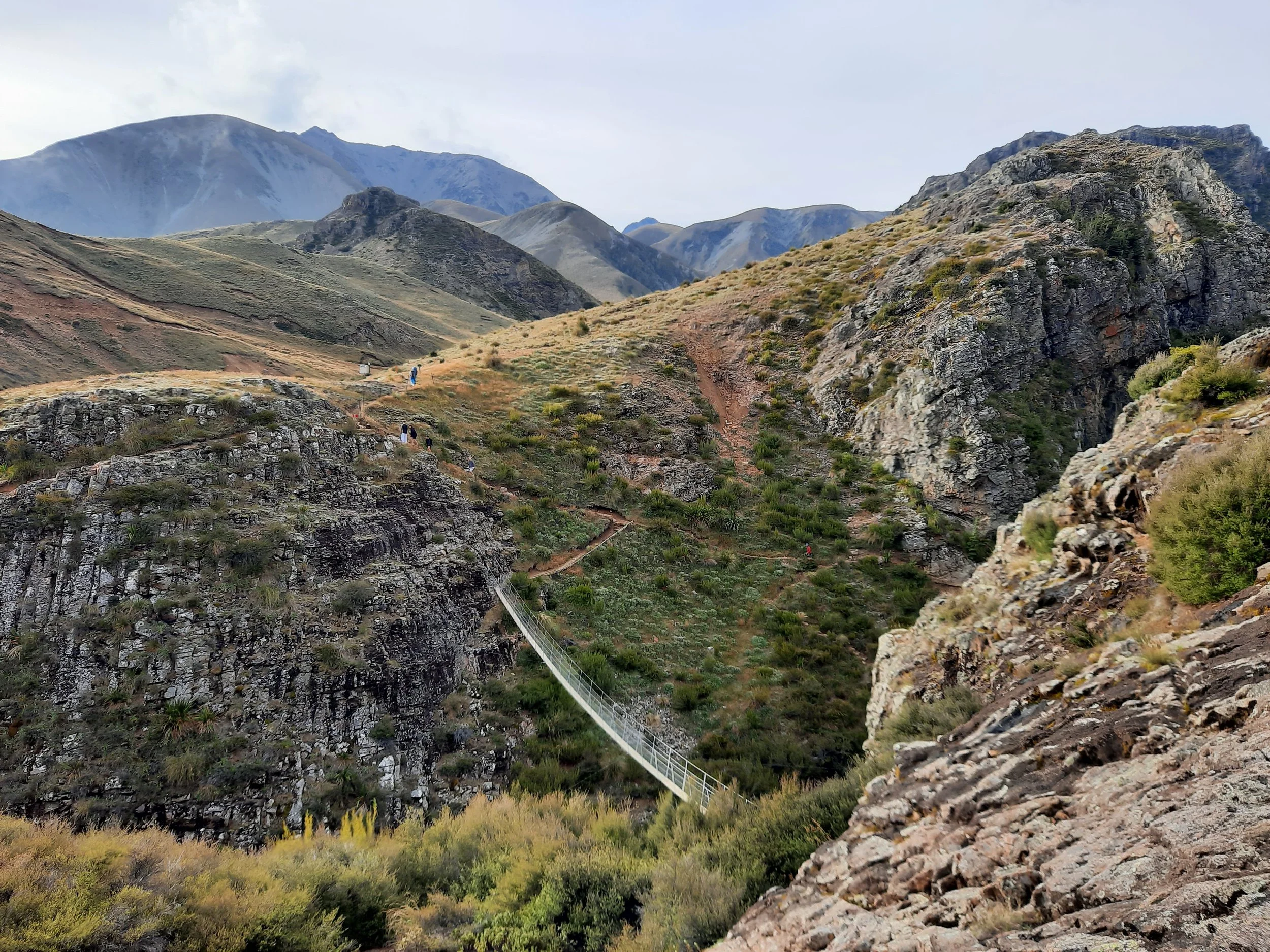
Christchurch’s Port Hills & the Banks Peninsula, Central Canterbury


Central Canterbury
Hikes from the Waimakariri River area in the northeast to the Rangitata River area in the southwest. I started and finished almost every trip in Christchurch.


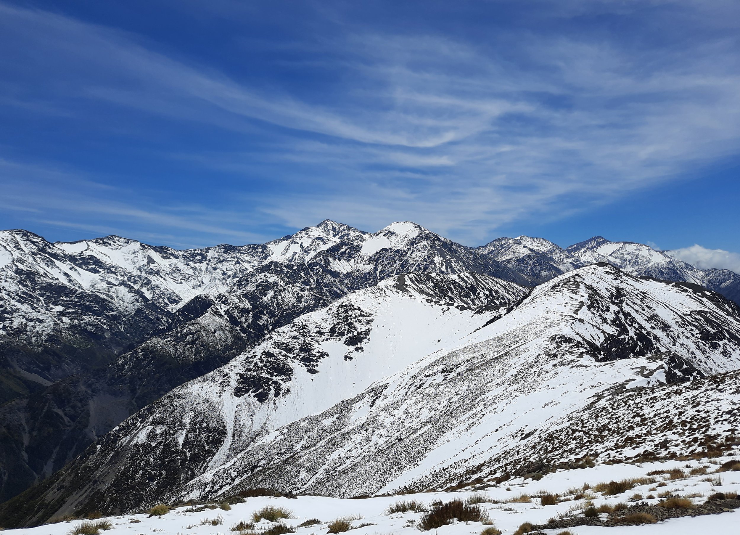
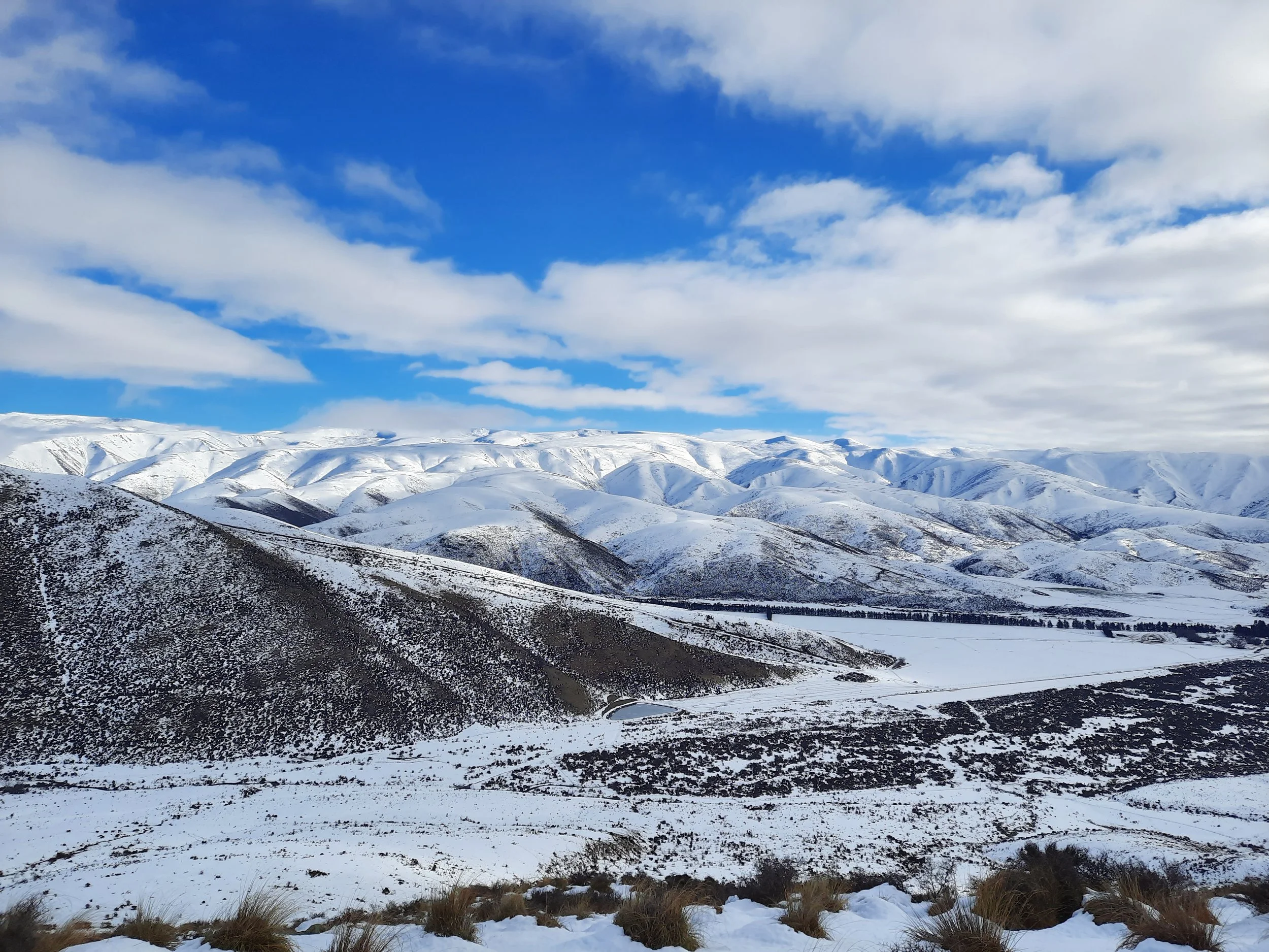
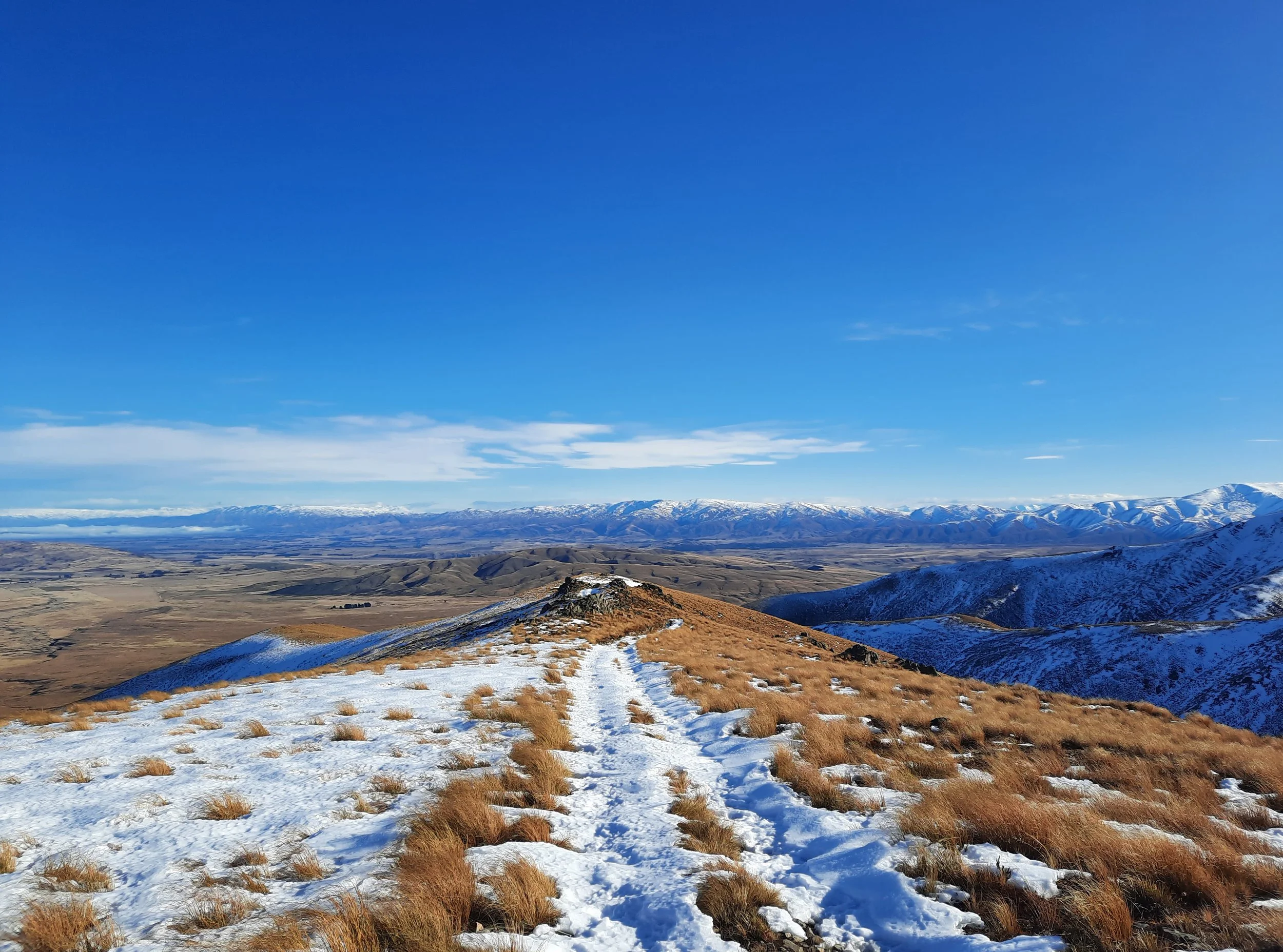
Mackenzie Basin and Waitaki Valley, Canterbury
The Mackenzie Basin can be toured as part of a long drive from either Christchurch or Queenstown. Timaru Airport (flights from Wellington) is a more obscure option, but it saves time.
For the Waitaki Valley, Dunedin is also a reasonable starting point. The Waitaki Valley hikes were formerly in North Otago, but this area has been reassigned to South Canterbury.
The Mackenzie Basin is known for hiking, but the Waitaki Valley is not. However, the valley is less likely to have snow, and parts of it appear to be shielded from the prevailing northwesterly winds.


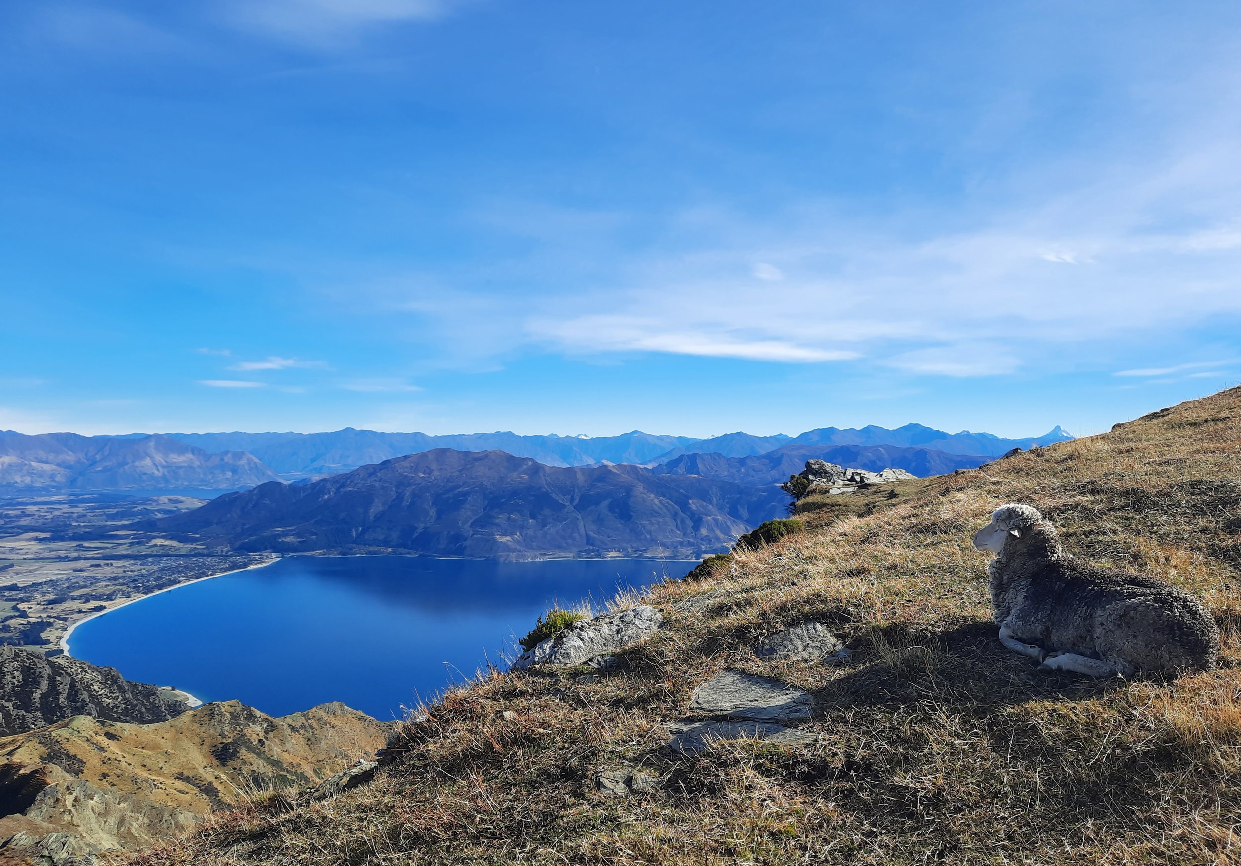
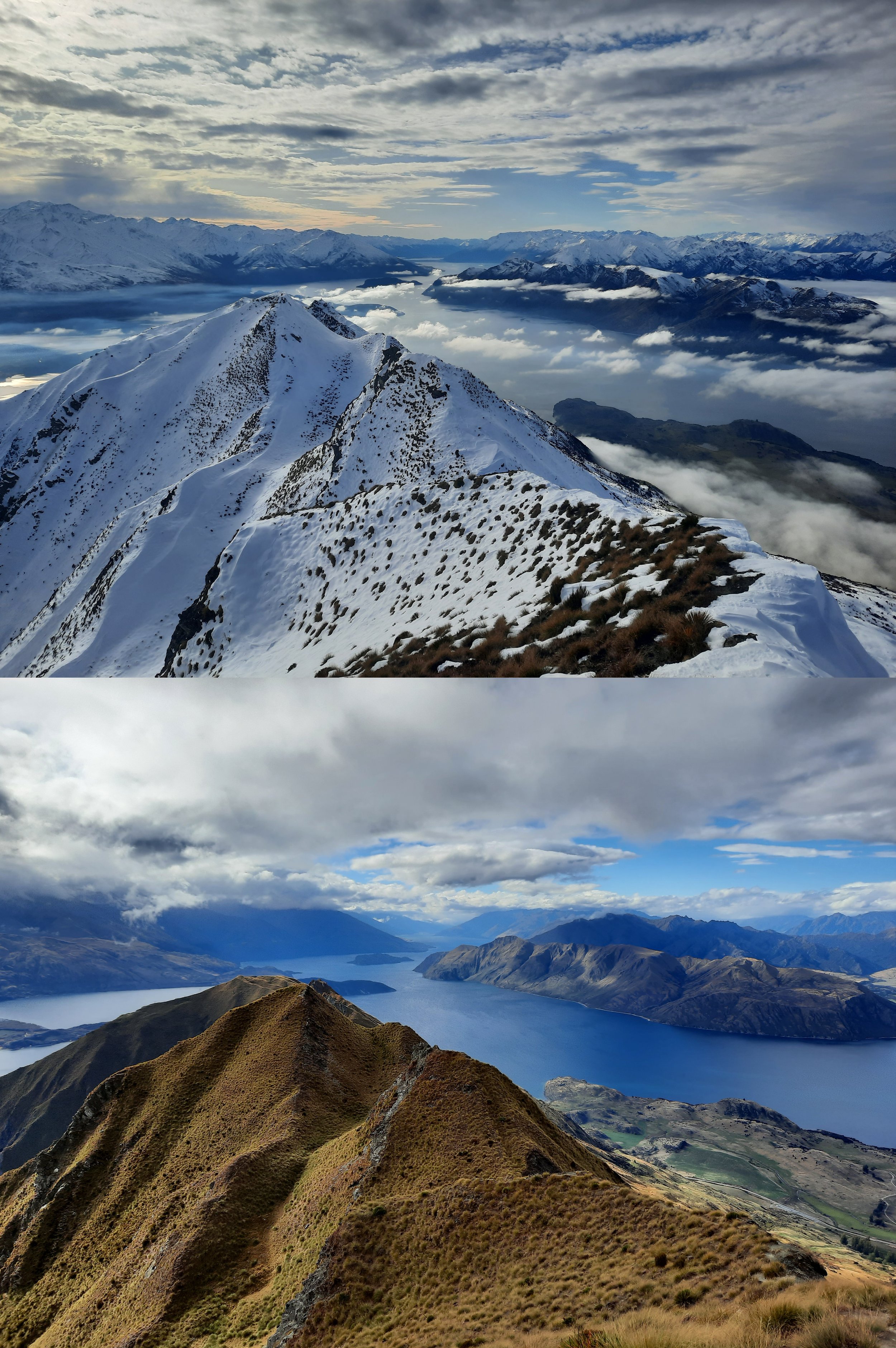
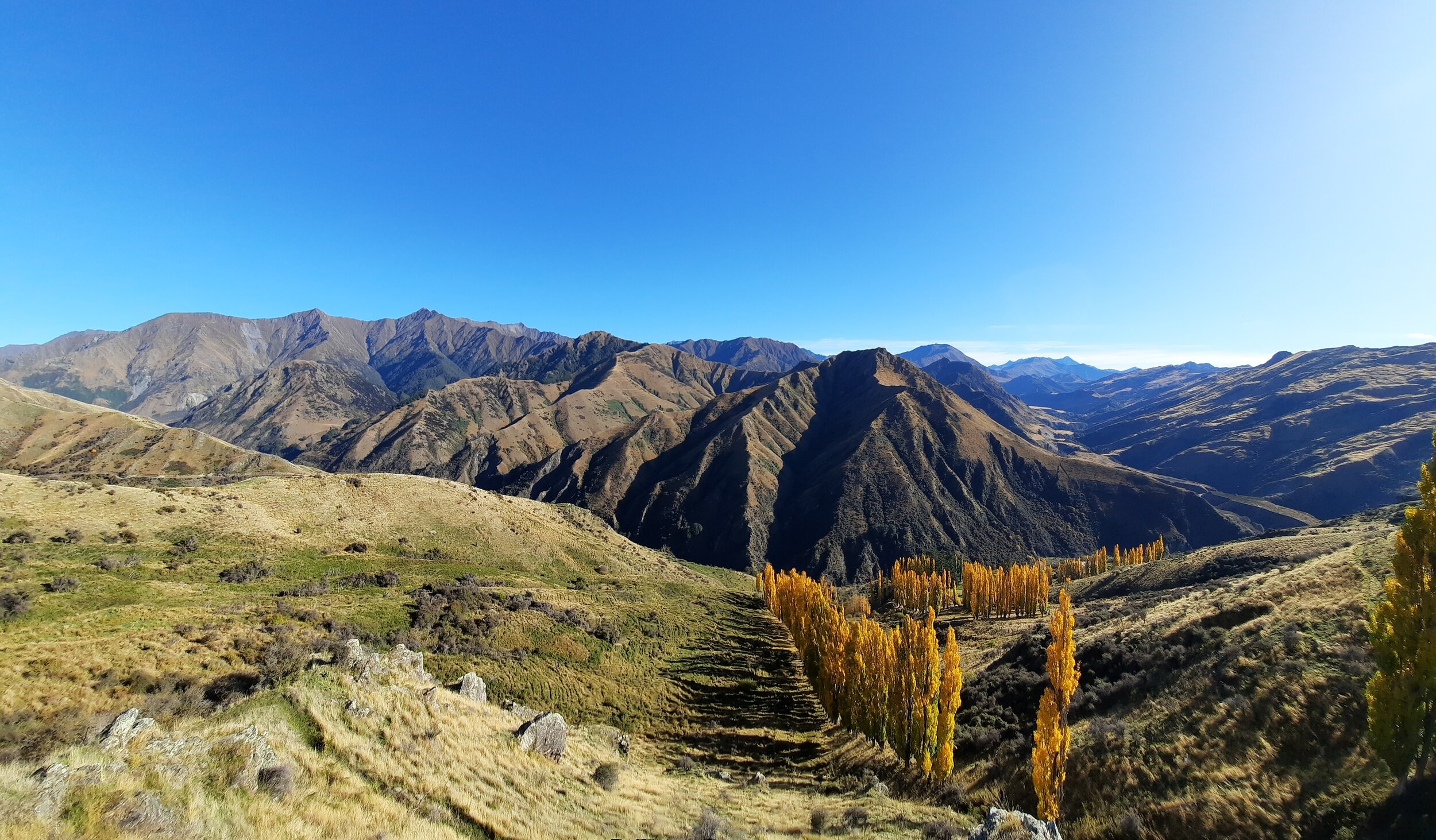
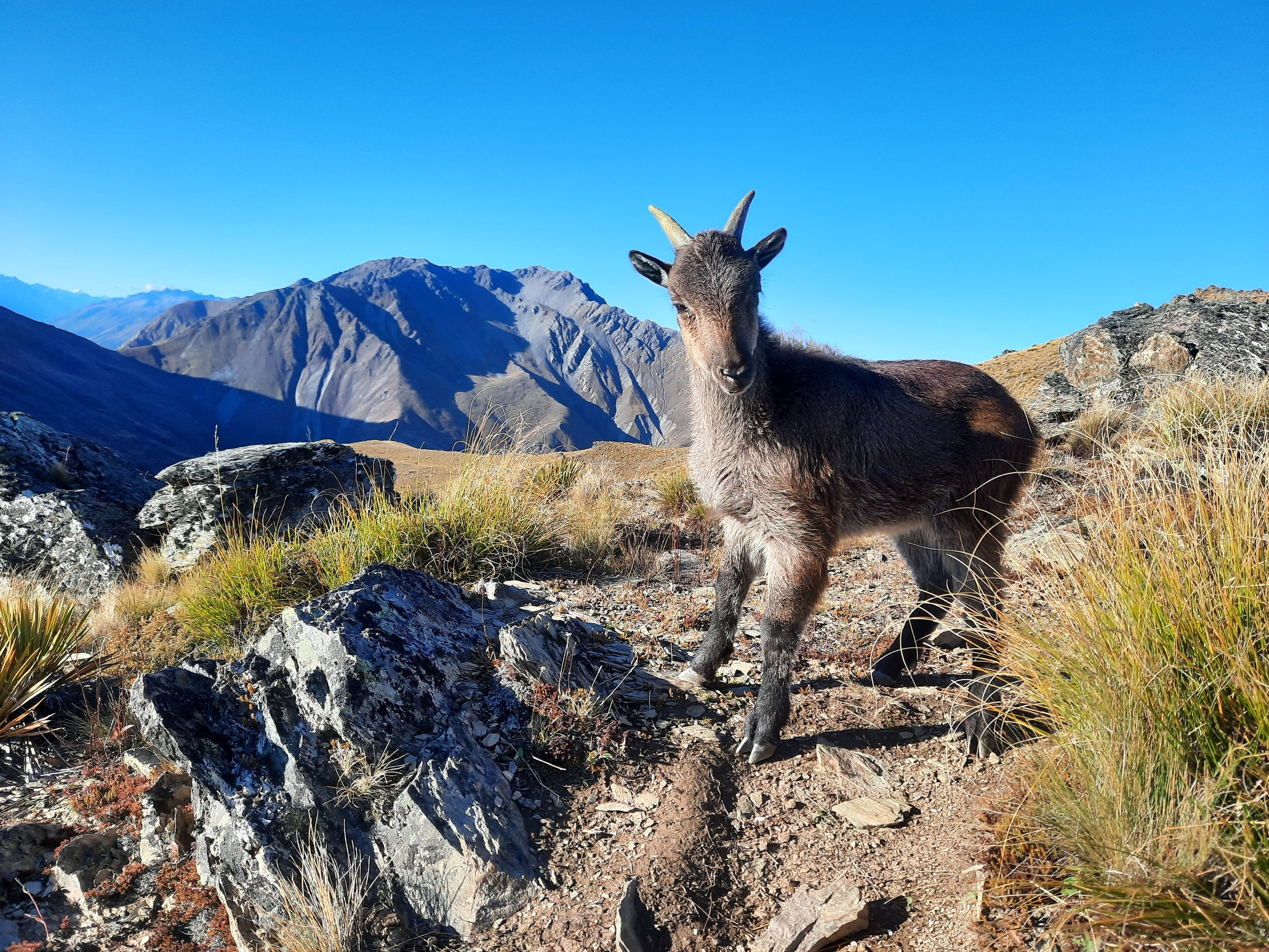
Lake Wānaka - Lake Hāwea area, Queenstown Lakes region, Otago
Arriving at Queenstown airport is the easiest way to get here.


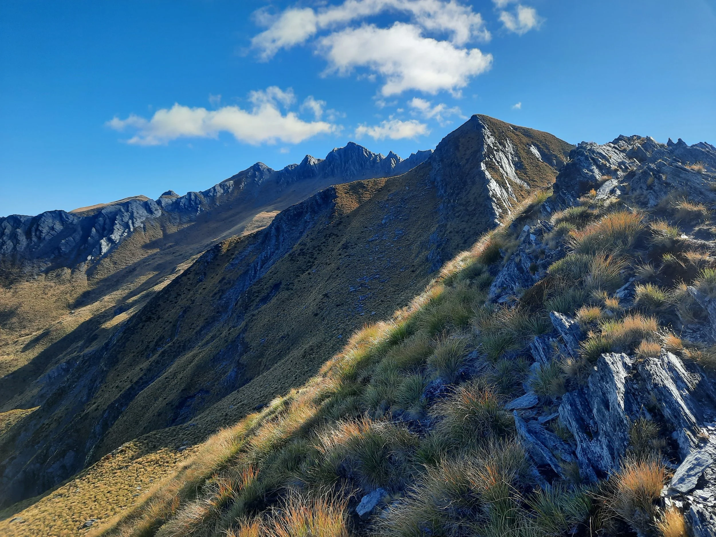


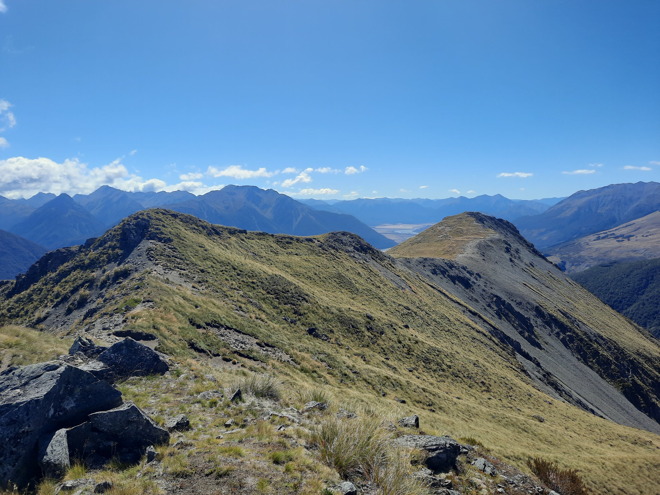
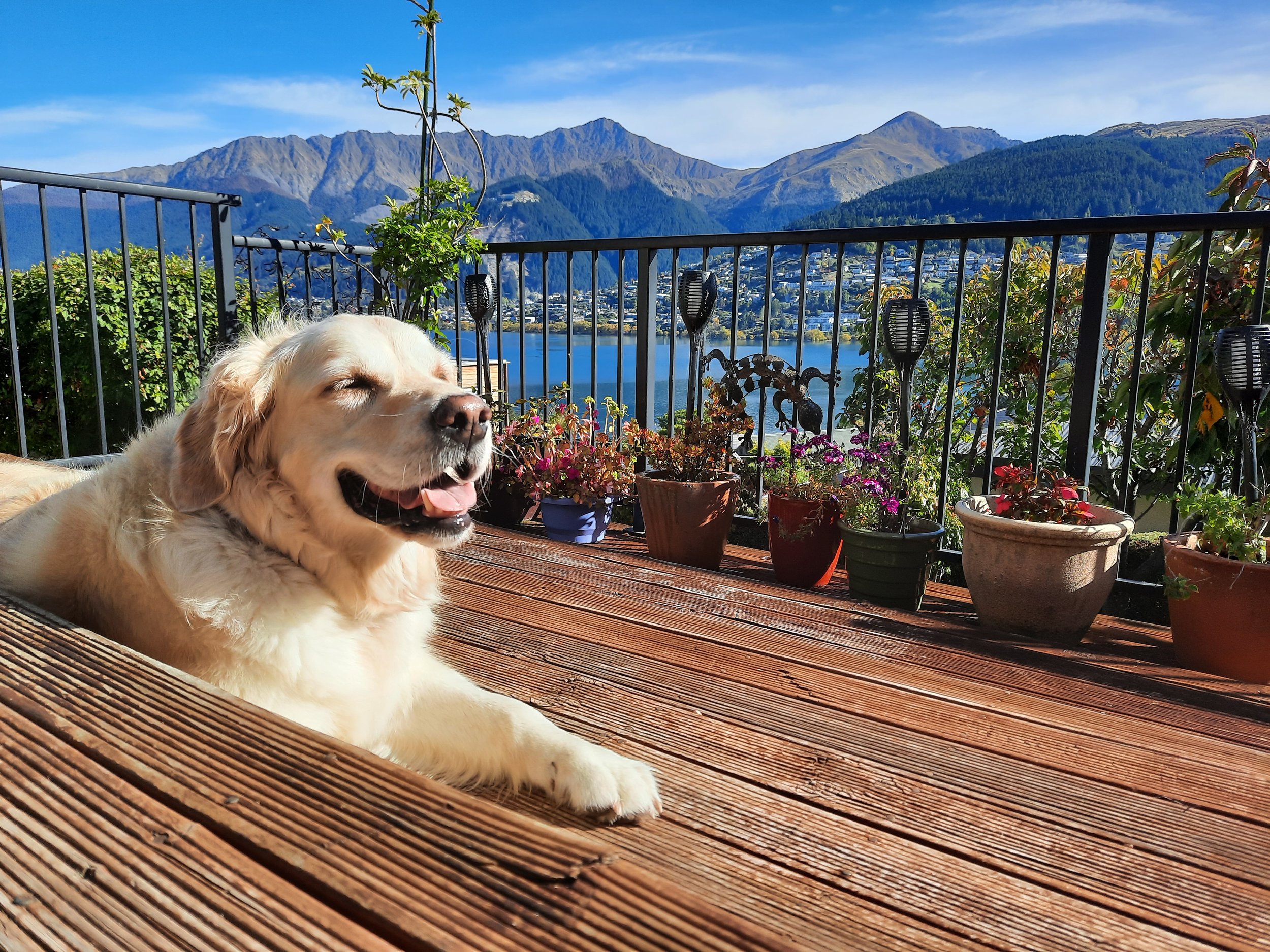
Lake Wakatipu and Arrowtown area, Queenstown Lakes region, Otago
Arriving at Queenstown airport is the easiest way to get here.
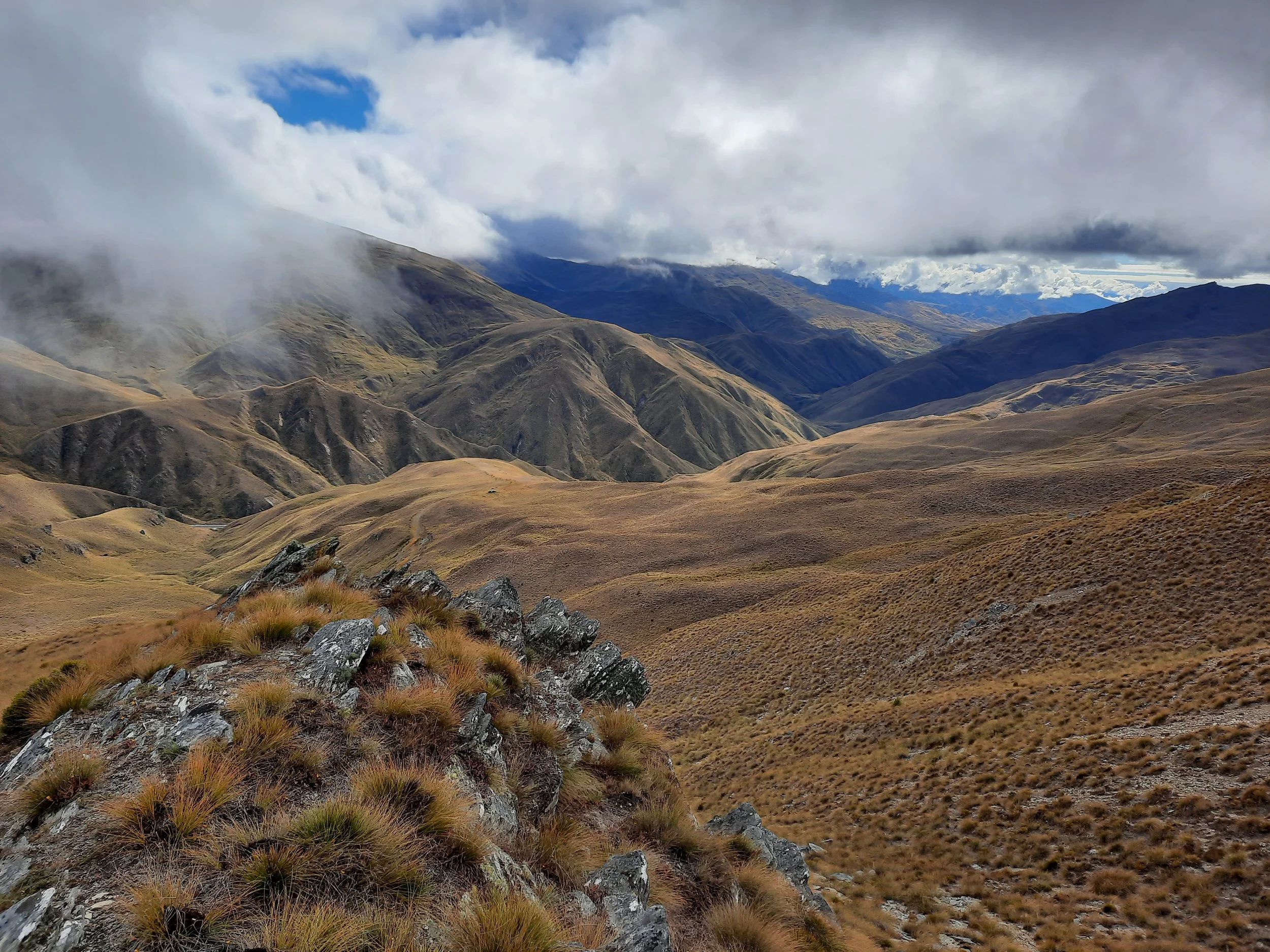


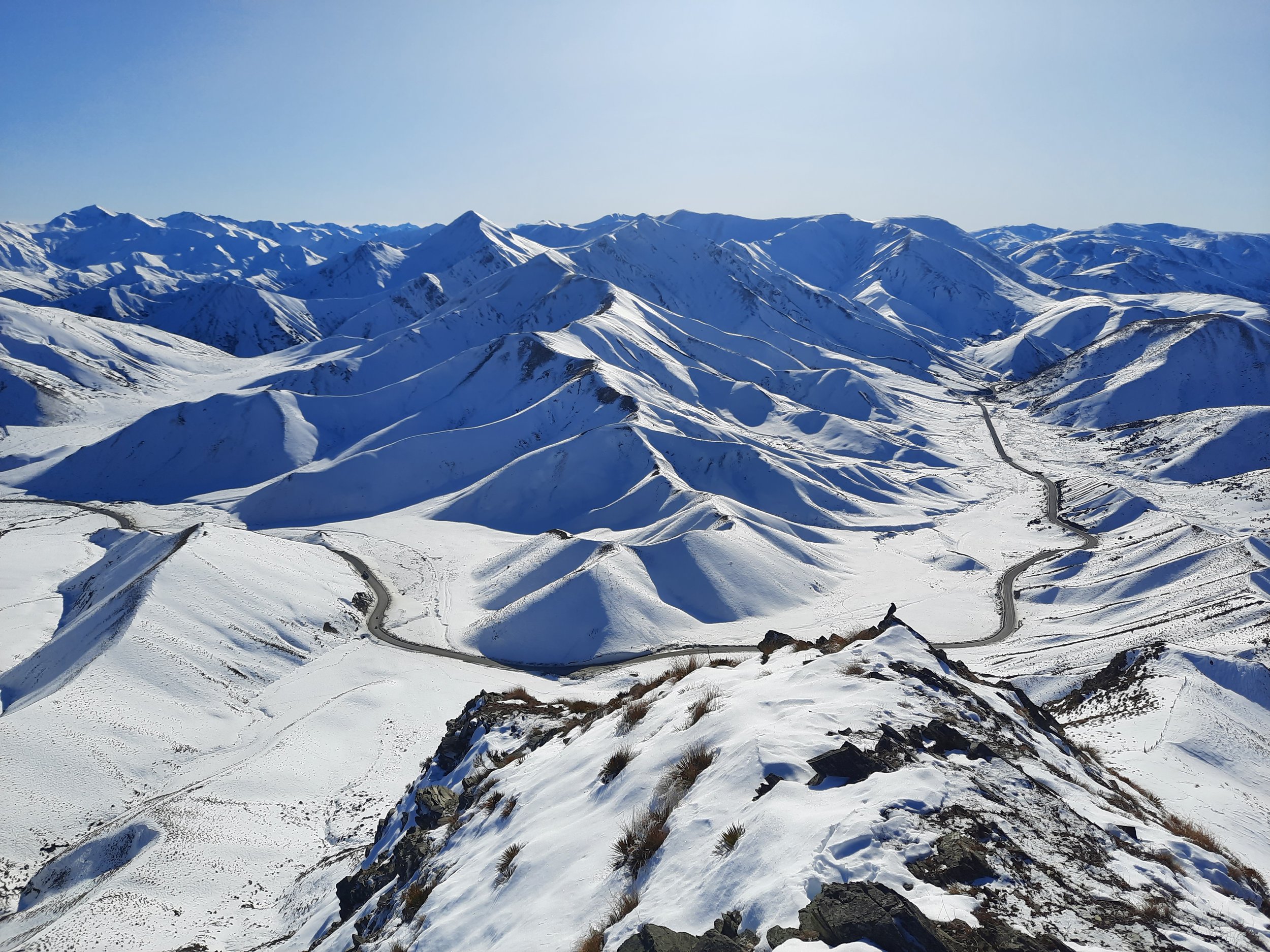
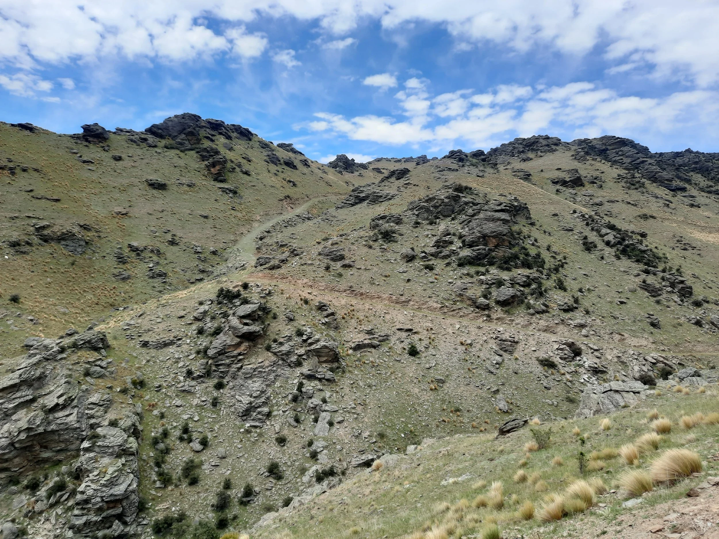
Central Otago
The arid regions around Lake Dunstan, the Manuherikia River, and the Maniototo Plain. Note that some publications treat the Queenstown Lakes region (above) as part of Central Otago.
Queenstown, Invercargill, and Dunedin airports are all reasonable choices for getting here.


Southeastern Otago
Dunedin is the best starting place; Invercargill is the other option. I haven’t done a post on The Catlins, but you can see some of its coastline in South Island: Scenery.


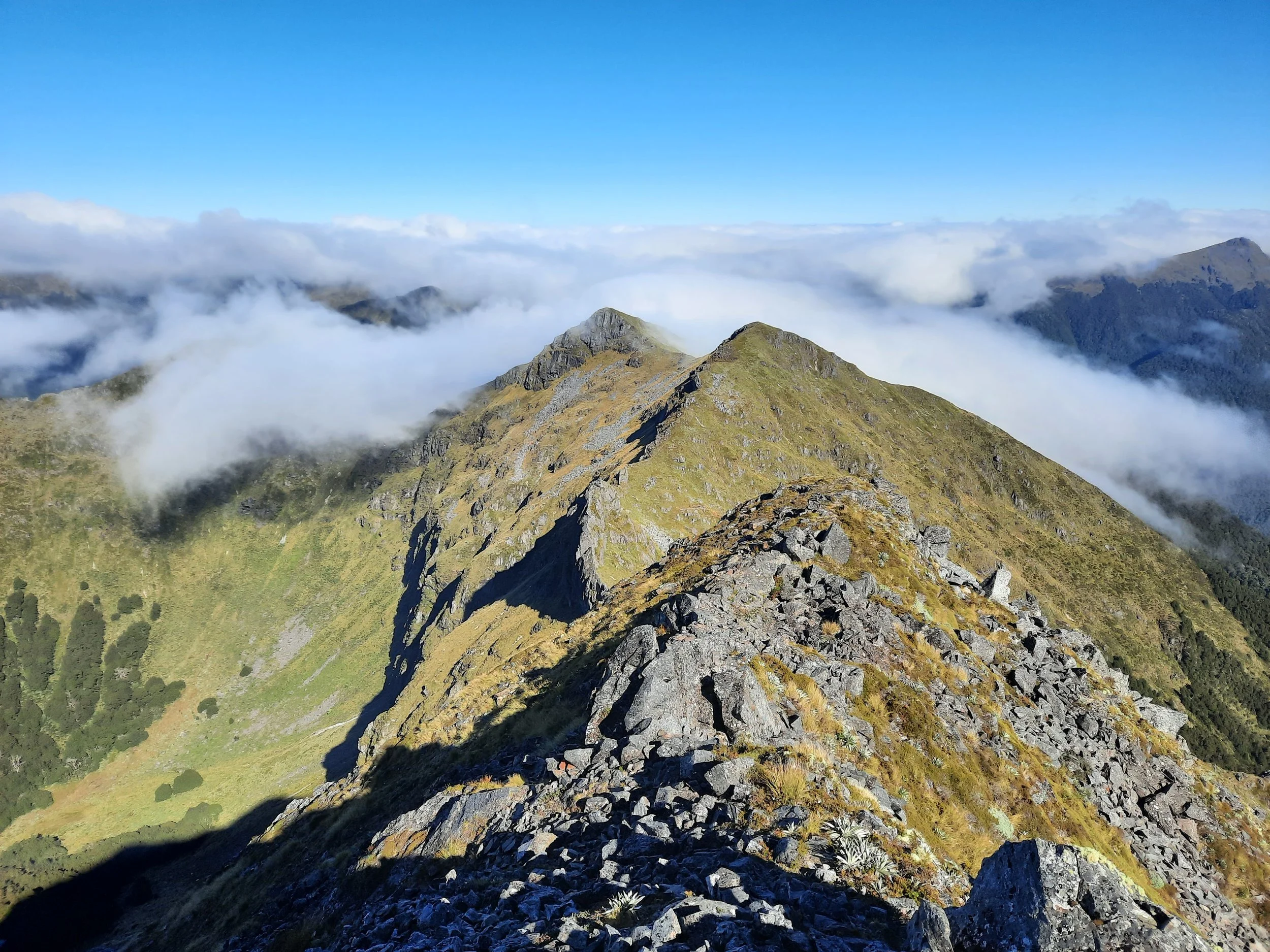
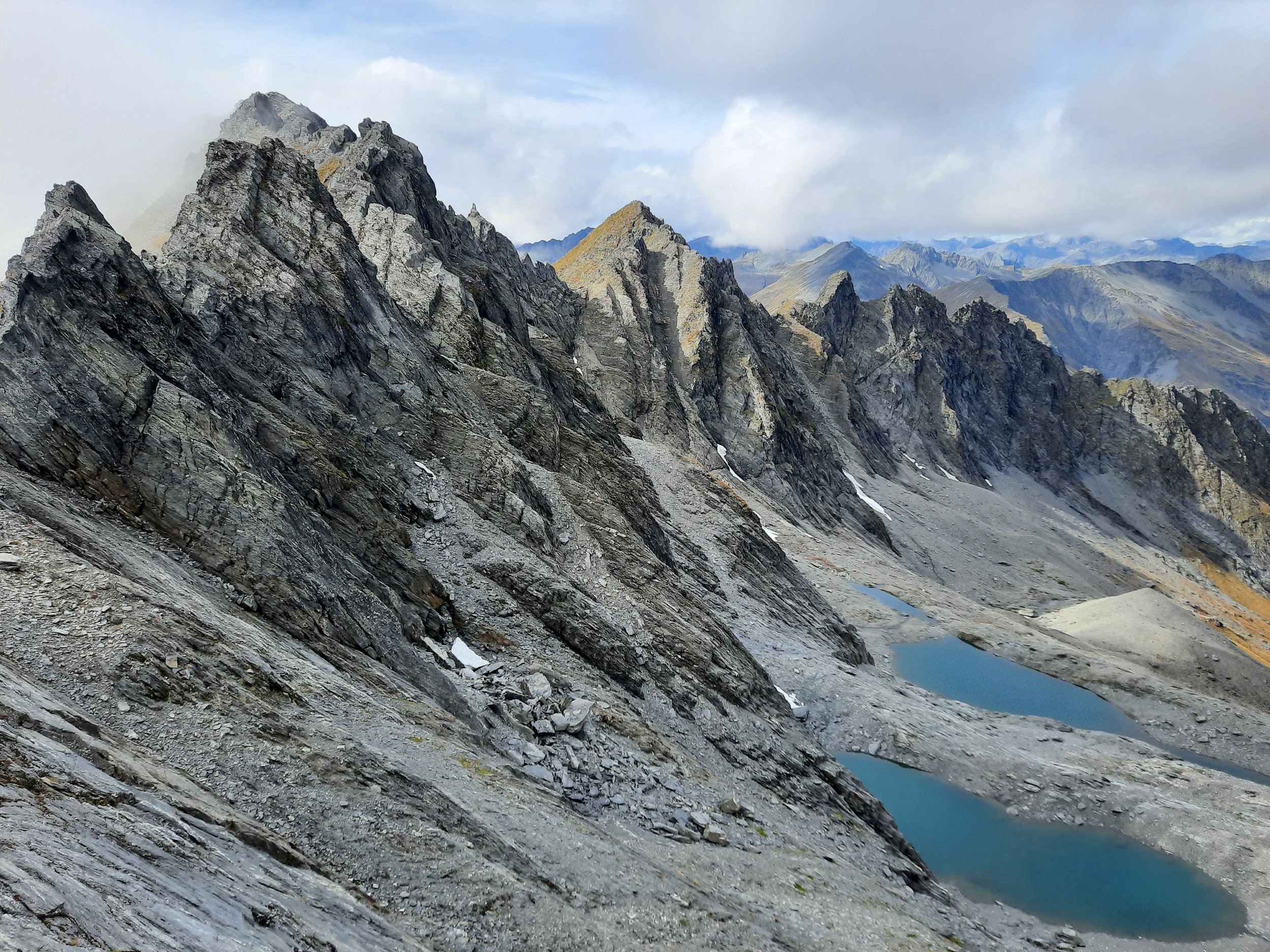
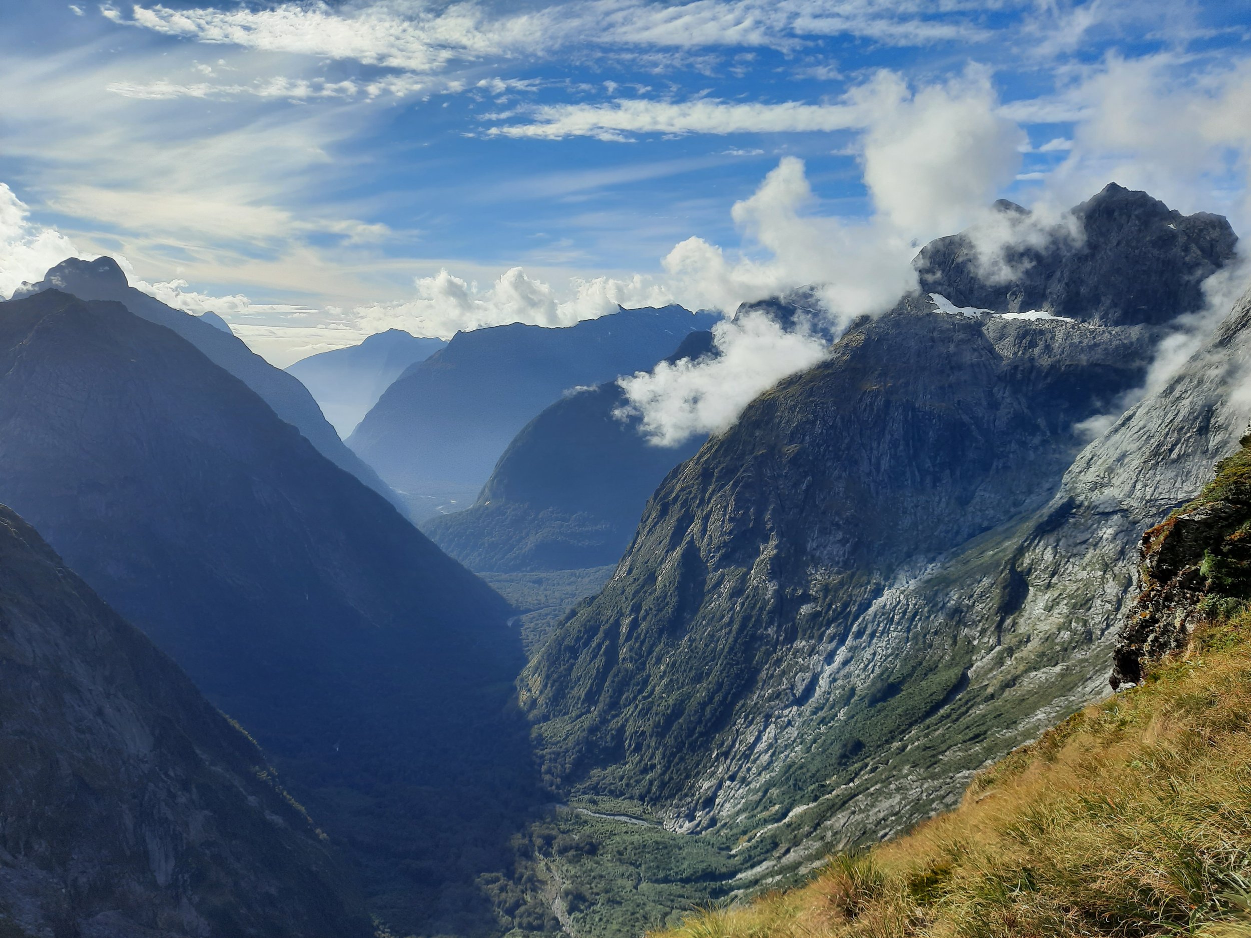
Southland, including Fiordland
Invercargill is the best starting place; Queenstown is the other option.


Other New Zealand posts


Posts from outside of New Zealand


These are the hikes which you can find on my whole-country blog posts:
South Korea, north to south
Dobong-san, near Seoul
Namhan-sanseong, near Seoul
Birobong, Sobaek-san Park, near Danyang
Halla-san, central Jeju Island
Seong-san Ilchulbong, east Jeju Island
Scottish Highlands, north to south
Craigellachie, near Aviemore
Meall a' Bhuachaille, near Glenmore
Cairn Gorm, near Glenmore
Ben Vrackie, near Pitlochry
Ben More & Stob Binnein, near Crianlarich
Japan, northeast to southwest
Honshū
Nantai-san, near Nikkō, Tochigi Pref.
Tsukuba-san, near Tsukuba, Ibaraki Pref.
Takao-san, Hachiōji, western Tōkyō
Arashi-yama Monkey Park (Iwata-yama), Kyōto
Kyūshū
Unzen-dake, near Unzen, Shimabara Peninsula, Nagasaki Pref.
Kaimon-dake, Ibusuki, Satsuma Peninsula, Kagoshima Pref.
Taiwan, north to south
Qixing-shan, Yangmingshan Park, near Taipei
Xiang-shan, Taipei
Lushui to Wenshan, Taroko Gorge, near Hualien
Short hike on a volcanic island, 25 minutes by ferry from Auckland.