Aotearoa New Zealand has countless peaks, hundreds of which seem like plausible targets for day-hikes. How to choose? This page shares some links useful for making plans; they can also be used to “‘facilitate daydreaming’”.
Gaining basic info
Toitū Te Whenua Land Information New Zealand (LINZ) publishes a nationwide topographic map (topomap). Unlike Scotland but like England, NZ has no right to roam across privately owned rural land. Digital layers on web topomaps show us what land is legally accessible, including easements across private land.
Unfortunately, useful digital map functions are split across at least four web topomaps!
DOC.govt.nz (Department of Conservation)
advantage: clickable links to webpages about hikes; layers for publicly accessible land and hunting areas (example)
Update: In 2024, after I wrote this page, DOC added 3D to this map (also ccessible separately at https://basemaps.linz.govt.nz), and Google Maps’s 3D maps are also better than they used to be. It is now easier to plan a hike for which you don’t have a trail guide. I might rewrite this whole section at some point.
HerengaANuku.govt.nz/maps/outdoor-access-maps/ (Walking Access Commission)
advantage: most thorough display of legally accessible areas, because it shows all unformed legal roads (in addition to DOC-maintained easements shown on the normal DOC map)
Topomap.co.nz (privately owned)
advantage: search function for place names (including hundreds of mountains that Google Maps doesn’t have)
DOC-DeptConservation.opendata.arcgis.com
advantage: Avalanche Terrain Exposure Scale superimposed on mountains
DOC hike webpages linked from the DOC map (or organized here by region) are the best place to start planning. They provide info on e.g.:
length
elevation gain
estimated time (which seems geared toward slower hikers on easy/popular routes, but toward average hikers on other routes)
spring closure for lambing or fawning, or seasonal closures for sea birds and sea mammals
this includes very popular hikes like Roy’s Peak near Wānaka
driving conditions to the trailhead
They are also the best place to finish planning (apart from a weather forecast), because they warn when tracks are closed for a non-seasonal reason (usually forestry or landslides), or open but degraded (e.g. by fallen trees).
The Mt Richmond Forest Park DOC office aggregates road closures on this webpage. These closures are usually due to forestry. I haven’t found a similar aggregated webpage for any other region.
Stopping by a DOC office in person is another way to get advice and check track conditions. Some current and former DOC workers whose detailed guidance I've especially appreciated: Graeme and Nic at Arthur's Pass; Sam at Queenstown.
Privately run websites
The level of detail in the hiking coverage on these three region-focused websites exceeds the level of detail on corresponding DOC pages:
ArthursPass.com (run by Graeme, mentioned above)
BanksPeninsulaWalks.co.nz (nifty 3D maps)
By contrast, most other regional websites parrot the info found on the corresponding DOC pages, usually with a few additional photos.
There are a few websites I regularly visit, because they are consistently helpful and updated fairly often:
Wilderness Magazine (usually including GPX files)
see e.g. articles on tramper's peaks
soft paywall of 2 free articles, until cookies are cleared 🥳
HikingScenery.com (Edward; beautiful photos)
ChurNewZealand.com (Jub; often including GPX files)
JontyNZ.com (Jonty; beautiful photos)
HikingIsGood.com (Michal; usually including GPX files)
Edward, Jub, and Jonty have all given me advice. Thank you!
Michal's trip reports are often cross-posted to the Christchurch Tramping Club website, joining other trip reports. The GPX files make it particularly useful among tramping club websites. Sardonic commentary and the occasional gleeful photo like this make their trip reports uniquely memorable.
Nelson Tramping Club has a clickable map of hikes, graded by difficulty.
I hope to make that sort of clickable map for this blog. But I can’t use JavaScript or iframes, due to the limited coding my SquareSpace website builder package permits. Please let me know if you know how to do it with only HTML, markdown, and CSS code.
Other websites which I have consulted:
groups
Auckland Hiking Group (Meetup.com)
Katakati Tramping Club (between Tauranga and Coromandel)
Heretaunga Tramping Club (Hastings)
Wanganui Tramping Club (note that the city spells itself Whanganui - it’s a long story)
Tararua Tramping Club (also Wellington)
Waimea Tramping Club (Richmond, near Nelson)
Taieri Recreational Tramping Club (Mosgiel, near Dunedin)
Otago Tramping and Mountaineering Club (Dunedin)
Tramper.nz (threads with discussions about some routes)
Wilderlife.nz (magazine of the Federated Mountain Clubs)
NZPocketGuide.com (useful for driving itineraries)
NZGeo.com (similar to National Geographic in the US or Geographical Magazine in the UK)
MoaHunters.org.nz (“Until we find a moa, we keep walking…”)
individual/couple
SouthernAlps.wordpress.com (defunct) and SouthernAlpsPhotography.com (few day-hikes)
NinaDickerhof.smugmug.com (few day-hikes)
Look at those bloggers who refuse to pay for their own domain name. Good for them.
Youtube and Vimeo sometimes have helpful videos of hikes.
For example, check out the Mountain Safety Council videos on specific risk-prone hikes.
I find POV videos useful for evaluating the difficulty of ridges. Are they crumbly? Are there gendarmes? Ideally I can decide in advance whether it would be better to sidle below the ridge.
e.g. this video, which I watched before my Mt Bealey - Lyell Peak - Avalanche Peak traverse at Arthur’s Pass, Canterbury.
Tristan, proprietor of Hanmer Backpackers in Hanmer Springs, is a tramper/hunter who gives good advice on Canterbury hikes.
Apps
NZ Topo50 Offline - North & NZ Topo50 Offline - South.
Each costs a small onetime fee.
Download GPX file to smartphone, navigate to ‘Settings’ in app, scroll down to ‘Import’, and select GPX file.
My alternative to NZ Topo50 Offline when I can’t find a GPX file.
Annual subscription for access to its routes.
Short user reviews (sporadically useful) and average times (reliably too fast for me).
Aimed at runners, not hikers. Not useful enough to continue paying annual subscription.
I would re-subscribe if I were about to hike in remote places with neither GPX file nor AllTrails route nor topomap route nor impact tracks. An example might be the Te Tatau Pounamu Wilderness Area at Tongariro National Park.
free
Shows a surprising number of routes. Helpful for distinguishing hiking easements across farms from other farm tracks.
Seems more granular in location than NZTopo50 N & S.
Not enough geographical features to be sufficient for general hiking navigation - or else I’m just too accustomed to the style of the topomap.
My alternative to Google Maps for driving, when I have no mobile reception.
Please let me know if you recommend any other map apps.
Mountain peak etiquette
The Māori are the indigenous people of Te Ika-a-Māui (Māui’s fish; North Island) and Te Waipounamu (the waters/source of greenstone; South Island). Some iwi (tribes) request that hikers not step on the summit of certain local mountains, because the summits are tapu (i.e. taboo, sacred). The articles in Ngā Maunga Kōrero (“Mountain Stories”) help explain this.
I can't find a list of tapu summits, so I assume that they are on the mountains which DOC refers to by their Māori name. Mountains known primarily by their Māori names are much more common on North Island than South Island.
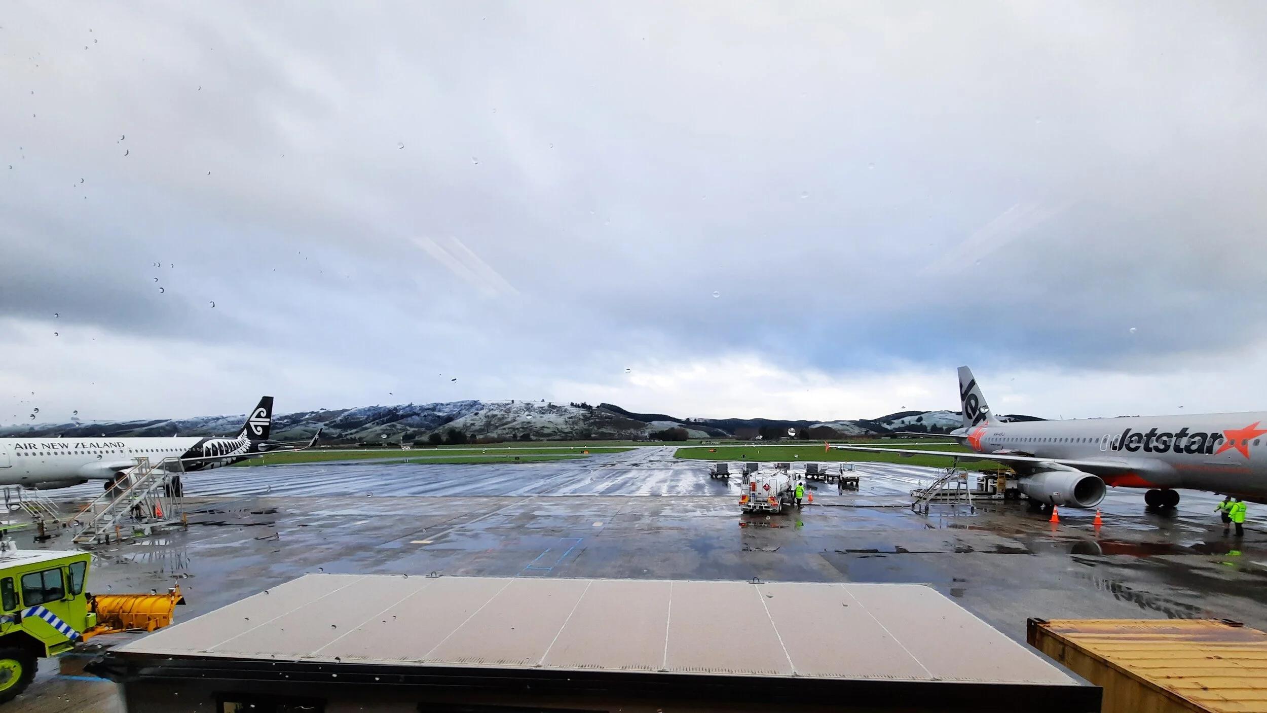
The rivals at Dunedin Airport. Behind them, Gledknowe and Smooth Hill.
Air New Zealand vs Jetstar
Air New Zealand is similar to British Airways and United Airlines. Jetstar, an Australian budget airline, is similar to Easyjet.
Jetstar is my preference, both because its flights are cheaper and because I've had less difficulty changing my booked flights.
Air New Zealand has much more entertaining safety briefings (YouTube), and has never weighed my carry-on backpack to ensure that it's under the 7kg limit. It also flies more routes.
Driving
I have had good or acceptable experiences renting a car from Ezi, Drive NZ, Omega, Snap, Ace, Budget, Apex, Anzed, Hardy Cars, and New Plymouth Airport Rental Cars.
There are a few ultra-budget agencies which I avoid due to their reputation. See customer reviews on Rankers.co.nz.
It's worthwhile to locate the rear-view camera of a car before it gets obscured by splattered mud. This camera is usually just above the license plate.
NZTA Journeys provides updates on road conditions, e.g. after storms. I think Google Maps mirrors these updates.
DangerousRoads.org describes certain mountain/gorge roads, paved and unpaved.