Wither Hills circuit, Blenheim, NZ


My route was clockwise from the parking lot at Redwood Street Gateway, near the top of the circuit.
Copyright Marlborough District Council, used with permission.
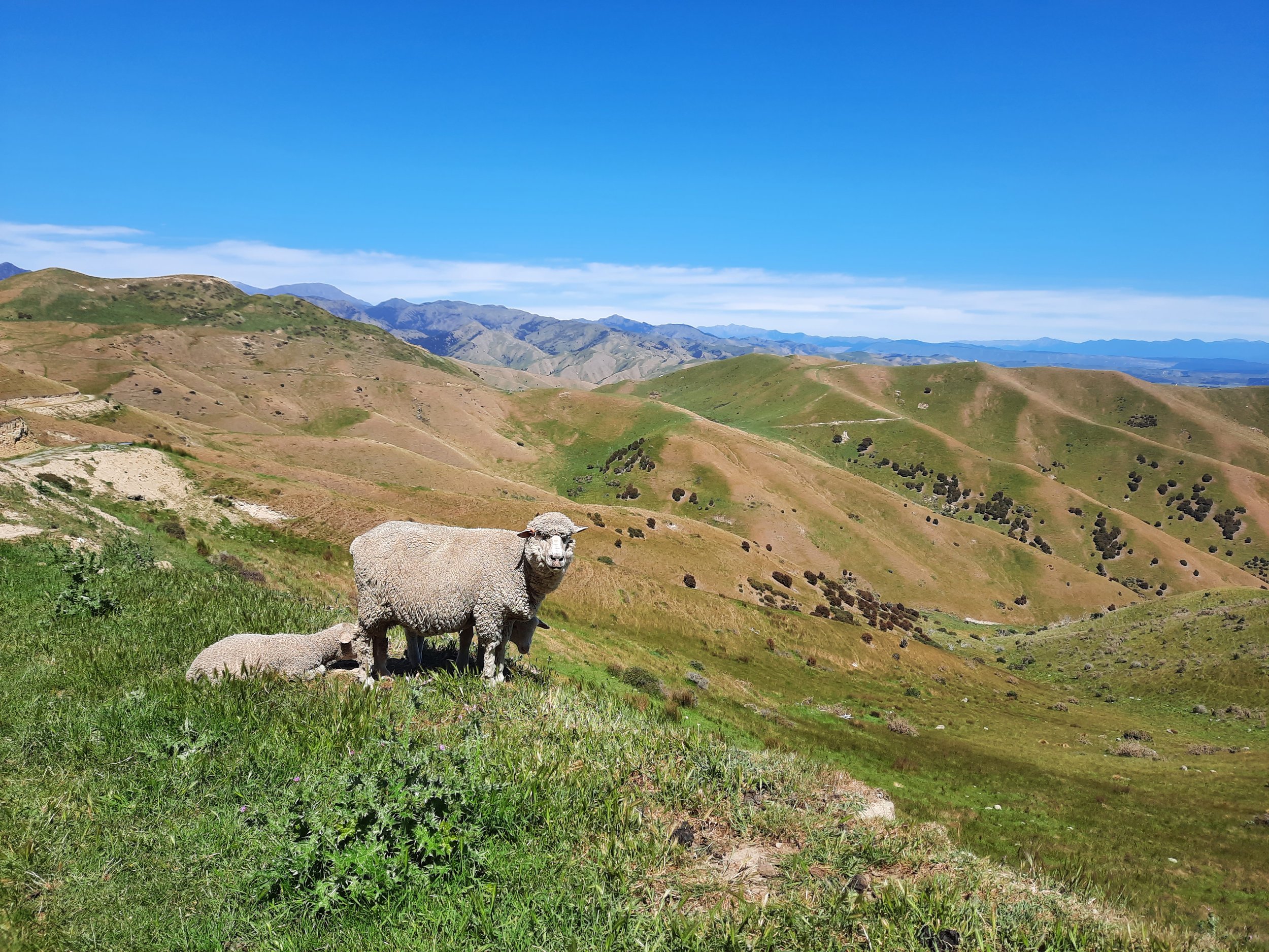
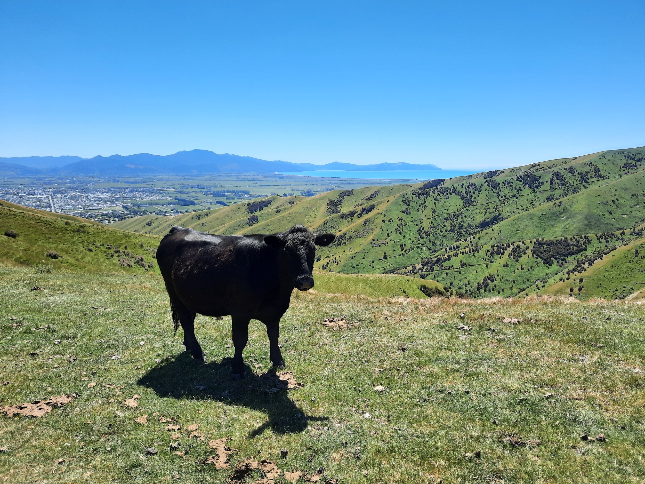
Wither Hills Farm Park is on the the southern edge of Blenheim, Marlborough, South Island. There are a number of tracks for walking and/or mountain biking, as well as a lot of sheep and some cows (which all seemed to be fenced off). I did a short circuit over Mt Vernon (A7QM on the DOC topomap), which is the high point at 422 meters.
Time
Including breaks, the circuit took me around 3 hours 20 minutes. It was around 50 minutes from the trailhead to the peak of Mt Vernon.
Route
From the Redwood Street parking lot, I took Sutherland Stream Trail east for a minute, then turned uphill on Mt Vernon Track. The ascent was a mixture of gentle and somewhat steep sections. A short side-trip reaches the summit.
Then, I took Split Apple Peak Track around the head of the valley of Sutherland Stream. Next, I descended by Reservoir Ridge (although this first involved walking up a hill to the crest of the spur). Finally, I returned to the parking lot along the Lower Farm Track and Redwood Street.
When I started around 10:00, there were dozens of locals visible on various tracks. By the time I was finishing, there were far fewer people around, and the parking lot had fewer cars. If this is the normal pattern, then my guess is that the locals have learned to hike early, because there is very little shade.
If 1 is an easy track, and 4 is using hands and feet on exposed rocks, I give these tracks a 1.


The park is named for a landowner with the surname Wither, as opposed to the grass withering in Blenheim’s arid climate.
Other pages about the Farm Park
https://www.marlborough.govt.nz/repository/libraries/id:2ifzri1o01cxbymxkvwz/hierarchy/documents/recreation/events-list/Brilliant_Wither_Hills_Farm_Park_Brochure_and_Map.pdf (see map on page 2)
https://marlboroughnz.com/guides/walks/wither-hills-farm-park-2 (interactive map)
https://eservices.marlborough.govt.nz/facilities/facility/wither-hills-farm-park
https://www.alltrails.com/parks/new-zealand/marlborough/wither-hills-farm-park/walking
Nearby hikes
Mt Robertson, on the coast
Altimarloch, Awatere Valley
