Highlights of Auckland, NZ
For pages on specific hikes that I’ve done in Auckland, see the Auckland category.
Auckland (Tāmaki Makaurau) is dotted with dozens of volcanic mounds. Some of them are now pleasant grassy parks, such as Mt Eden (Maungawhau), One Tree Hill (Maungakiekie), and Auckland Domain, all pictured below. Where did they come from?
Auckland floats atop a vast lake of active magma, which may push through in a new location, forming a new cone, at any time – next week, next year or next century.
-Frank Davis, ‘Auckland volcanoes: The ultimate guide to our volcanic field’
Rangitoto Island
This island, easily accessible via Fullers ferry from downtown or Devonport, is Auckland’s newest and largest volcano. From the island’s wharf, I reached the forested crater in about an hour. Expect a crowd when the weather is good.


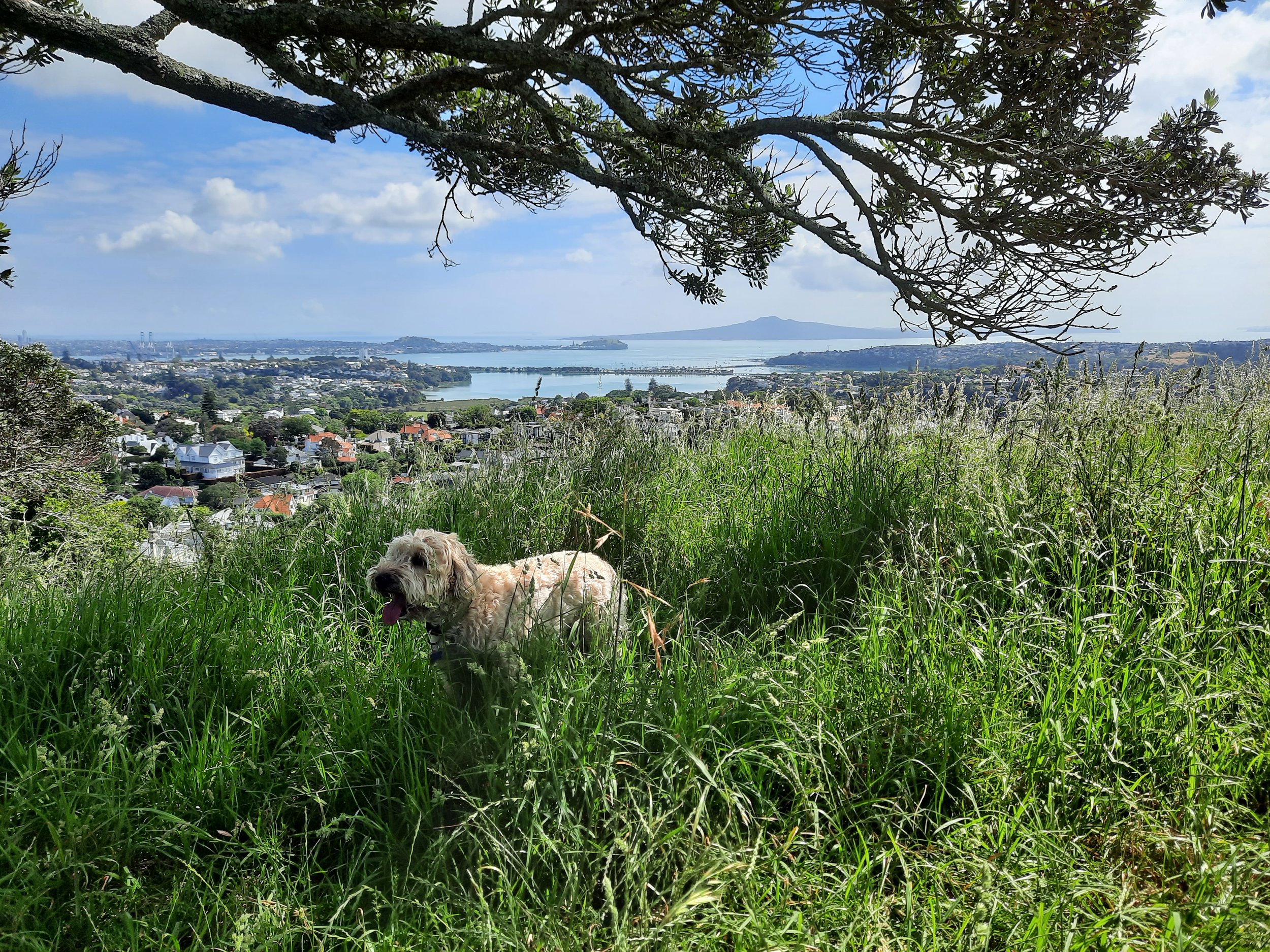
North Shore


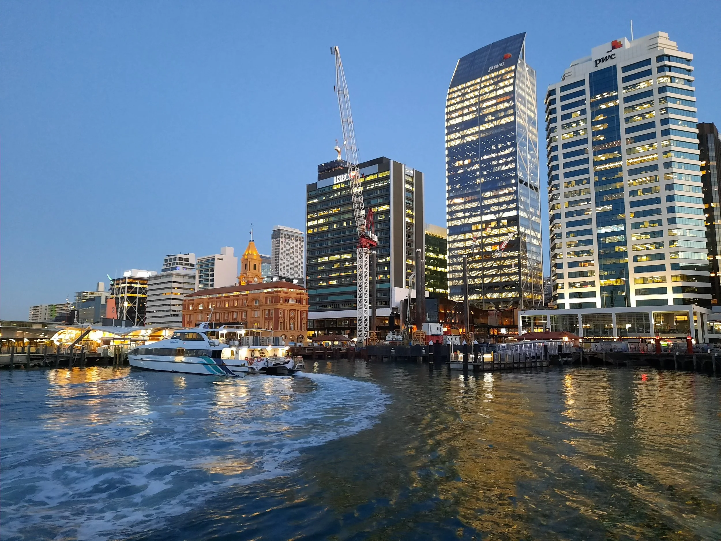
Central Auckland


Musick Point, Bucklands Beach, East Auckland
For more photos and a route, see https://www.aucklandcouncil.govt.nz/parks-recreation/get-outdoors/aklpaths/Pages/path-detail.aspx?ItemId=30 and https://www.relive.cc/view/vmqXXGV1roq.


South Auckland
A nice walking loop in Māngere Bridge took me around 4 hours. From the village center, I crossed over the top of Māngere Mountain and descended toward the lagoon. I then walked west along the coast, through Ambury Regional Park. Turning north, the walk passed along volcanic black coast and through pasture which may have a bull in it. The Kiwi Esplanade Walkway then returns eastward to the village.
Māngere Mountain has two fully Māori names, Te Pane o Mataoho and Te Ara Pueru.


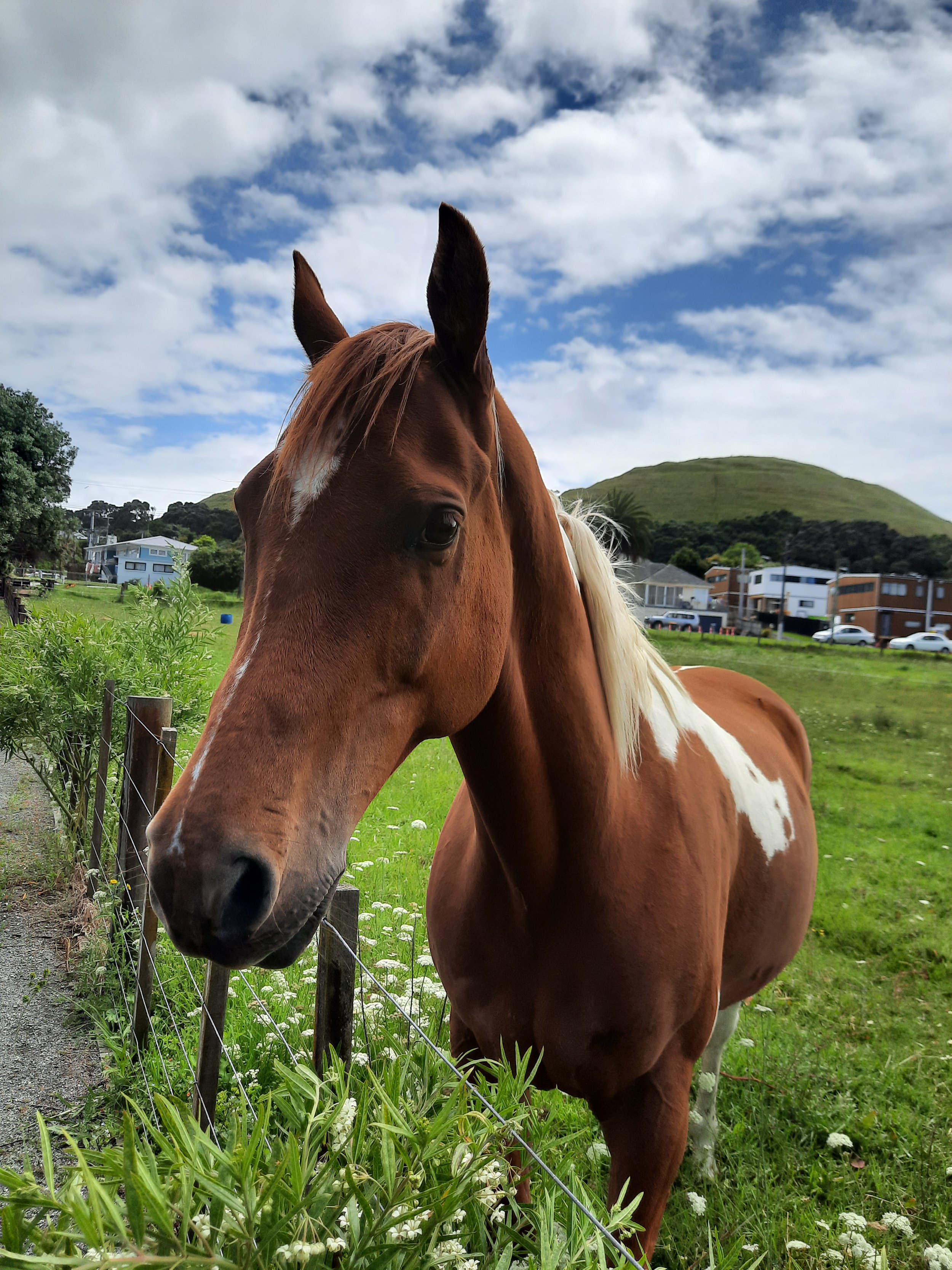


I think all of the photos on this page are unedited. The quality of the horse photo surprises me, and I don’t want to lose resolution by rotating it.
For more of the cats, dogs, and horses, I’ve seen in Auckland, check out this animals post. There are also some native birds in the other animals post.