Southern South Island, NZ: Scenery
Photos taken from the roadside or on short walks in the southern regions of Te Waipounamu (South Island), Aotearoa New Zealand. For the northern and western parts of the island, see here. For the central part, Canterbury, see here.
Otago (Ōtākou)
Lake Wānaka and Lake Hāwea


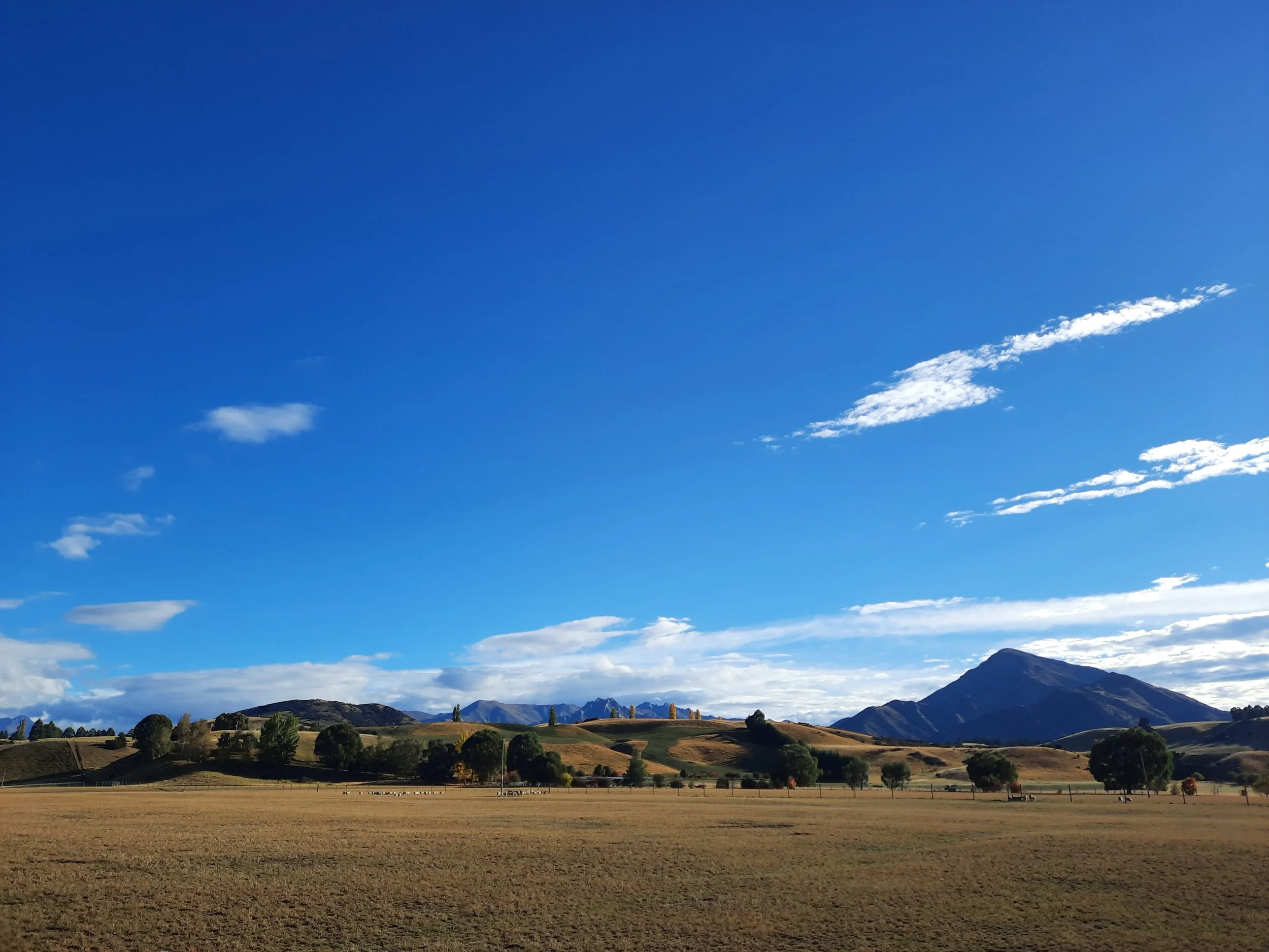


Cardrona Valley, Crown Range Rd, Arrowtown, and Arrow Junction
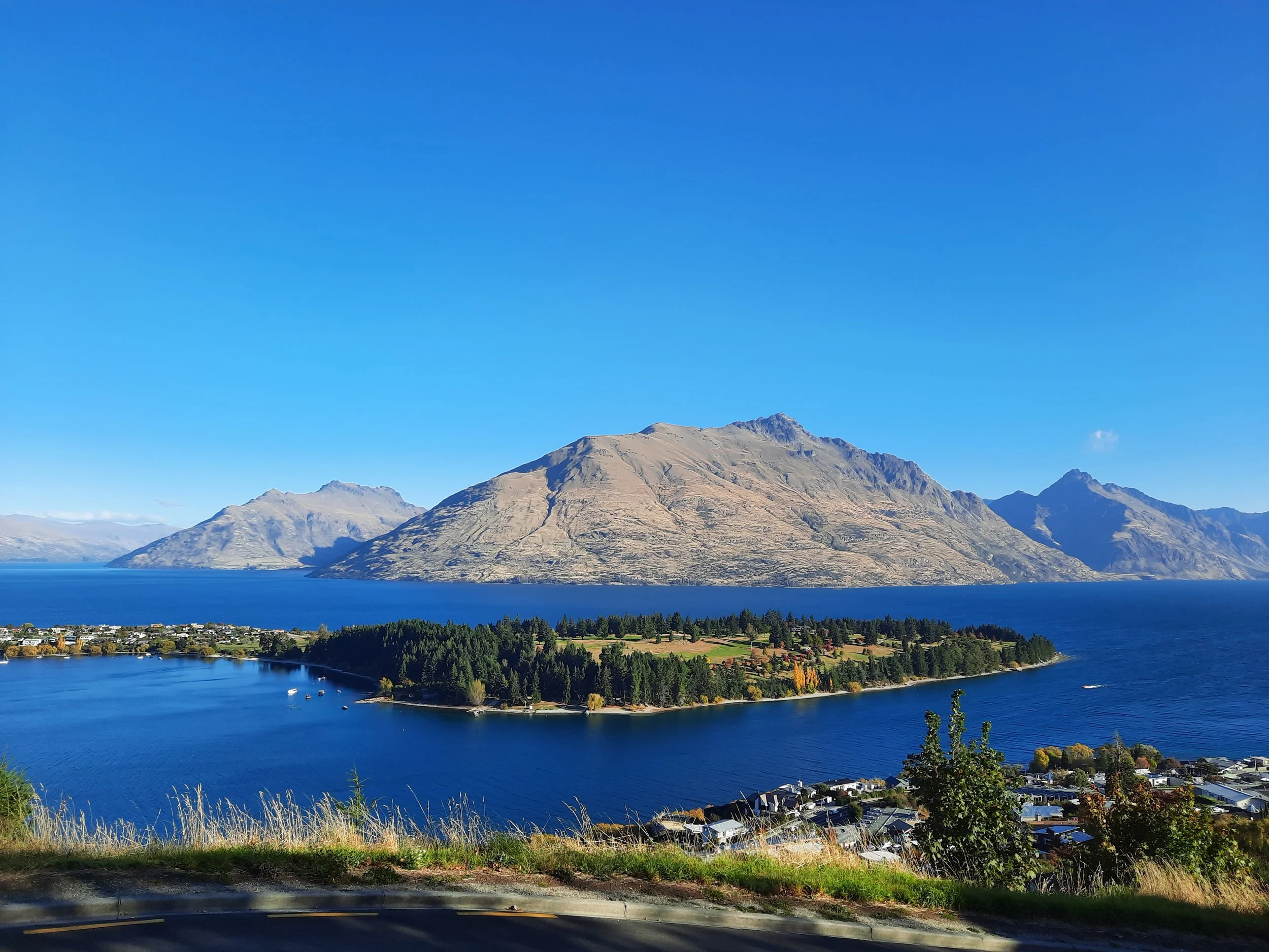
North to south, approaching Queenstown from Wānaka.
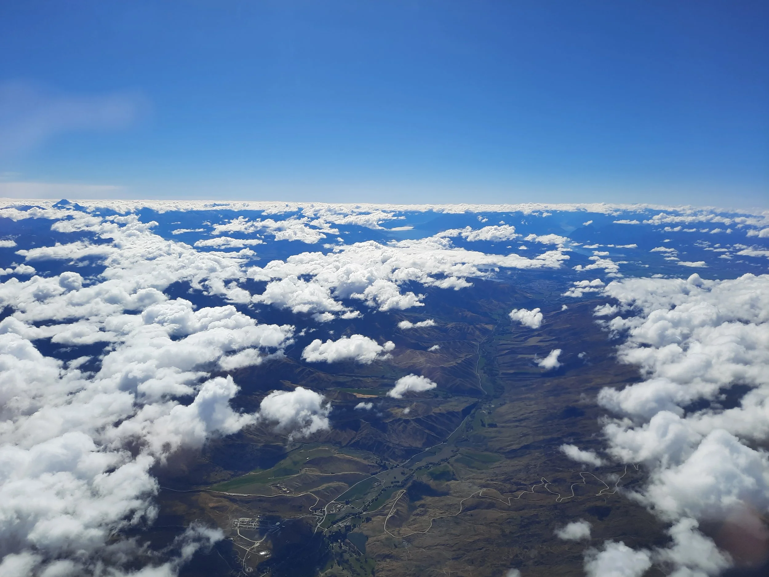
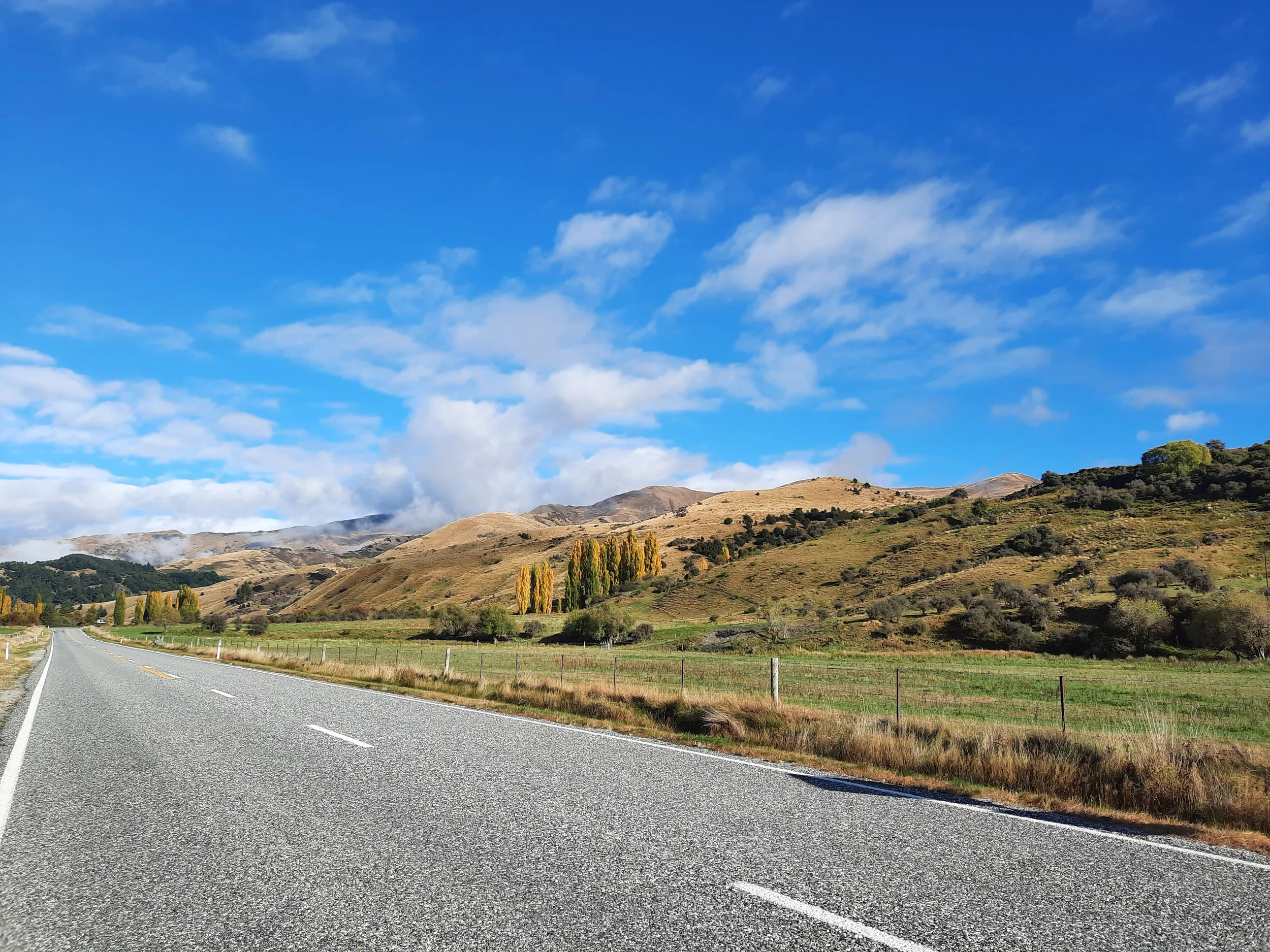
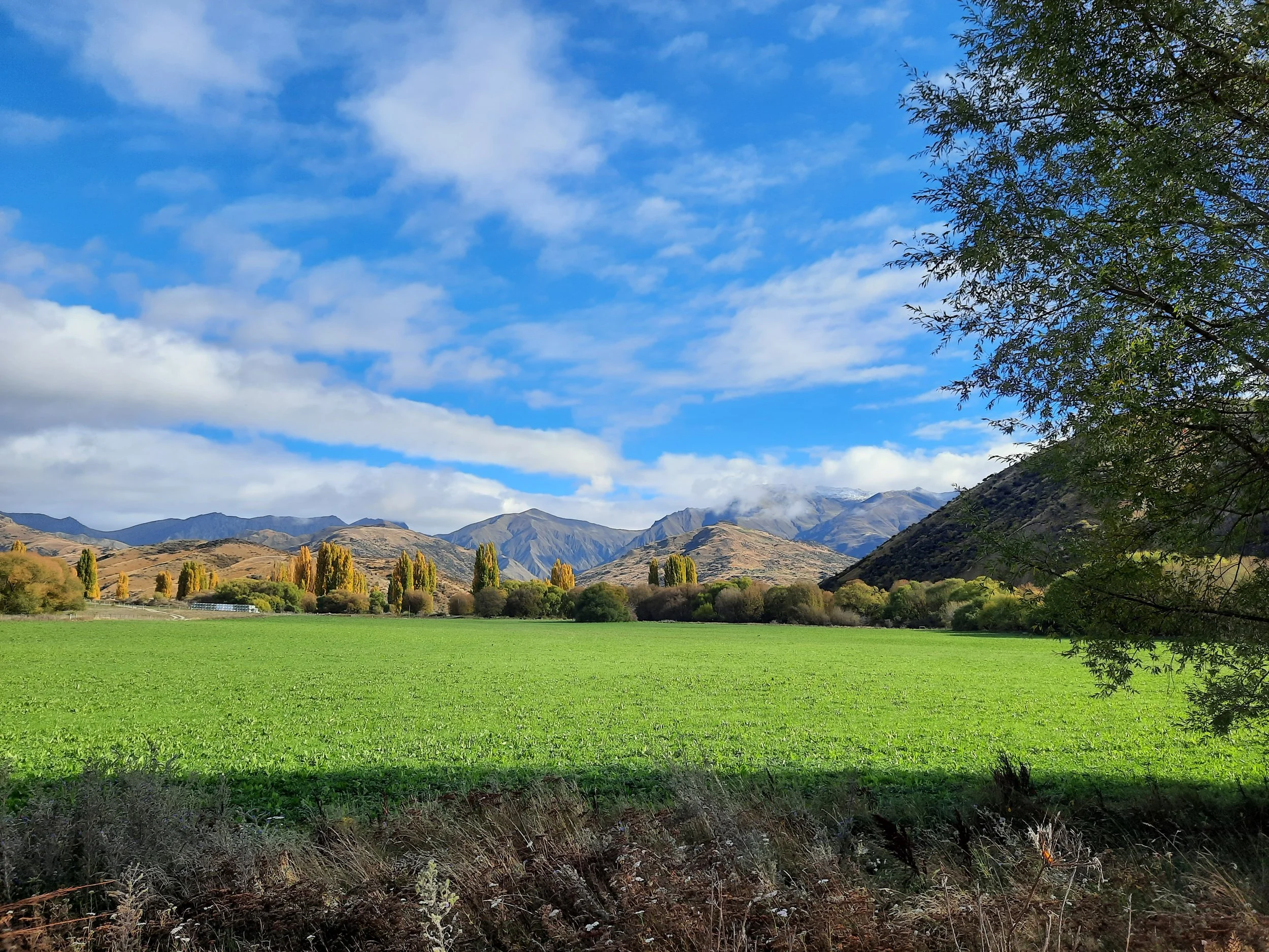


Ben Cruachan (just left of center) and the Remarkables (center), from a lookout on Crown Range Road. Center-right is toward Frankton and Queenstown. Out of view at far right is Arrowtown. Left is Kawarau Valley, toward Cromwell.
Lake W(h)akatipu area
Queenstown (Tāhuna) is the major settlement on this lake.


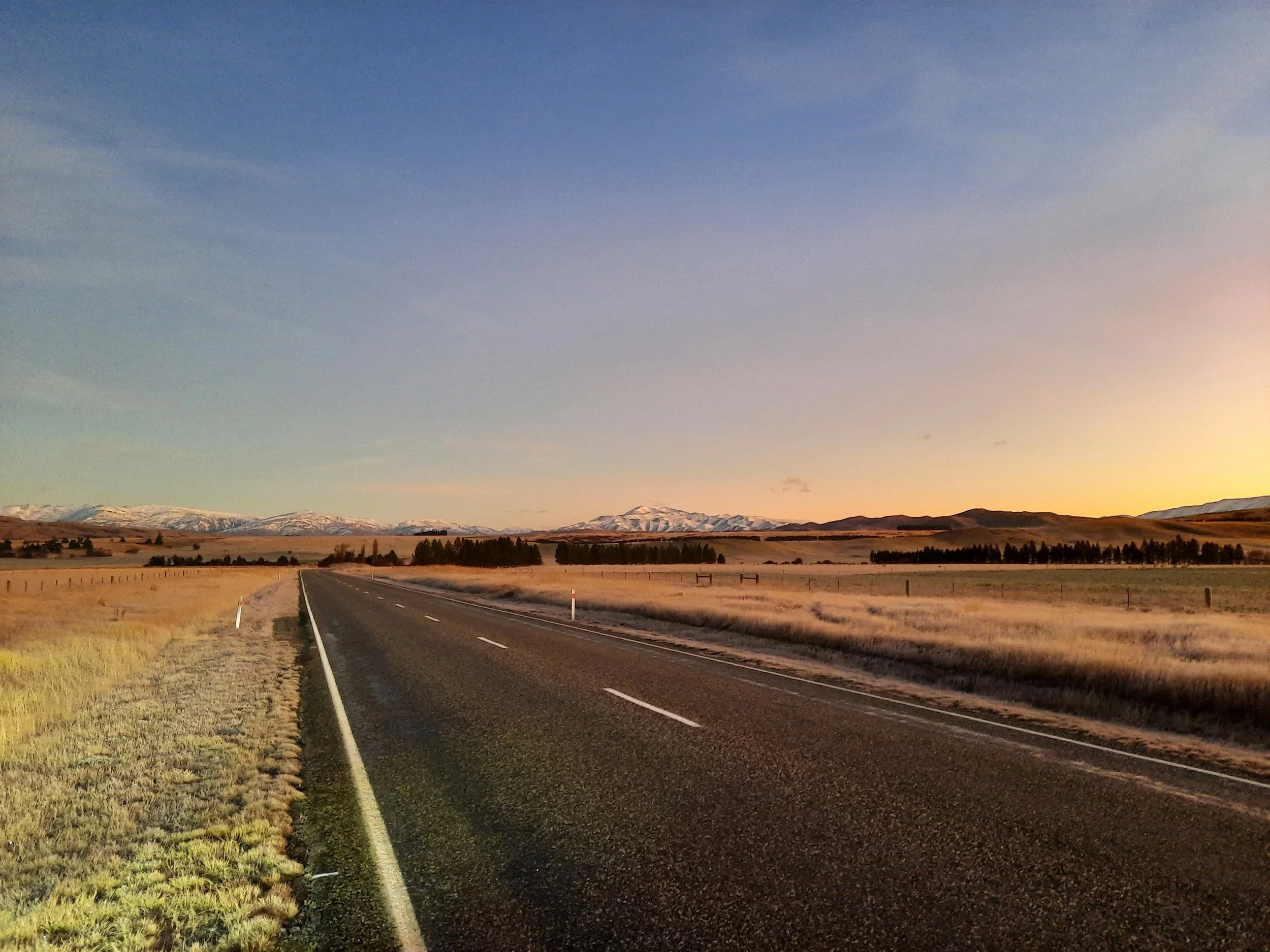
northern Central Otago: from Cromwell to Alexandra to Ranfurly to Strath Taieri
Otago has a calmness, coldness, almost a classic geological order. It is, perhaps, an Egyptian landscape, a land of calm orderly granite.
Driving one day with the family over hills from Brighton or Taieri Mouth to the Taieri Plain, I first became aware of my own particular God, perhaps an Egyptian God, but standing far from the sun of Egypt in the Otago cold. Big hills stood in front of the little hills, which rose up distantly across the plain from the flat land: there was a landscape of splendour, order and peace. (The Crucifixion hadn’t yet come: perhaps this landscape was of the time before Jesus. I saw an angel in this land. Angels can herald beginnings).
I saw something logical, orderly and beautiful belonging to the land and not yet to its people. Not yet understood or communicated, not even really yet invented
Colin McCahon - Beginnings, Landfall 80, 1966
See here for his paintings, most of which are too abstract for my taste.
These photos run roughly from west to east, along highways 8, 85, and 87 and on nearby roads, especially those in or near the Ida Valley.


The highway between Outram (a suburb of Dunedin) and Hyde (near Middlemarch), passing through Shannon and Sutton in the above photo, is my favorite drive in Otago. Unlike some scenic drives, it’s almost as good in the middle of the day as it is when the light is more dramatic.
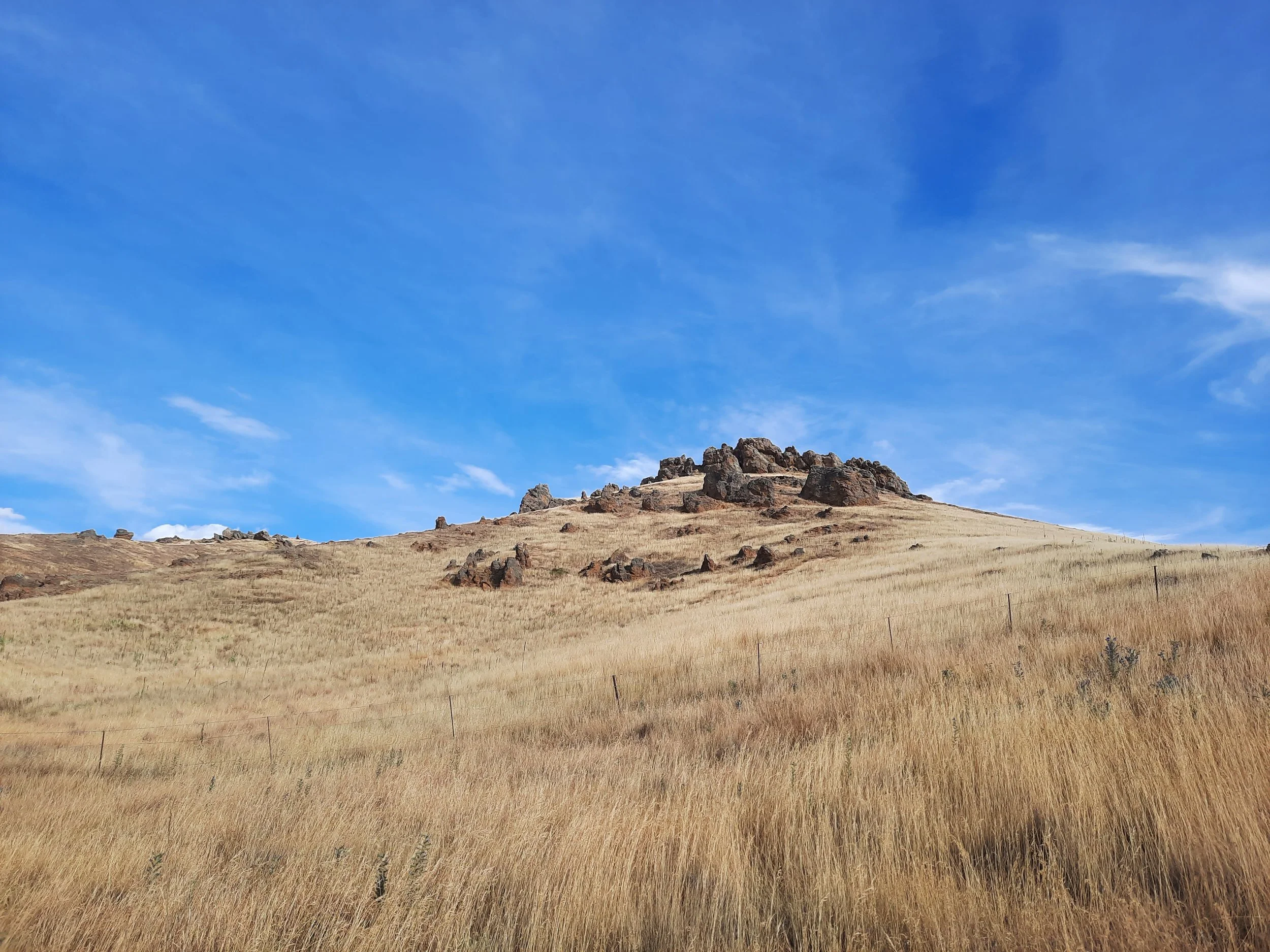
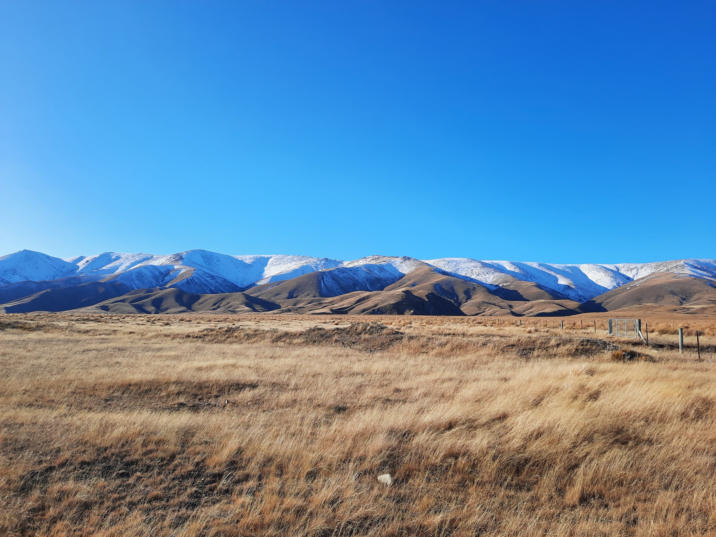
southern Central Otago: from upper Taieri Valley to Lake Onslow to Teviot Valley to Roxburgh Gorge
These photos are from the southern half of a long day clockwise circuit which I drove from Ranfurly one summer day. The circuit took a long time for four reasons:

The purple lines are paper roads, accessible to the public. In some cases, they offer no track at all, including on this hill.
Screenshots of the NZ topographic map are licensed as CC BY 4.0 by Toitū Te Whenua Land Information New Zealand (LINZ).
Distance.
Rough dirt/rock roads.
A deep ford near Lake Onslow, between the gravel pit (marked on topomaps) and Point 734. I spent a while reading the SUV’s handbook, then walked the ford to gauge it was about 20cm at the deepest point of the shallowest path (on the side closer to the lake). And indeed, my Ford Escape escaped the ford.
To avoid additional fords even closer to the lake, I took the high road north of Point 763 rather than the lakeside road south of it.
Between Lake Onslow and Mt Teviot, I came across a stranded Dunedinite, T. She had driven her Rav4 part-way off the edge of a steep hill. Her smartphone wasn’t working, so we hiked to the top of Mt Teviot and used my smartphone to call AA. After around 90 minutes, a truck arrived to get her back on the road, and I continued on.
The 15-minute hike isn’t worth doing. There is no publicly accessible track through the steep tussock, and the views are the same as those from the roadside. The outdoor access map shows the paper road route, for anyone interested.
The first 2 photos are near the beginning of the circuit, but were taken on a previous evening.


View from Mt Teviot (977m), starting at Lake Onslow to the northeast. Not better than roadside views.
View over Onslow View.
The Catlins (Otago and Southland)
These photos run from west to east, following my drive from Kaka Point in the east to Fortrose in the west. That is roughly the span of the Catlins coast.


Southland
Milford Sound and Milford Valley, northern Fiordland


Hollyford and Eglinton Valleys, northern Fiordland


Central Fiordland


Southern Fiordland


South coast of Southland


Hilltop lookout, Mores Scenic Reserve, Riverton