Cullen Point tracks, Havelock, NZ


Screenshots of the NZ topographic map are licensed as CC BY 4.0 by Toitū Te Whenua Land Information New Zealand (LINZ).
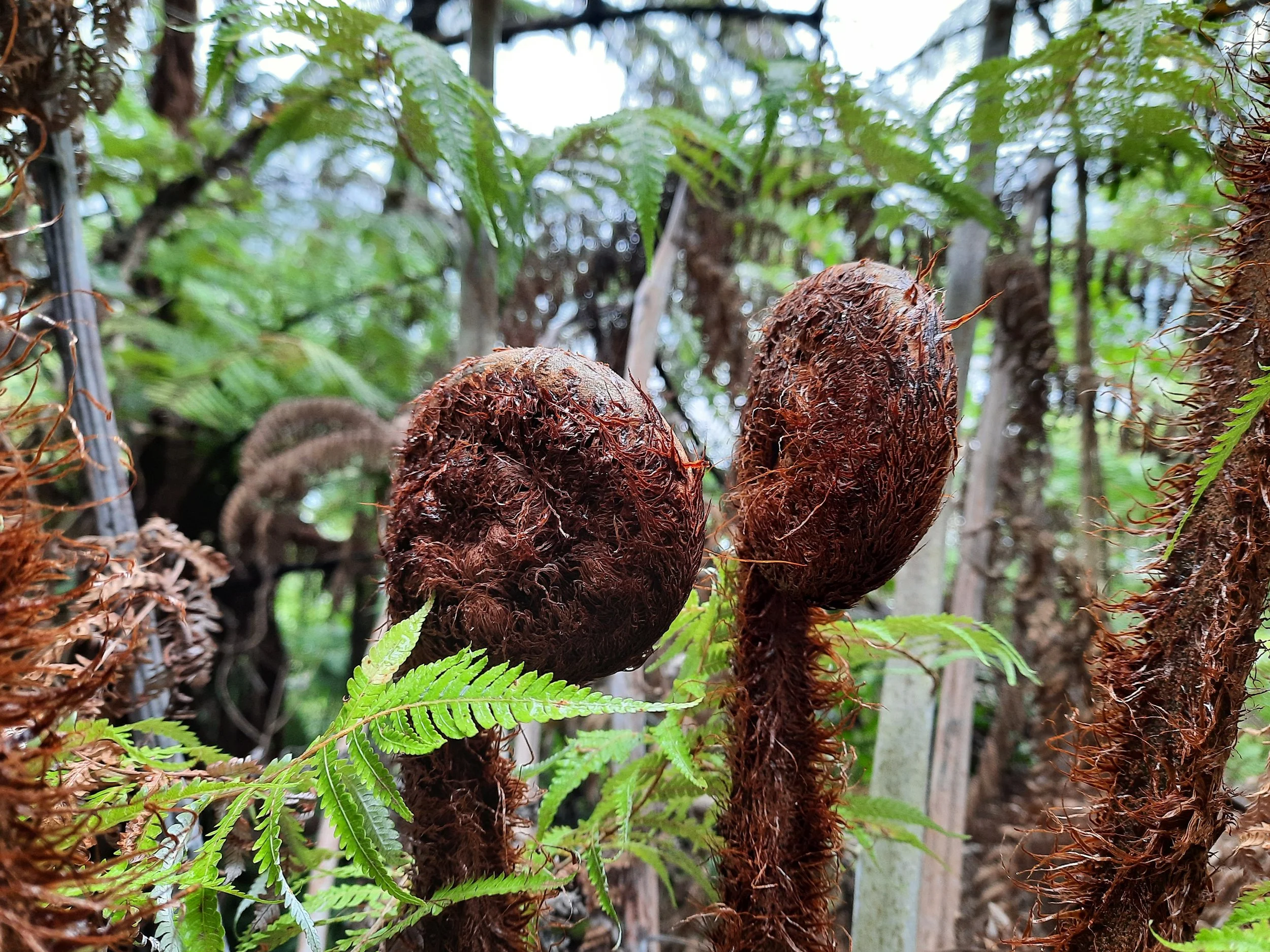
Cullen Point is a small peninsula north of Havelock in the Marlborough Sounds. The peninsula contains two hikes
a short loop hike, the Coastal Track, and
a very short summit hike, the Lookout Track. Google Maps calls it the Mahaki Paoa Lookout, but DOC doesn’t use this name.
Don’t confuse the small town of Havelock with the large town of Havelock North, which is near Napier in the Hawke’s Bay Region of North Island.
Time
AllTrails users report an average time of 1 hour 18 minutes on the Coastal Track, and 21 minutes on the Lookout Track. These took me around 45 minutes and around 15 minutes, respectively.
Route
AllTrails reports that the Lookout Track gains 52 meters over 1 km return, while the Coastal Track gains 160 meters over 4.2 km return.
The right portion of the Coastal descends from the parking lot, while a wider combined track goes straight. Several meters later, the left portion of the Coastal Track diverges left from this wide track, which continues uphill to the lookout.
Both seem like appropriate walks for a moderately rainy day. It had been raining on and off when I did the walks, and I found the loop track muddy in a few places.
If 1 is an easy track, and 4 is using hands and feet on exposed rocks, I give these tracks a 1 in normal conditions, or a 2 in certain places when muddy.


Hunting
The entire route is in a hunting area. Hunters are forbidden to “discharge firearms near tracks, huts, campsites, road-ends or any other public place.” I have hiked in more than 30 hunting areas, and only passed hunters twice - this wasn’t one of those hikes.
Here is the DOC topomap with all hunting areas visible.
Other pages about this hike
https://www.alltrails.com/trail/new-zealand/marlborough/cullen-point-coastal-track
https://www.alltrails.com/trail/new-zealand/marlborough/cullen-point-lookout-track
Cullen Point seen from elsewhere

Just left of center. Seen from Mt Takorika.