Iron Hill, Cobb Reservoir, NZ


Iron Hill (1695m) is a mountain in Kahurangi National Park’s Lockett Range, on which I did a long hike. It is in the Tasman District of South Island. The peak rises above the Sylvester Lakes. The trailhead is beside Cobb Reservoir, around 75 minutes from Tākaka, Golden Bay.
This hike has some advantages over the similar hike to Mt Peel, southwest across the Cobb River Valley. The drive is shorter, the ascent through forest is easier, and the rocky portion of the ascent is both more interesting and easier.
Don’t confuse it with Mt Iron, which is far further south, near Wnaka in Otago.
Time
Wilderness Magazine reports 3.75-4.25 hours one-way.
Including all breaks, the round trip took me around 9 hours 10 minutes from the official trailhead. It was another 10-15 minutes return from where I parked at the foot of the reservoir. Including breaks, it took me around 3 hours 30 minutes from where I parked to the ridge containing the summit.
Access
Cobb Valley Road is a normal road. After crossing a bridge, it becomes the narrow Cobb Dam Road, winding through a steep gorge above the Tākaka River. There are few guardrails and several rockfall zones. Passing another car will often require some backing up. After the second bridge, which is at Cobb Dam, the road surface is no longer paved, making it harder to handle the tight turns. I wouldn't drive a campervan along this road, and I am disappointed that some people do so.
Google Maps says it’s 1 hour 15 minutes from the reservoir to Tākaka. I drove more slowly than that.
I don't recommend doing this as a day-trip from Motueka or Nelson. Why not? Because you would have to drive over Tākaka Hill twice. A souvenir shop in Tākaka sells a shirt reading, "It’s just a hill, get over it," the joke being that it's actually a tediously long road over a chain of hills with 257 corners.
Route

Purple shows the stretch which I walked, but could have driven, as my 4WD SUV could have reached the official trailhead (where red meets purple).
Screenshots of the NZ topographic map are licensed as CC BY 4.0 by Toitū Te Whenua Land Information New Zealand (LINZ).
Wilderness Magazine reports 1008m of elevation gained. Their reported distance is obviously too short. AllTrails reports 12.6km round-trip to the foot of Lake Sylvester; I estimate it’s another 5.5km round-trip from there to the peak of Iron Hill, so 18.1 total.
There are two possible parking places. The first is Sylvester Hut Track parking lot, which is the official trailhead. The second is a dirt clearing further away, at the foot of the reservoir, just before the dam which the Cobb River exits the reservoir. Parking here avoids the final two minutes of driving, over the dam and along the narrow forest road to the official parking lot.
The ascent through forest was on a wide, good-quality track that was occasionally steep. I rested at Sylvester Hut, then continued along the poled route through the tussock to the foot of Lake Sylvester, where I saw a baby weka up close for the first time.
There are no more poles from that point, but there are a lot of cairns, which I then followed to Iron Lake. This is a nicer place to rest than Lake Sylvester.
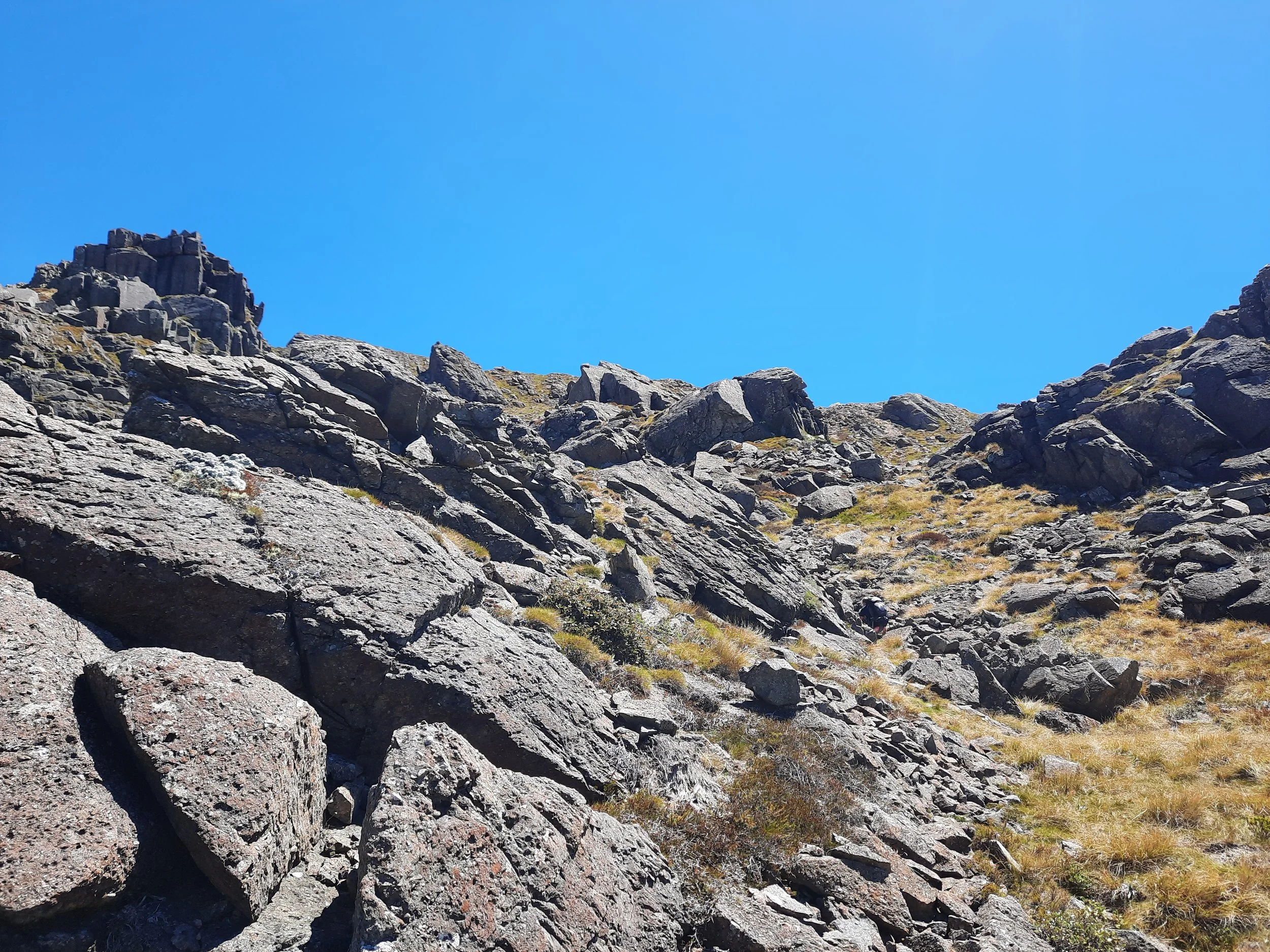
The ascent to the peak of Iron Hill is rocky and moderately steep, but not too challenging, thanks to the cairns. As the photos at ClimbNZ show, it’s only too steep if you go to the wrong place - i.e. the places climbers aim for.
One short stretch was loose, but otherwise it was solid ground. The summit ridge is wide and the summit doesn’t offer a different view. I ascended in company with an ecologist, who pointed out a white arrow on the ground of the ridge. It shows the way down, and must be especially helpful for multi-day hikers arriving from the north who didn’t ascend this route.
After visiting the summit and the viewpoint to its north, where I watched the ecologist begin his descent toward Point 1631, I turned around and walked south past the white arrow to climb a steep outcropping seen in photo 24. This provided the best views of Mt Peel and Mt Arthur. From there, I started out on a hike along the rocky undulating ridge, but changed my mind after slipping on the black fungus-like thing that blanketed some of the rocks I had been hoping to walk along. I turned left and sidled back to cairned route.
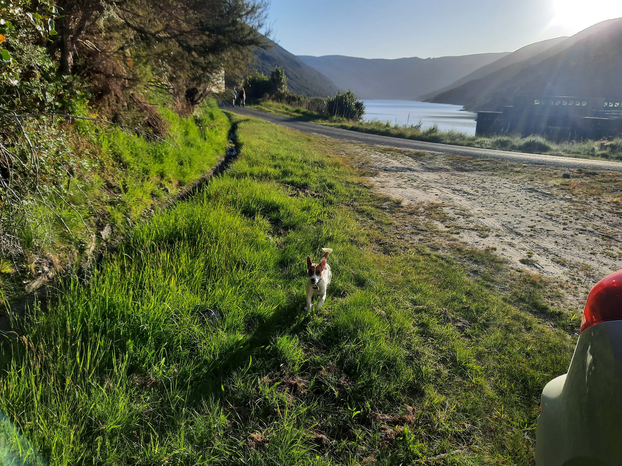
As I descended through the upper forest, I met what seemed like a family of weka: male, female, and two chicks. On returning to where I parked, I was greeted by a dog named Rooney.
If 1 is an easy track, and 4 is using hands and feet on exposed rocks, I give this a 3 at worst to the summit. Most of it was a 1 or a 2. Climbing to the rock outcrop is a 4.


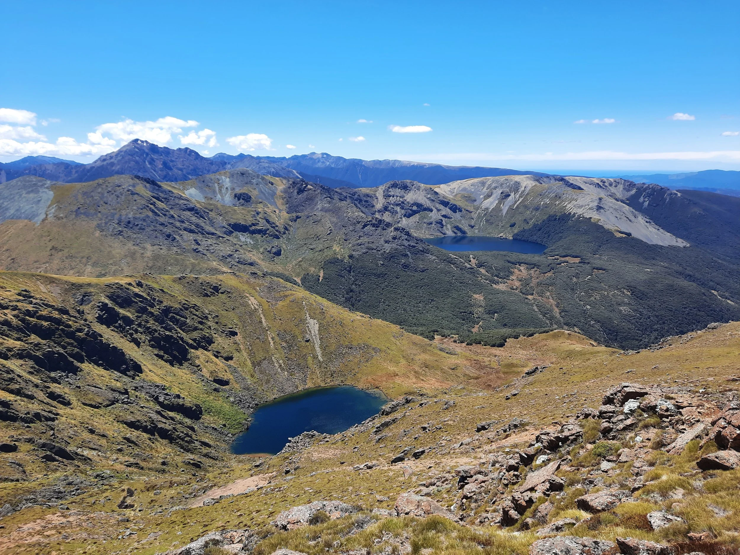


Far left, Mt Arthur and the Twins. Central, across the Cobb River Valley, is Peel Range, with Mt Peel at left, Mt Mytton center-left, and Mt Ranolf and Mt Prospect center-right. Right, Lockett Range continues to Mt Benson. Further right, perhaps Kākāpō Peak and then Mt Snowdon.

Just left of center is Point 1631. Below its imposing dark rock formations is Lake Lillie. Beyond it, Point 1610 and Mt Lockett, with Lake Lockett below it to the right. It’s hard to identify the mountains in the far distance.
Hunting
The entire route is in a hunting area. Hunters are forbidden to “discharge firearms near tracks, huts, campsites, road-ends or any other public place.” I have hiked in more than 30 hunting areas, and only passed hunters twice - this wasn’t one of those hikes.
Here is the DOC topomap with all hunting areas visible.
Other pages about this hike
Pages about other hikes involving Iron Hill
Pages about other hikes involving Lake Sylvester
https://waimeatrampingclub.org.nz/reports-news/trip-reports/trip-reports-list/232-lake-sylvester (winter view)
Nearby hikes
Local history
What resulted was the biggest rock-and-earth dam constructed in the country, 221m across and 35m from its foundation to the access road across the top.

