Mt Bealey - Avalanche Peak Traverse, Arthur’s Pass, NZ

Arthur’s Pass is a village in Canterbury, South Island known for multiple long day-hikes accessible on foot on both sides of the valley. On the west side, Mt Bealey (1836m) and the well-known Avalanche Peak (1833m) can be combined in a traverse (either direction) which also crosses Point 1778 and Lyell Peak (1828m).
I wanted to finish the most difficult part of the ridge - between Mt Bealey and Point 1778 - earlier in the day, so I ascended the Mt Bealey Track. I think this was a good choice.
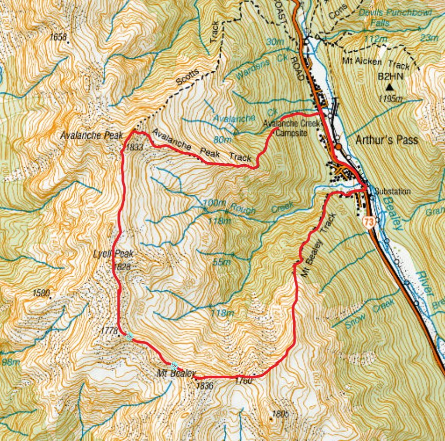
My route is clockwise. The two cyan dots at lower left are the start and end of the most dangerous part of the ridge.
Screenshots of the NZ topographic map are licensed as CC BY 4.0 by Toitū Te Whenua Land Information New Zealand (LINZ).
I took the steeper descent on Avalanche Peak, Avalanche Peak Track. The easier, slightly longer descent is Scotts Track, which I had ascended and descended on a previous out-and-back hike of Avalanche Peak. I recommend Scotts Track for all cases.
This is an unusually exposed day-hike. The village DOC office insisted that I rent a personal locator beacon (PLB) from them, since I was hiking alone. It was very appropriate for a hike like this. I later bought a PLB from Bivouac.
Time
Including all breaks, this took me around 11 hours 45 minutes. I hurried down Avalanche Track to get to the village’s only restaurant before it closed. A hypothetical walking-only time might have been around 12 hours 15 minutes.
Route
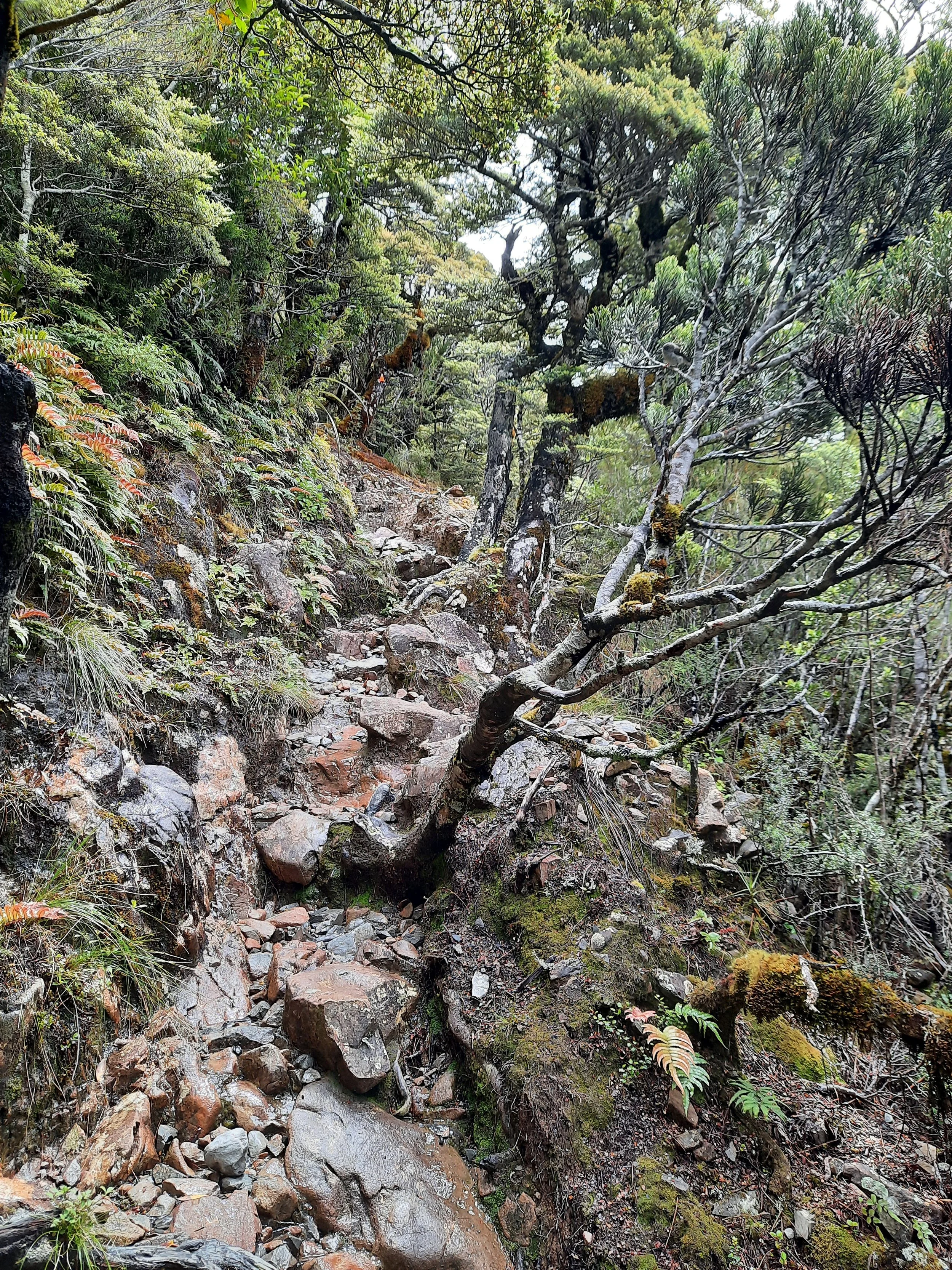
The Bealey Track trailhead is around a 10-minute walk south of the village center. The ascent here and the descent on Avalanche Peak Track are similarly steep forest routes with rocky, irregular tracks. I call these forest tracks ‘broken staircases’, because they remind me of an earthquake-broken stone staircase I saw in Kumamoto, Japan.
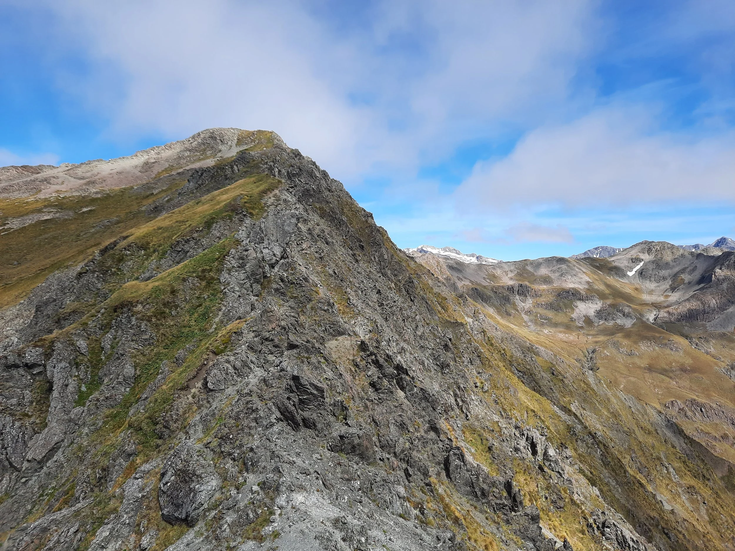
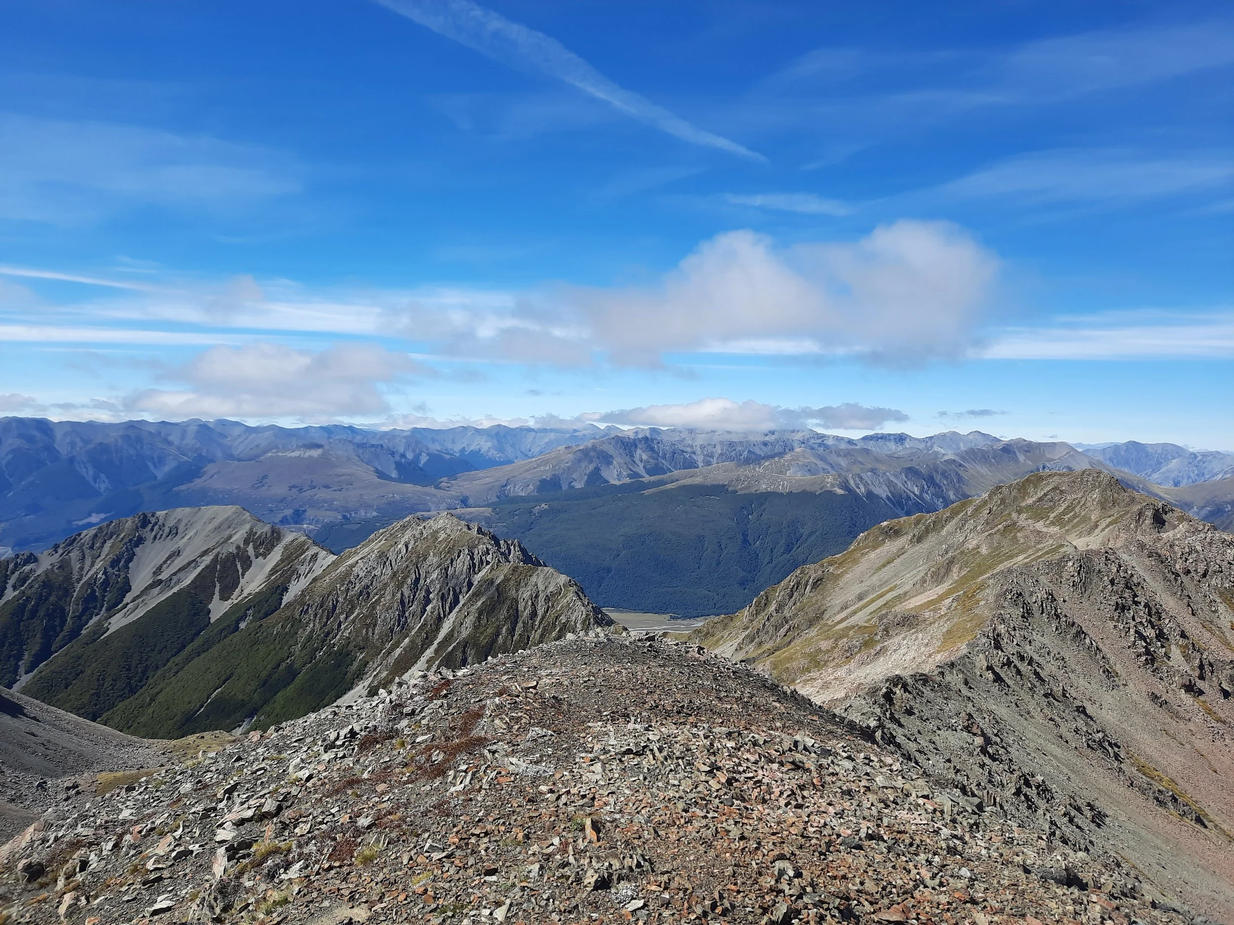
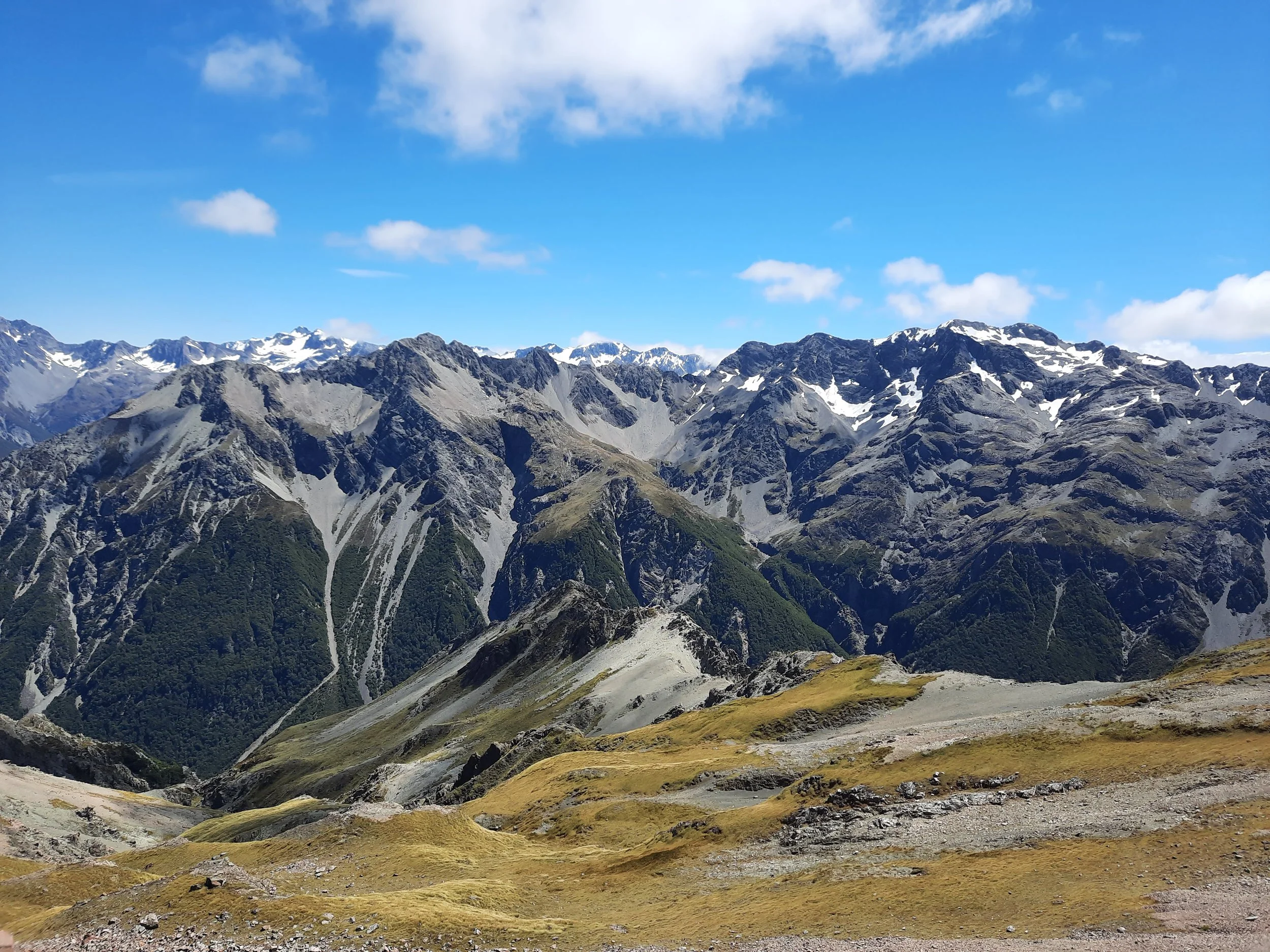
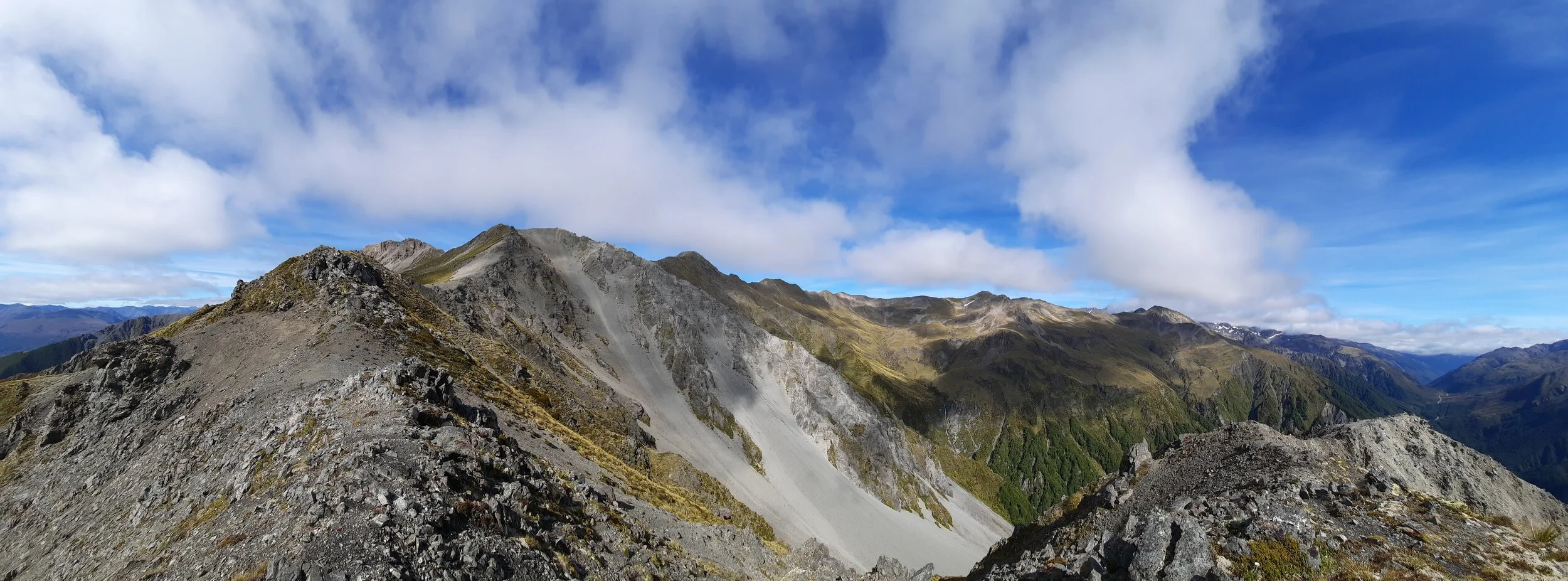
Above treeline, the track remains steep, and the problem shifts from tripping while stepping to finding the right place to step. There is a long, rocky ridge leading up to the peak of Mt Bealey. I descended a little bit, down from the ridge to the tussock and gravel to the left of it, whenever I didn’t see a good walking route on the ridge itself. It was slow but enjoyable.
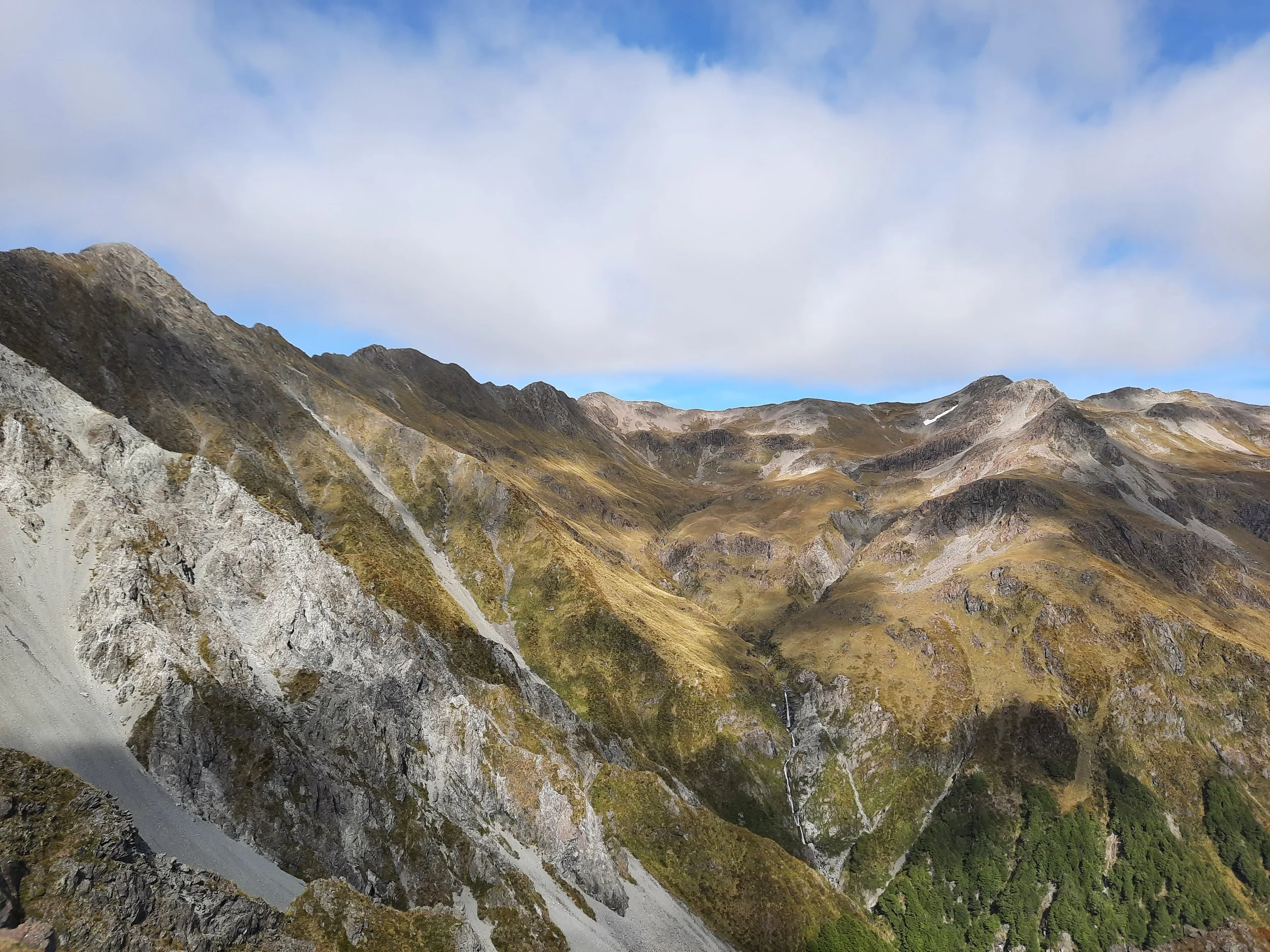
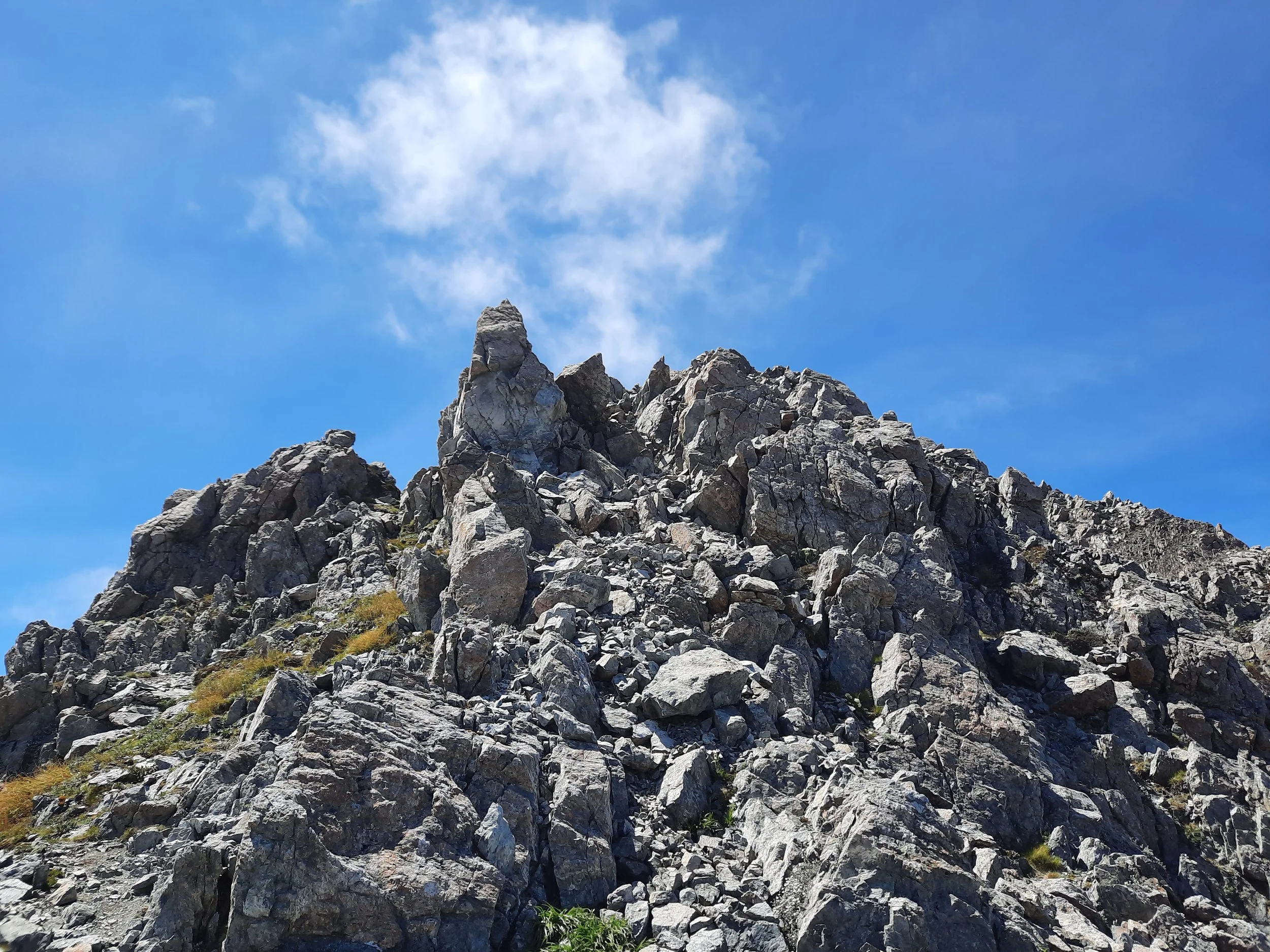
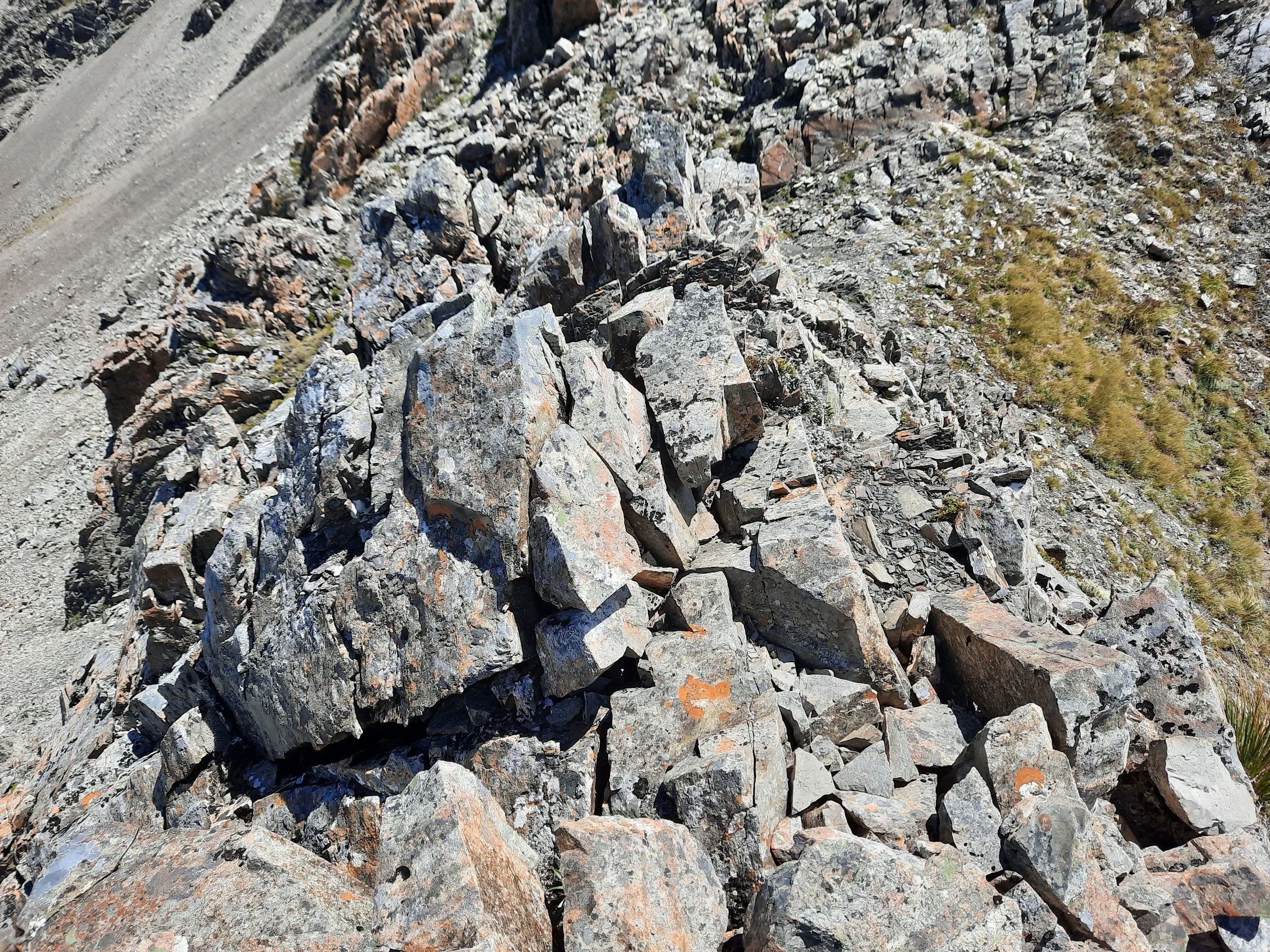
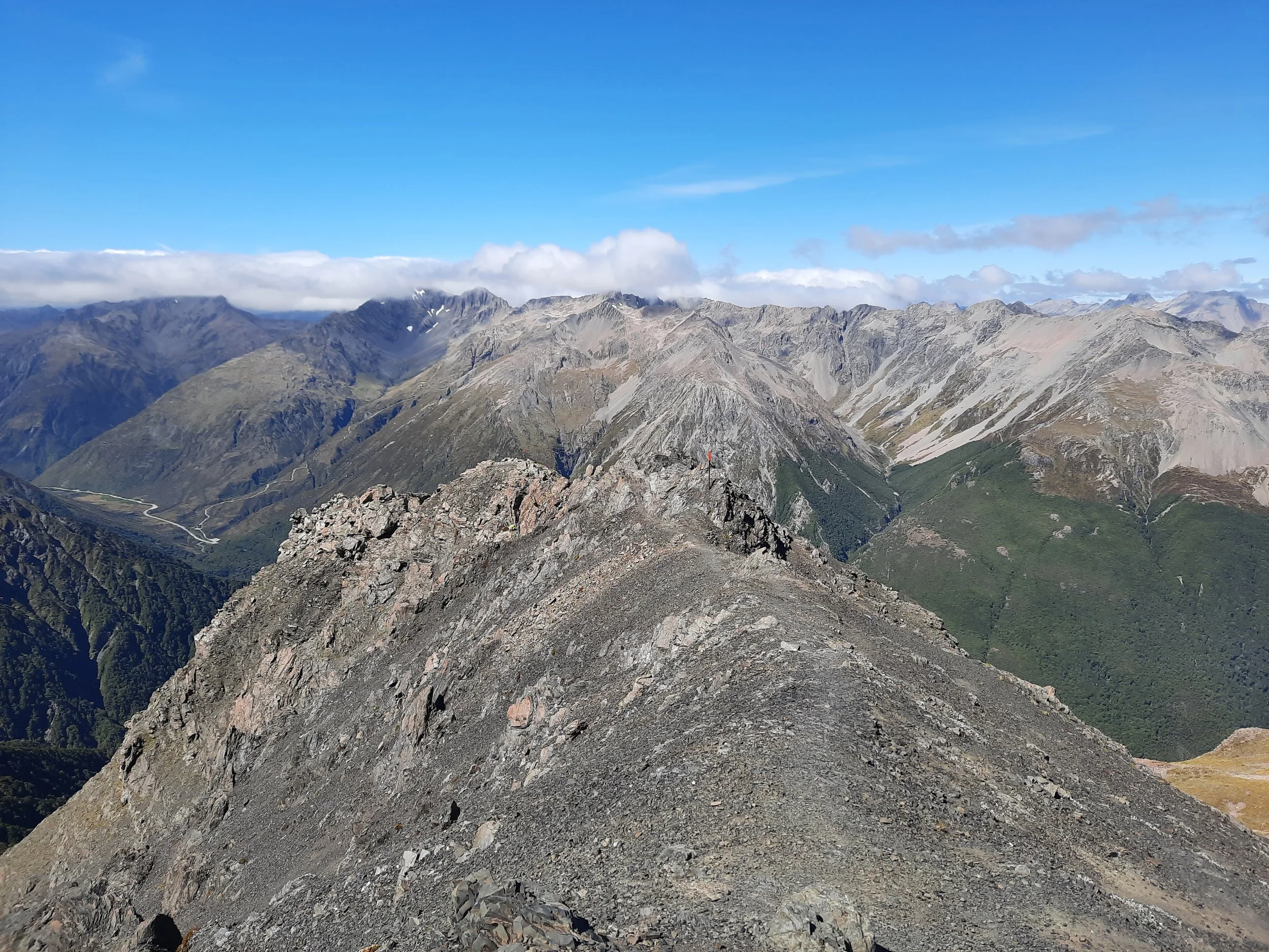
From Mt Bealey, I descended toward the first of the humps on the ridge. Of the various humps on the ridge, I climbed over some of them. Deeming others gendarmes, I sidled slowly along their western sides, or spent several minutes gingerly walking downhill and then past them on the huge scree slope below. It was slow and not so enjoyable. This section is indicated by the pair of cyan dots on the topomap screenschot.
To better appreciate this ridge, I highly recommend watching some of the videos linked below.
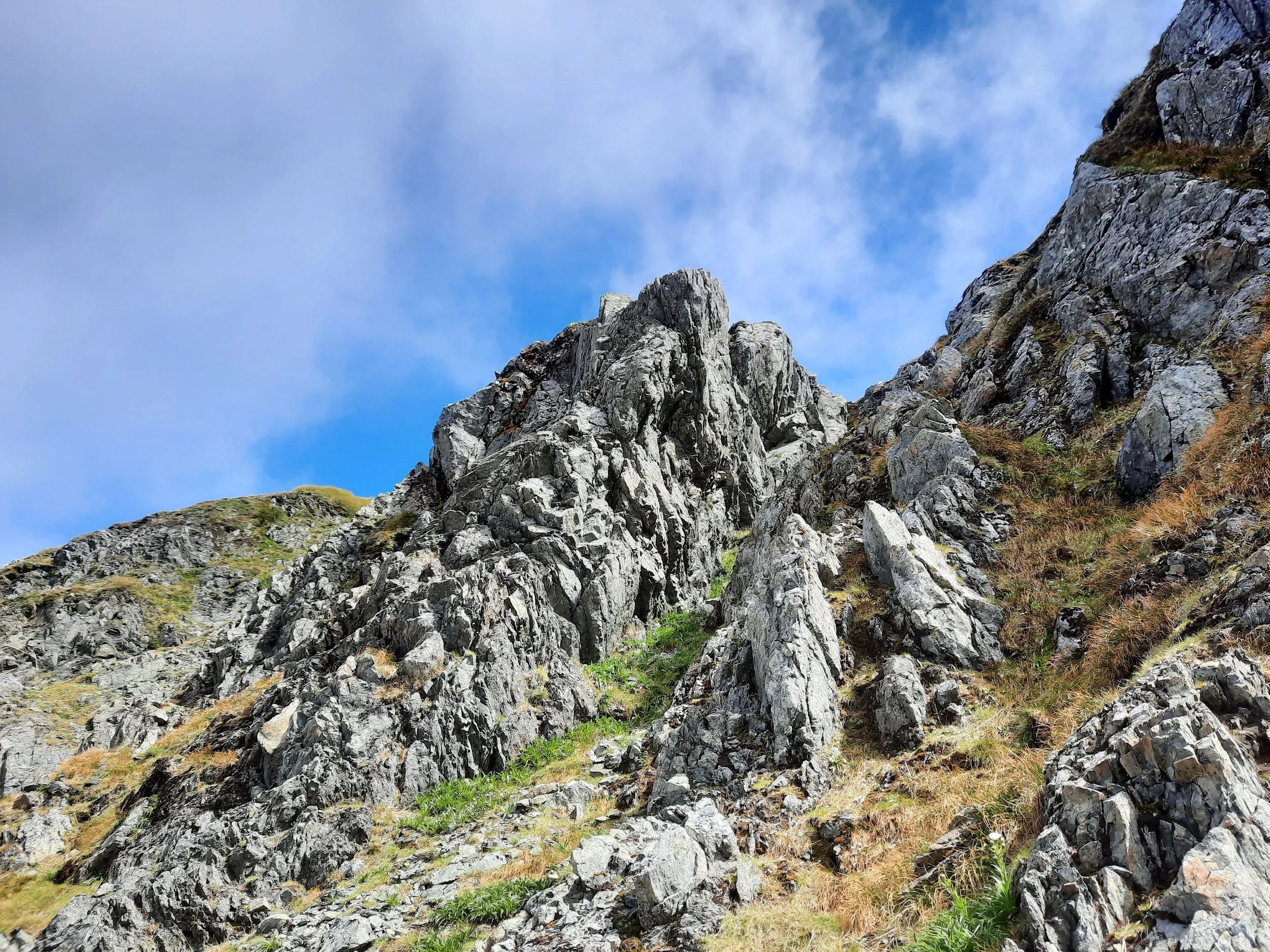
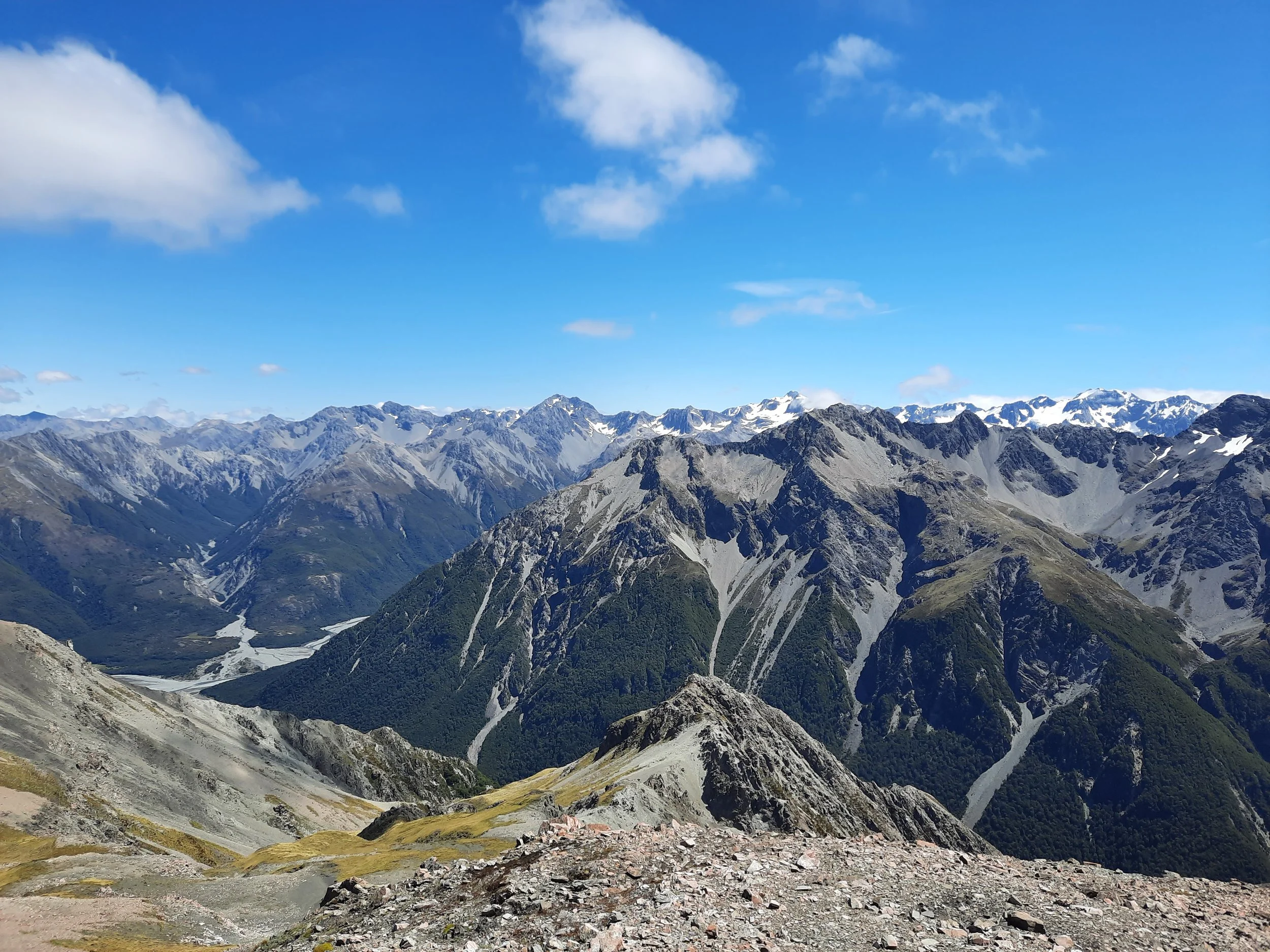
Near Point 1778, footing became easier. I didn’t slow to a crawl again until the rather steep slope below Avalanche Peak, where I looked at various options before ascending. My ascent was mostly on loose rocks, but also on a tussocky portion.
The ridge descending from Avalanche Peak takes caution, but not as much as the Mt Bealey - Point 1778 ridge. After that, it was a fairly easy descent until Avalanche Peak Track became steep in the forest, as mentioned above.
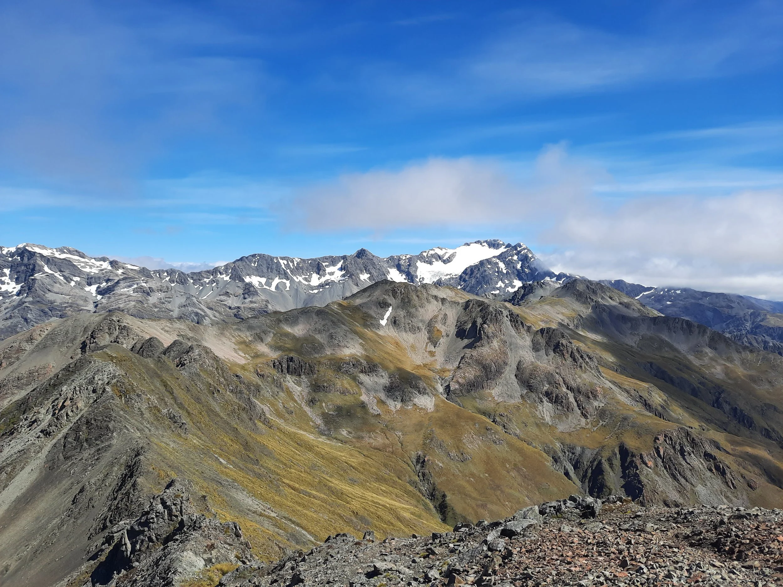
If 1 is an easy track, and 4 is using hands and feet on exposed rocks, I give this track a 4 for almost the entire Mt Bealey - Point 1778 ridge, as well as some of the ridge descending from Avalanche Peak. There is some pleasant 1 terrain between Lyell Peak and Avalanche Peak, but almost all the rest of this route is a 2 or 3.
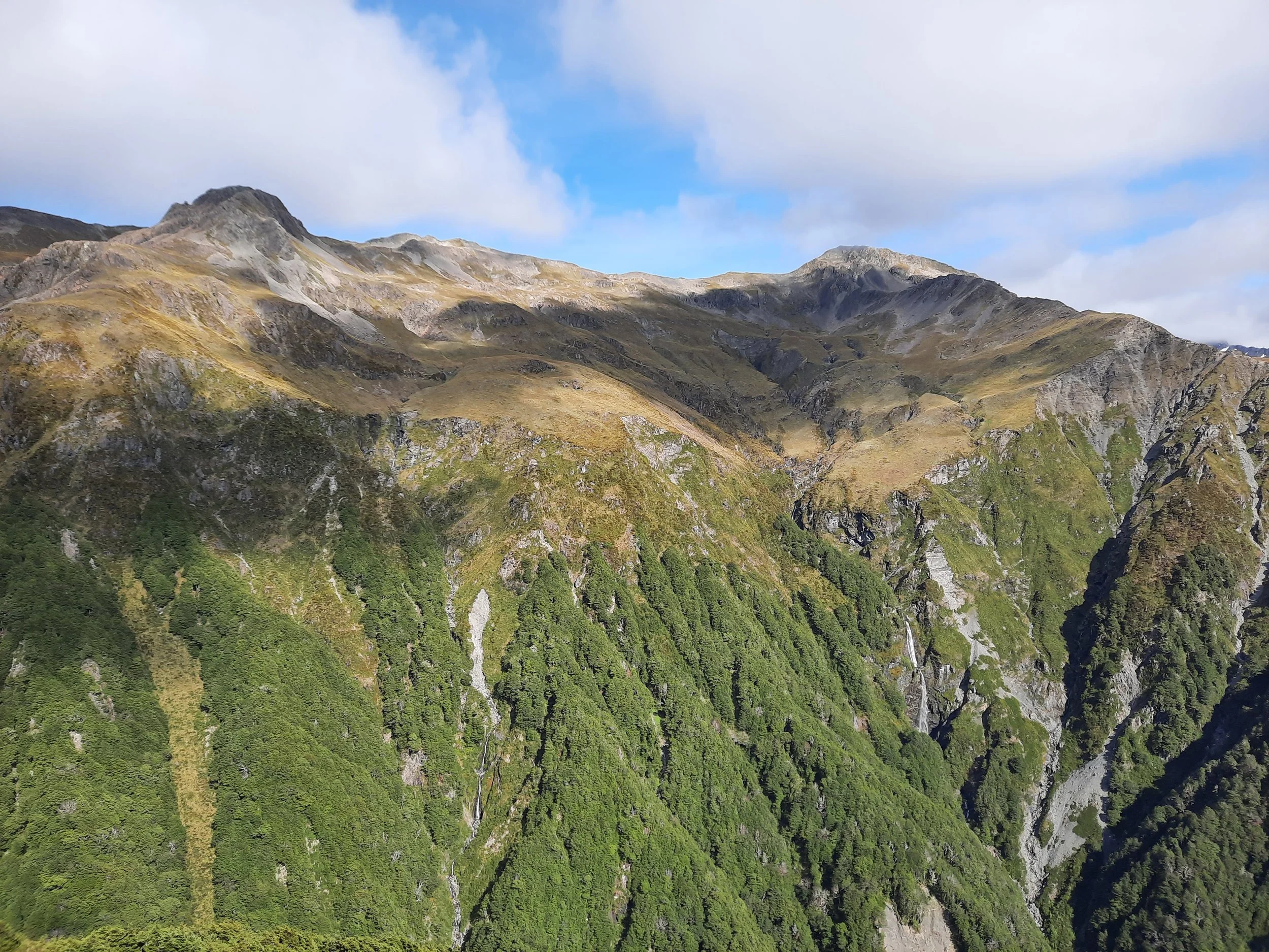

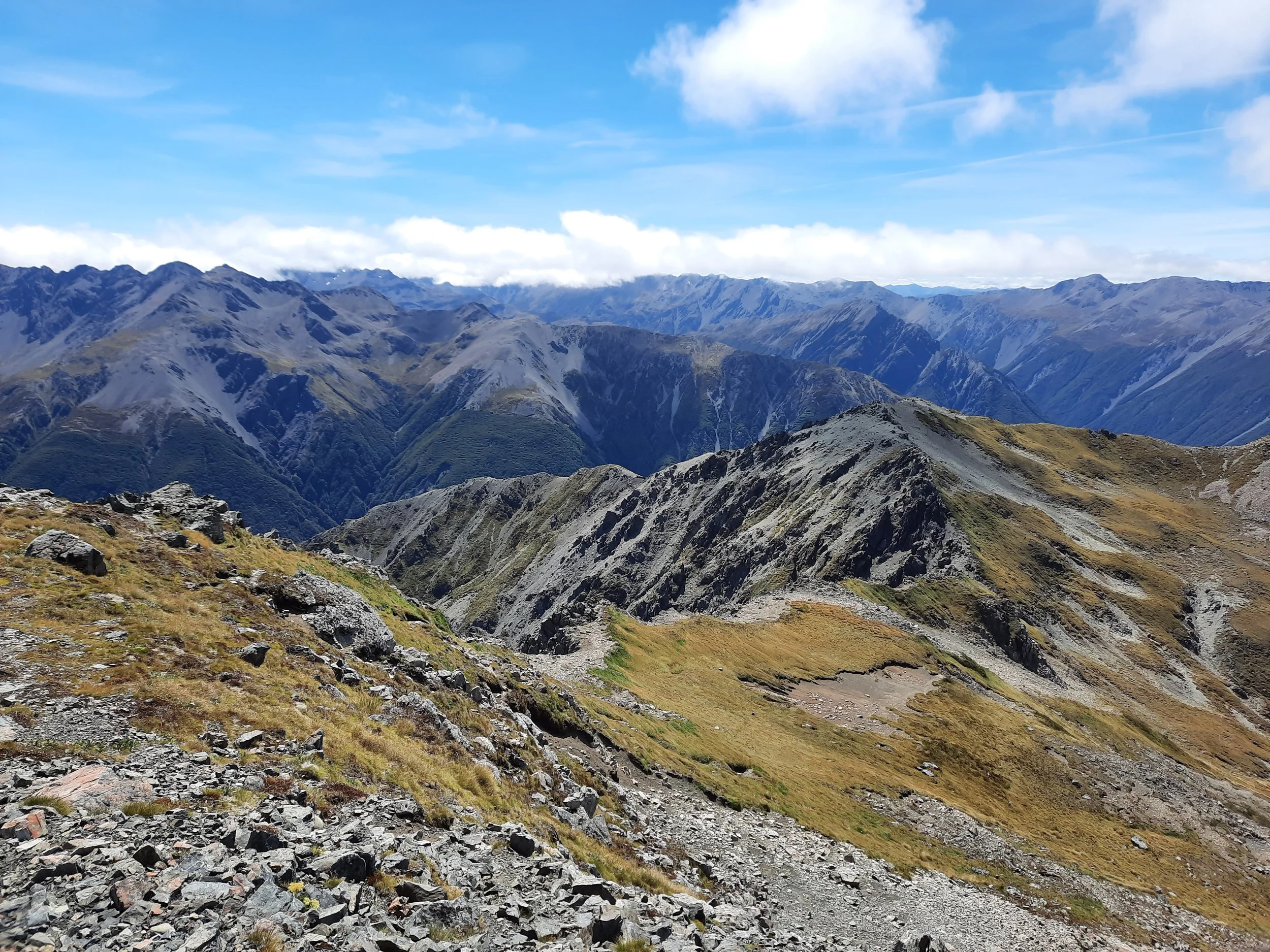

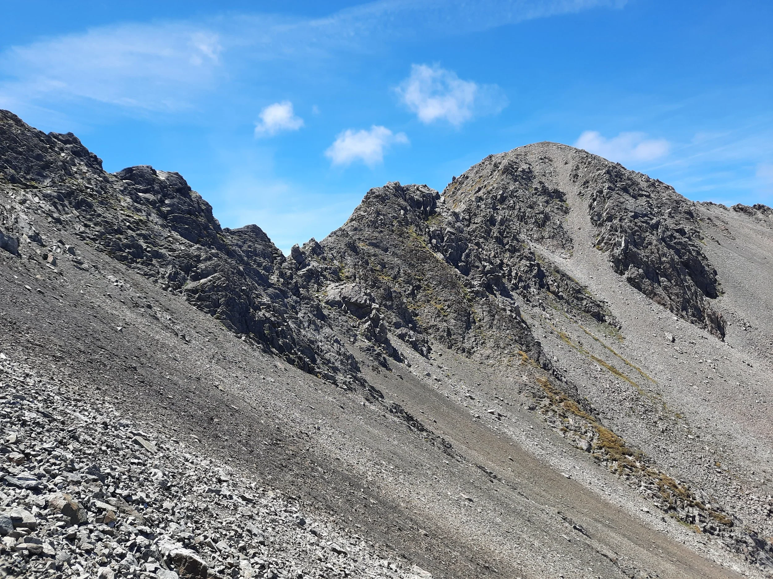


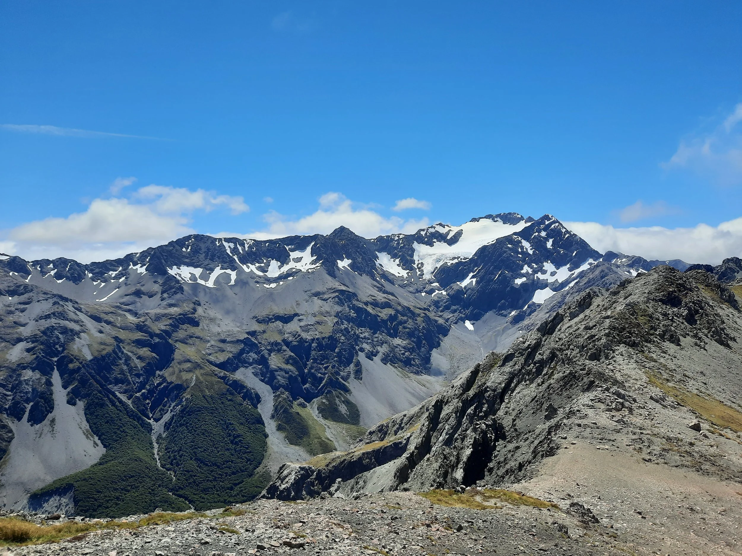


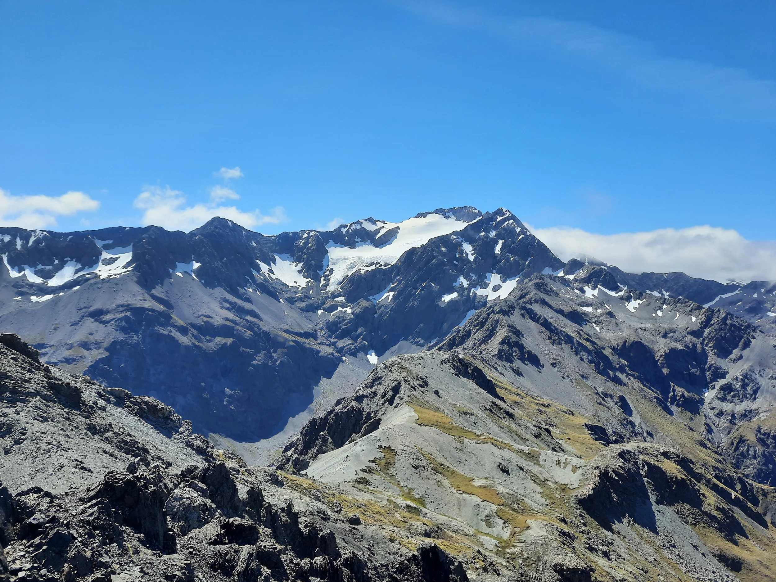
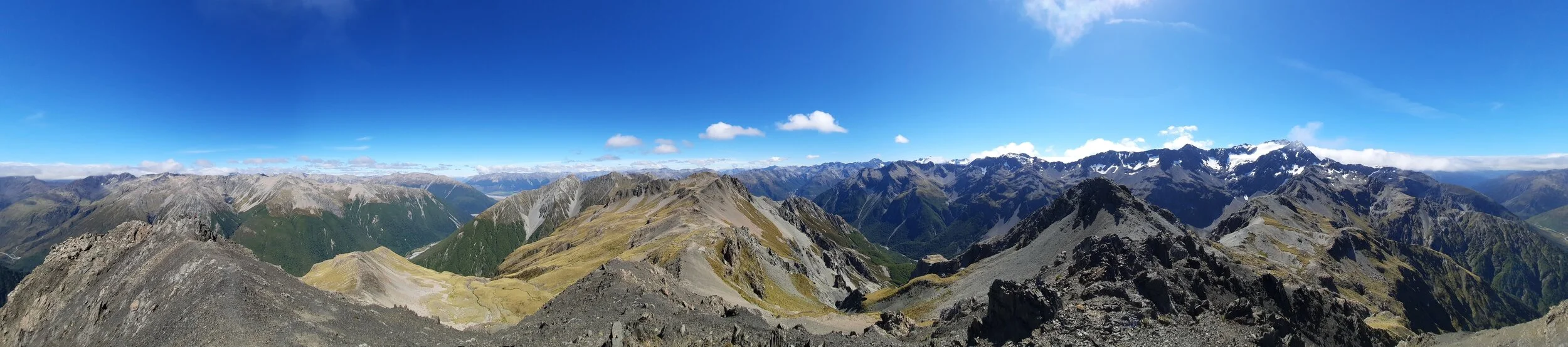
From Avalanche Peak. Descent route at left. Arrival route center-left. Mt Rolleston at right.
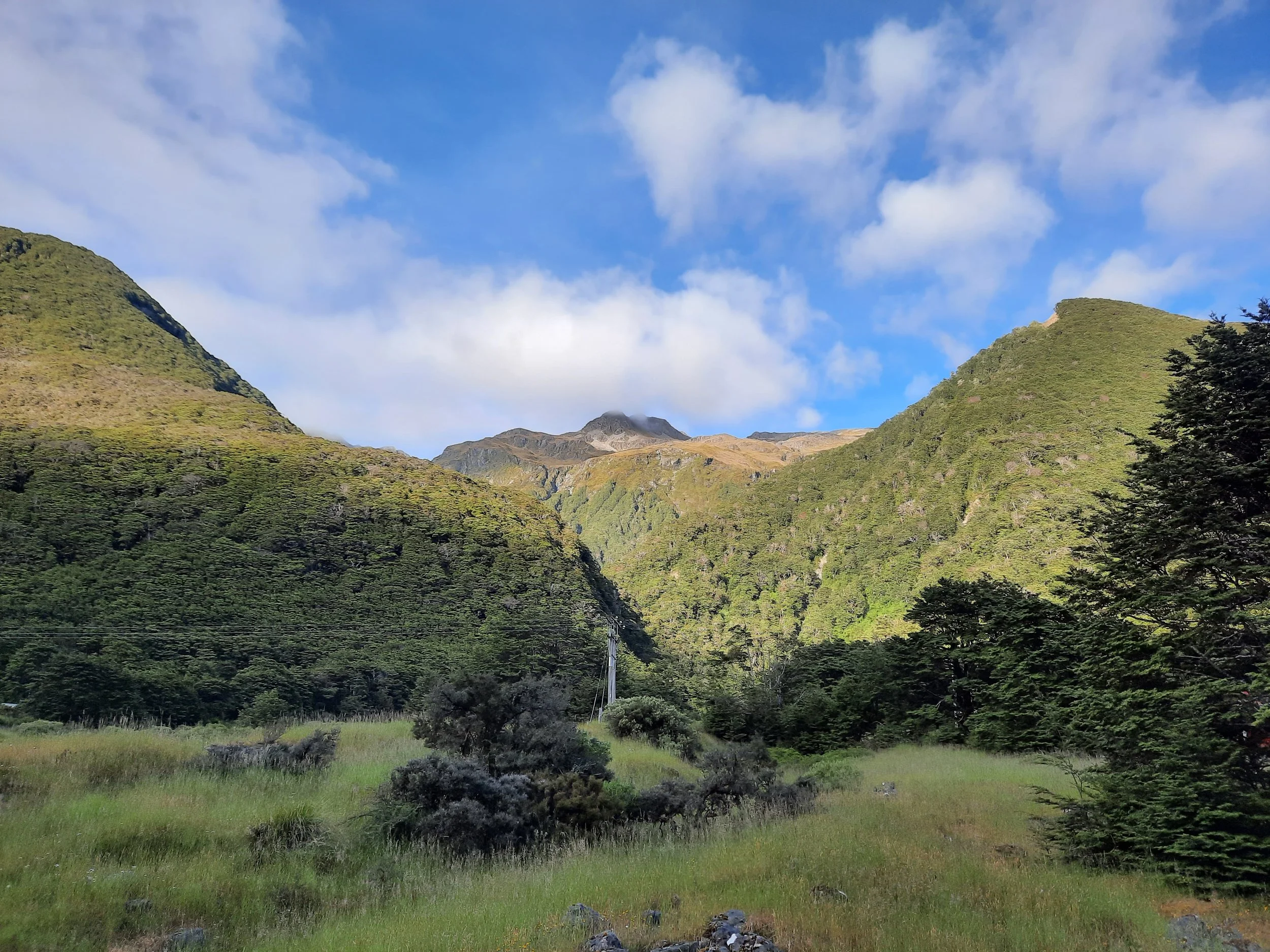
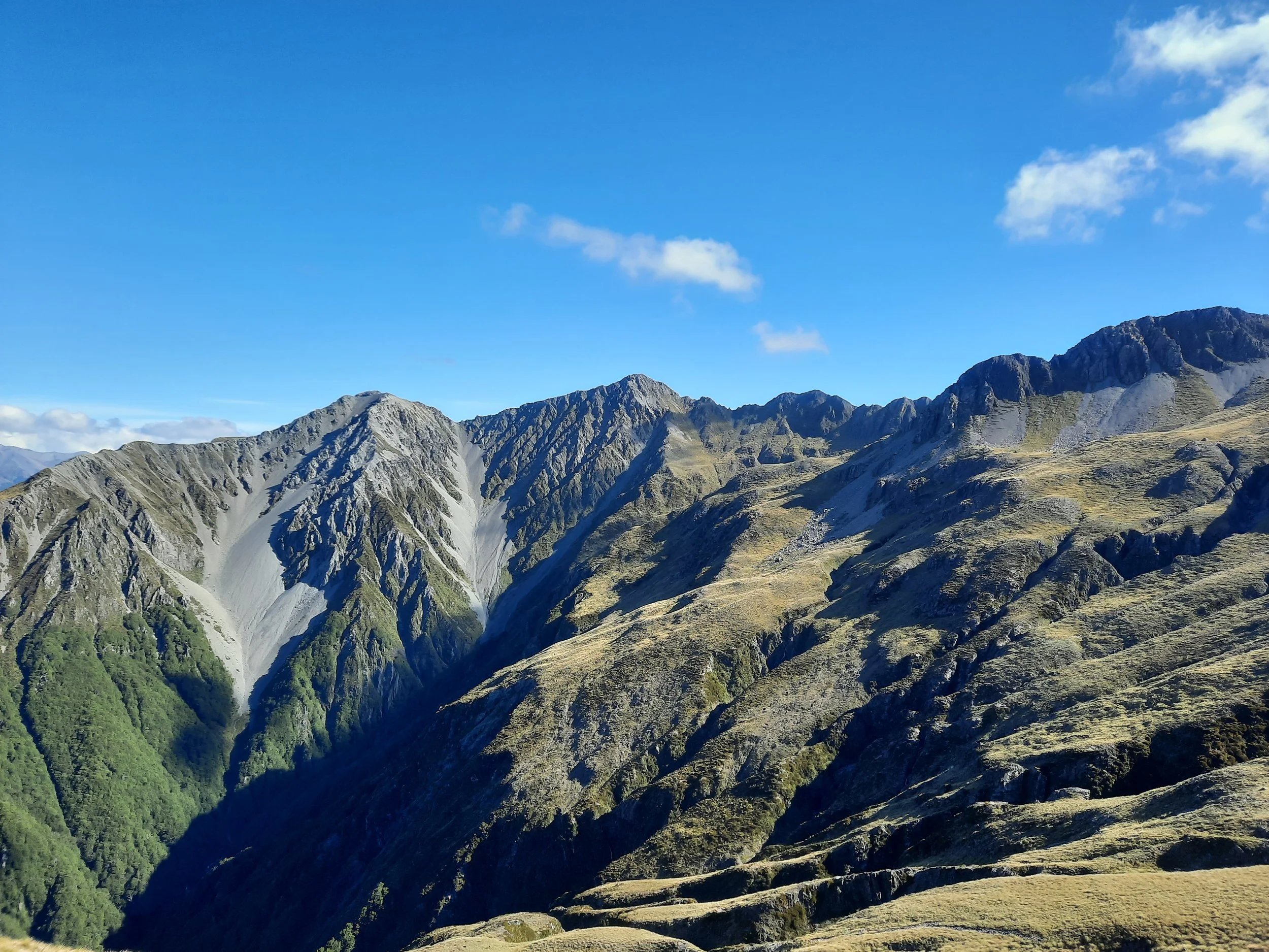
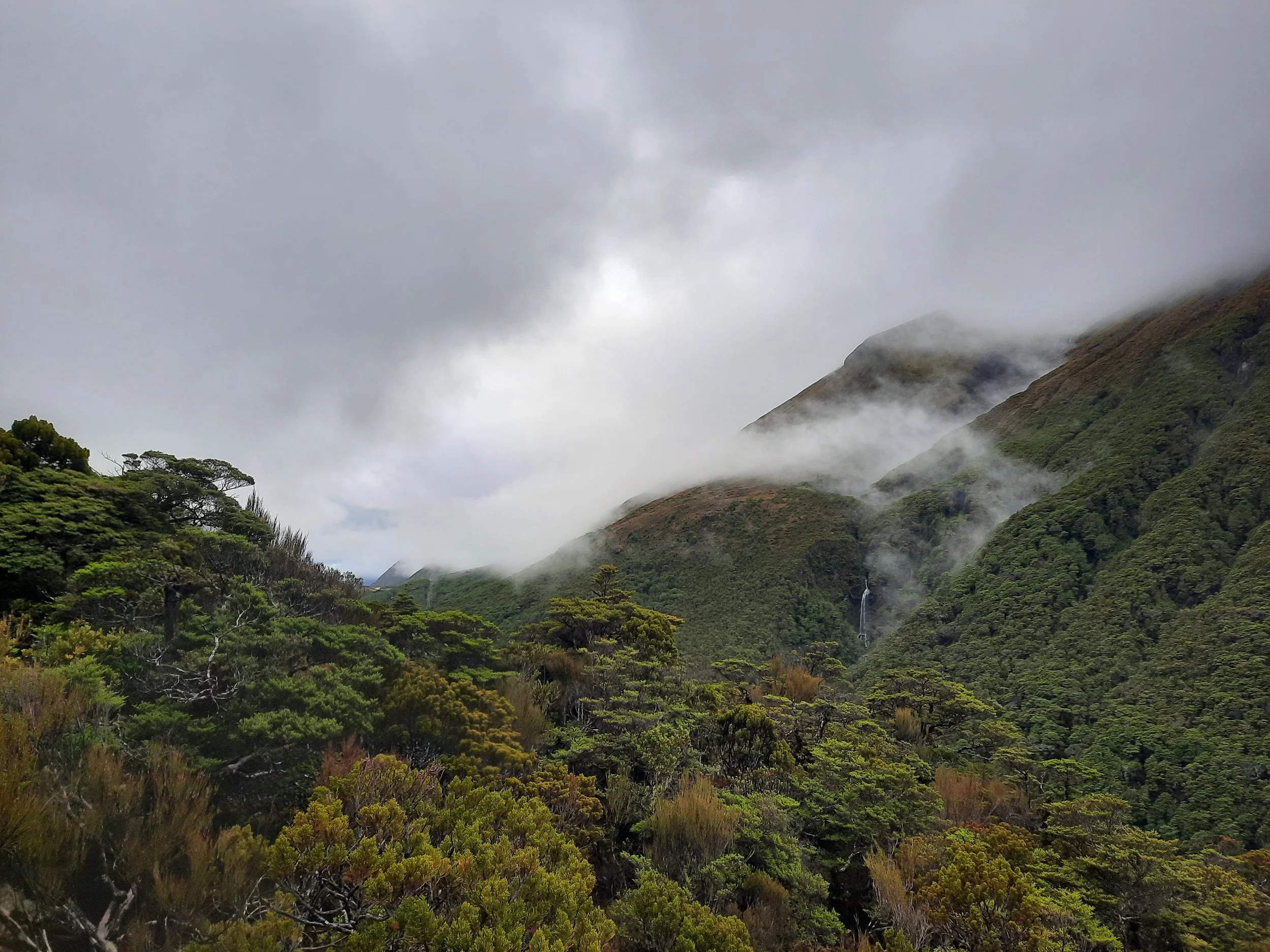
Bonus photos, from my separate hike of Avalanche Peak via Scotts Track


Hunting
The entire route is in a hunting area. Hunters are forbidden to “discharge firearms near tracks, huts, campsites, road-ends or any other public place.” I have hiked in more than 30 hunting areas, and only passed hunters twice - this wasn’t one of those hikes.
Here is the DOC topomap with all hunting areas visible.
Other pages about the Mt Bealey - Avalanche Peak traverse, via various routes
https://hikingisgood.com/mt-bealey-to-avalanche-peak-traverse/
https://ctc.org.nz/db/index.php/routes/showRouteMapping/721/Avalanche%20-%20Bealey%20traverse (descending scree gully instead of Mt Bealey Track)
https://vimeo.com/198014763 (focused on the difficult Mt Bealey - Point 1778 section)
https://www.youtube.com/watch?v=4b6CGDlotFA (also helpfully shows Mt Bealey ascent)
https://tramper.nz/5411/mt-bealey-lyell-peak-avalanche-peak-traverse/
https://www.southernalpsphotography.com/Tramping/Mt-Cook-to-Arthurs-Pass/Mount-Bealey-Avalanche-Peak/ (very different route)
Other pages about Mt Bealey
https://www.alltrails.com/trail/new-zealand/canterbury/mount-bealey-track
https://www.wildernessmag.co.nz/trip/mt-bealey-arthurs-pass-national-park/
Mt Bealey is not to be confused with Bealey Spur, a gentler hike which is across the Waimakariri River, south of the village.
Other pages about Avalanche Peak
https://hikingscenery.com/avalanche-peak-circuit-arthurs-pass-national-park/
https://www.alltrails.com/trail/new-zealand/canterbury/avalanche-peak-track-and-scotts-track-loop
Pages about the Cassidy-Blimit(-Temple Col) Traverse, on the other side of the valley
My remaining hike from the village: partial Mt Aicken
Pages about nearby day-hikes that I haven’t done
https://hikingscenery.com/mt-omalley-arthurs-pass/ & https://hikingisgood.com/mt-omalley-in-arthurs-pass/
https://hikingscenery.com/goat-hill-via-barrack-creek-route-arthurs-pass/
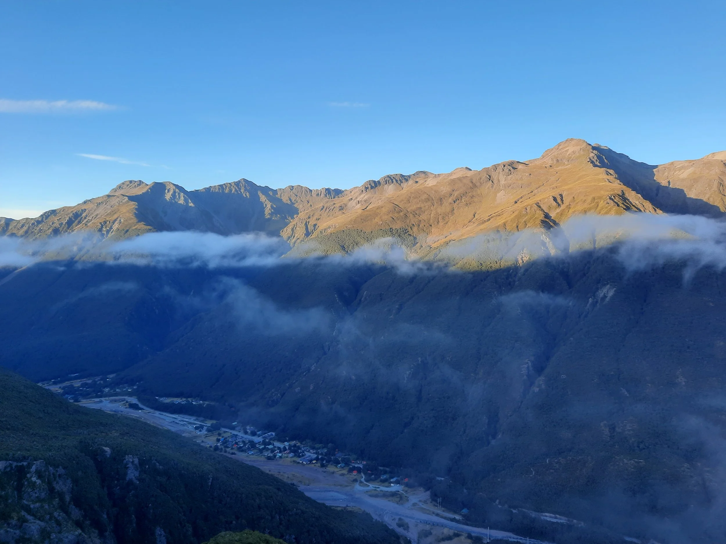
This hike seen from Mt Cassidy
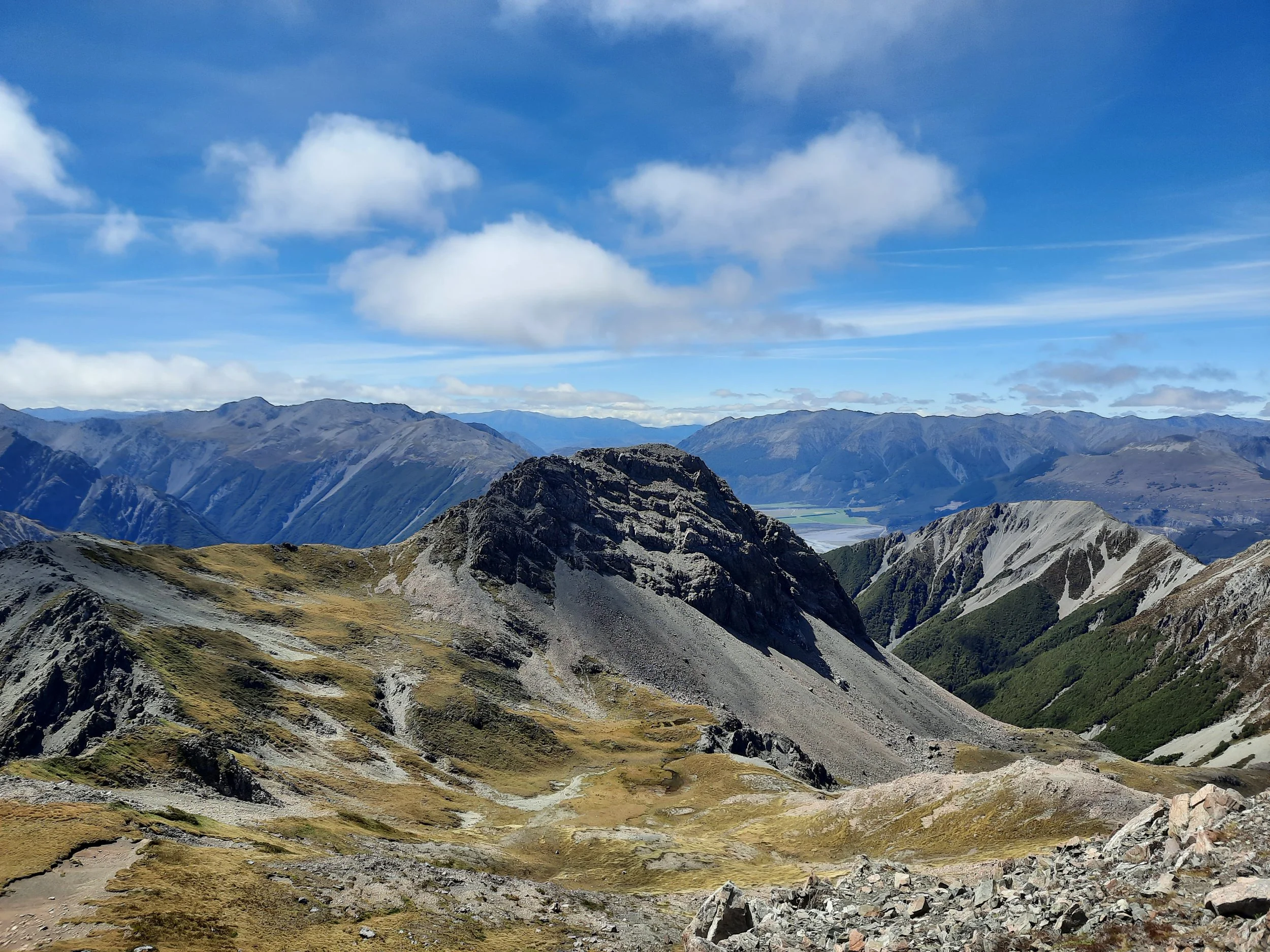
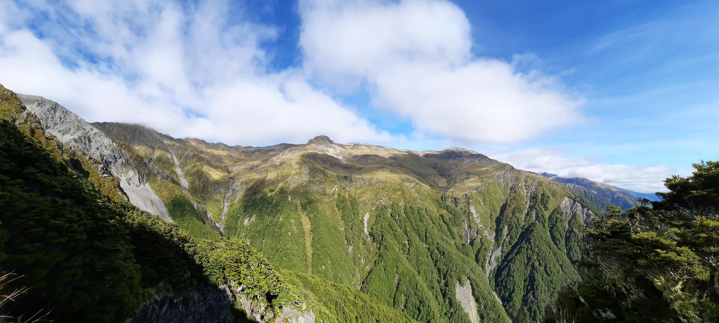
Avalanche Peak at right. Mt Bealey left, with pointed peak center-left.