Pt 1635 on Mt Burns, Borland area, Fiordland, NZ


Mt Burns (1645m) is a mountain next to Borland Road near Lake Monowai area of Fiordland, Southland, South Island. I took a medium-length hike to Point 1635, on the ridge not far from the summit, and back via a somewhat different route.
The trailhead at Borland Saddle is around 80 minutes by car from Tuatepere and 90 minutes from Te Anau. When I visited, the only nearby accommodation, Borland Lodge, is around 40 minutes away. Beyond the lodge, the road to the trailhead is somewhat rough.
Time
The hike took me around 6 hours 20 minutes, not including a false start where I had to return to my car because I had forgotten my trekking poles. It probably would have taken me another 20-40 minutes to reach the summit and return.
DOC reports that it takes around 45 minutes out-and-back to the tarns alone, while AllTrails users report an average of 57 minutes.
Route
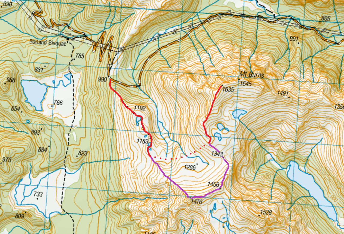
The dotted red line shows my outbound shortcut, while the solid purple line shows my return route (matching the AllTrails map).
Screenshots of the NZ topographic map are licensed as CC BY 4.0 by Toitū Te Whenua Land Information New Zealand (LINZ).
AllTrails reports that an out-and-back hike along both ridges is 915m elevation gain over 10.8km. I estimate that my hike was 2km shorter and 150m less elevation gain, because I took a shortcut on the outbound leg.
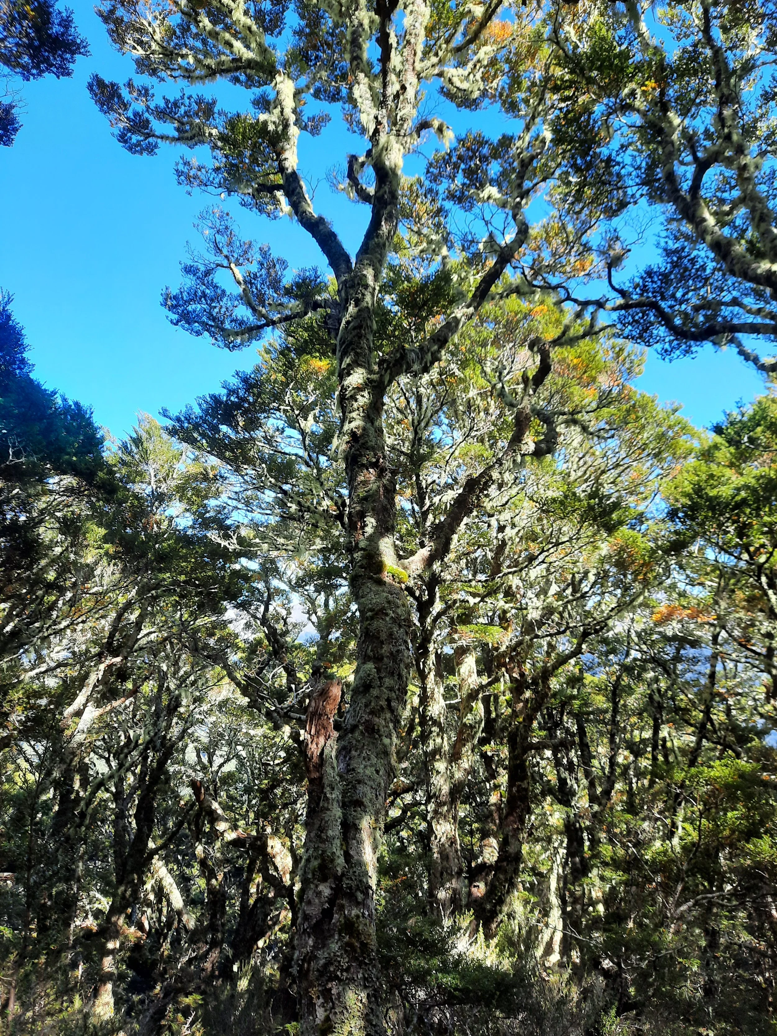
At Borland Saddle on Borland Road, there is space for around 10 cars to park without blocking the road. Mt Burns Tarns Track starts in forest, which gives way to tussock in 10 minutes or so. Not long after entering the tussock, I met a returning hunter. Seeing him using one trekking pole reminded me I had forgotten my own, so I turned around to go get them from my rental car.
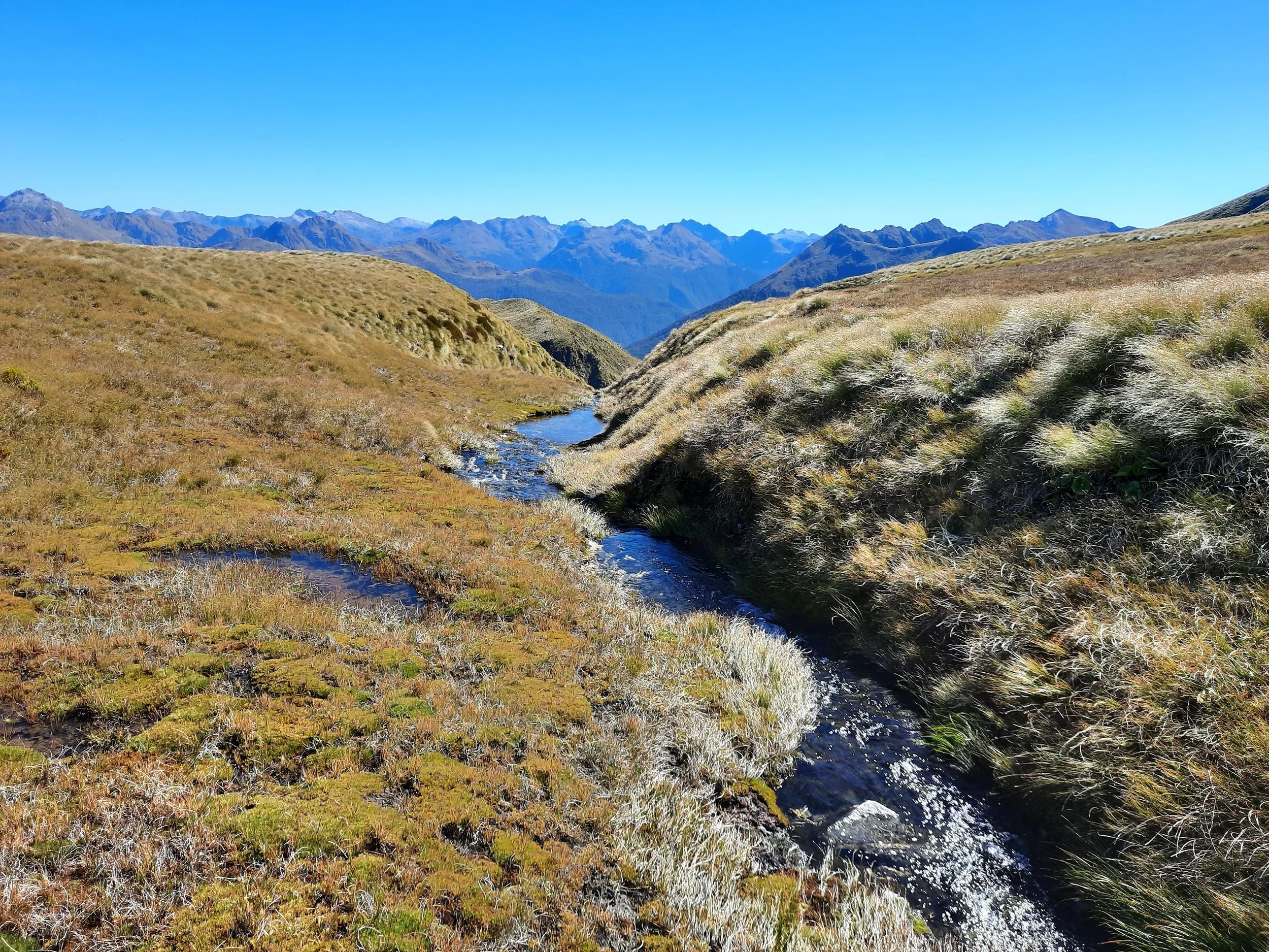
After regaining the previous position, I continued uphill to the tarns.
If I recall correctly, there are no orange marker poles beyond the tarns, but there is an impact track toward Point 1476. Point 1476 is on the curling lower ridge which approaches the upper ridge (site of the summit).
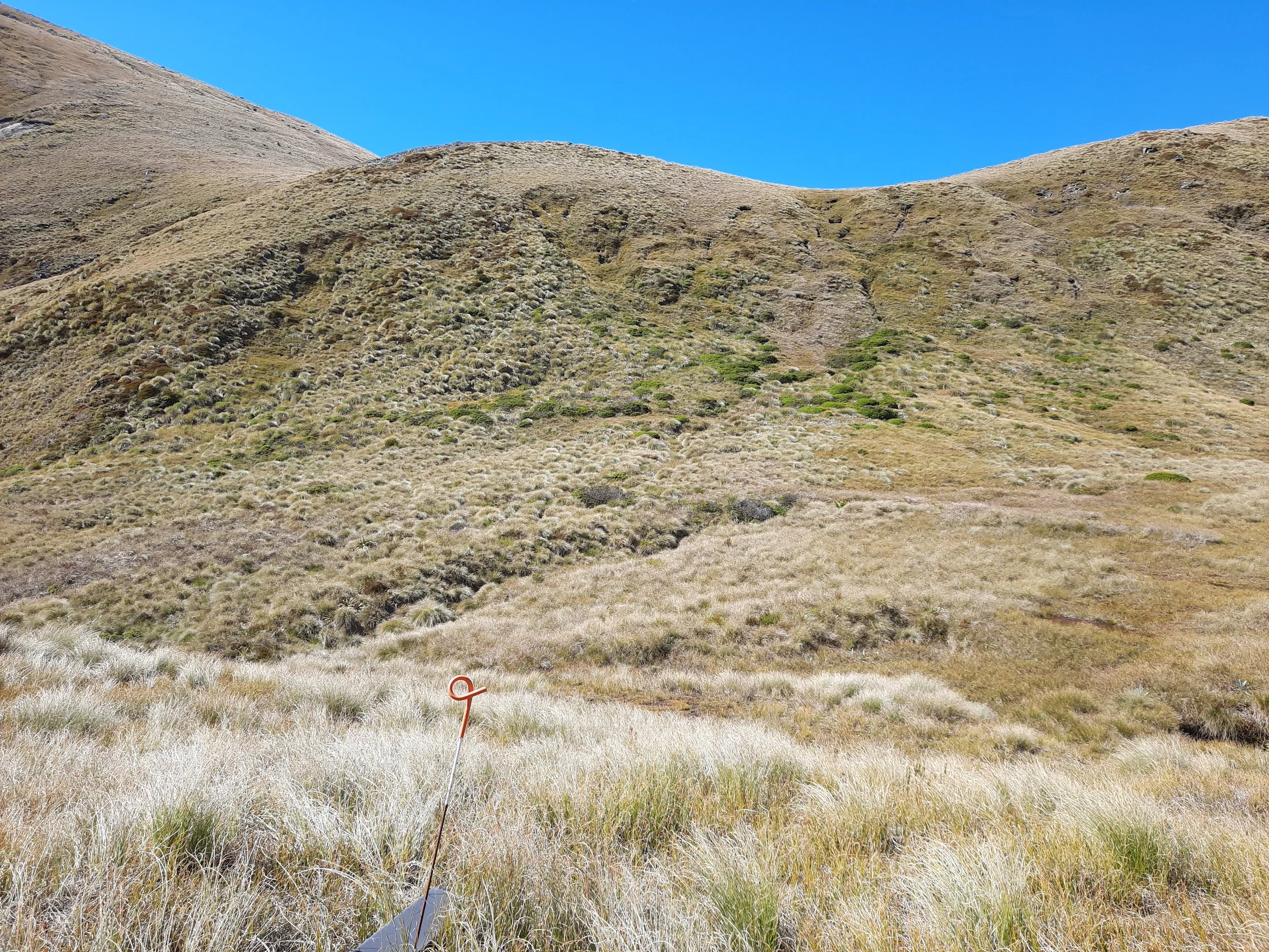
Instead of following the impact track, I diverged left through the tussock in a shortcut toward the ridge leading to Mt Burns. Occasionally I found what seemed like a faint impact track, possibly influenced by the presence of pest traps. It was a mix of mostly flat, gently sloping, and one steep uphill section. All of this was tussock-dominated. The steep uphill part was the slowest part of this hike. The red dots on the topomap screenshot are only a rough guide.
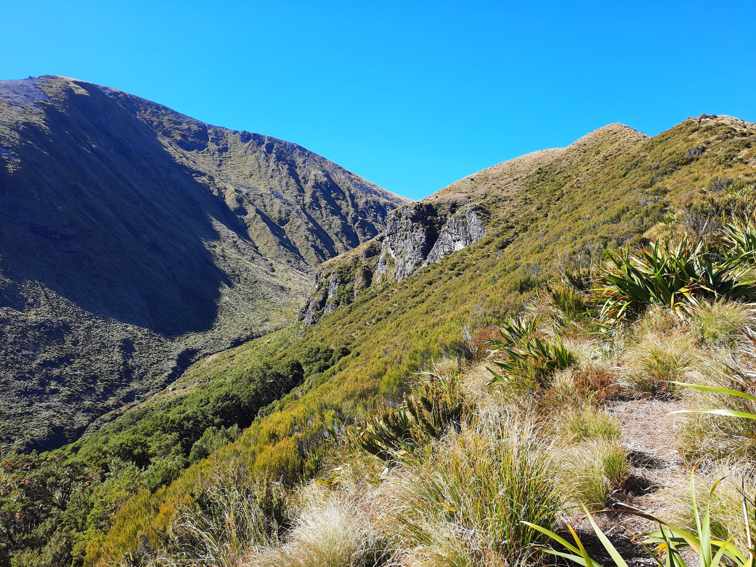
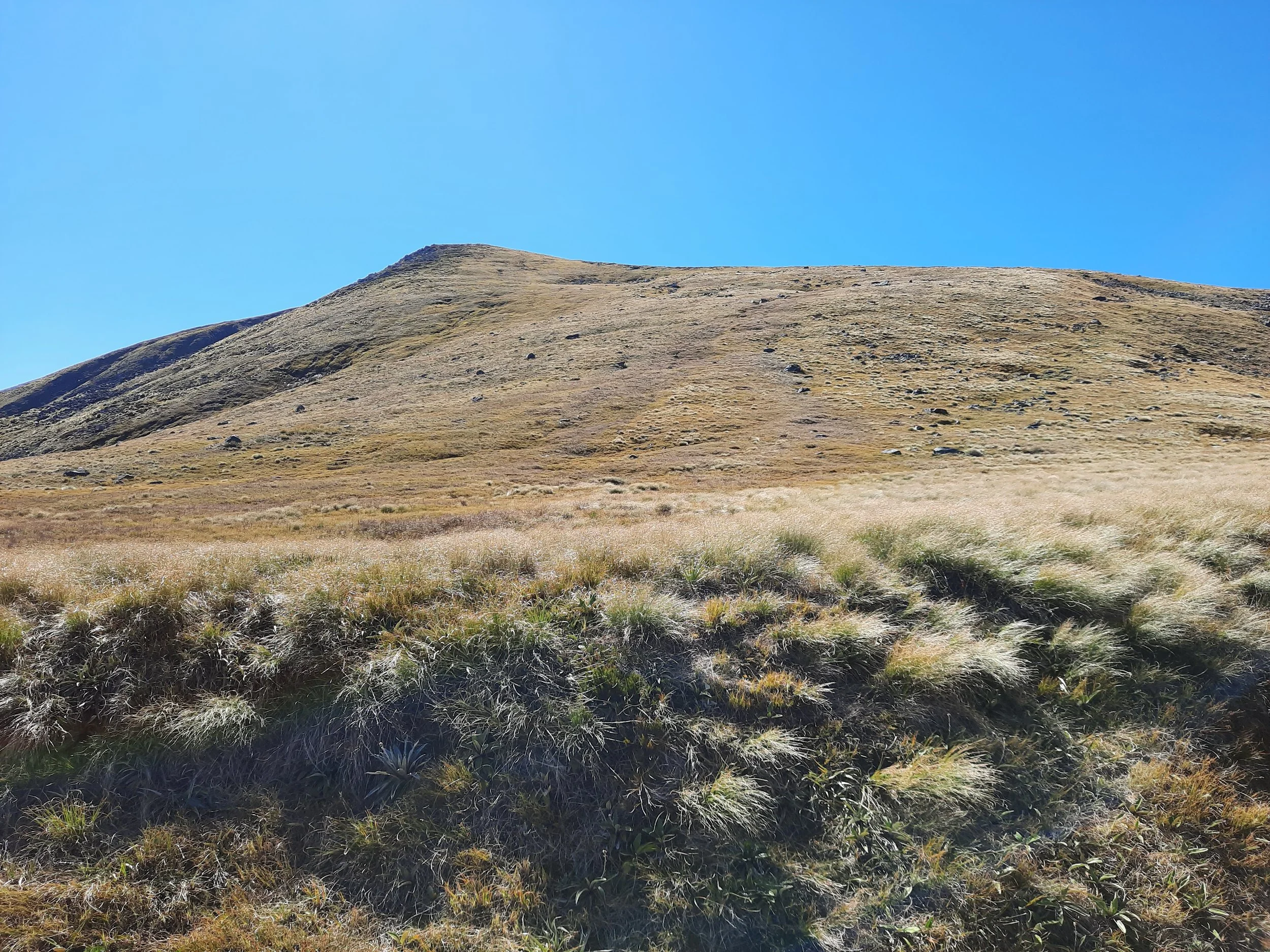
Once at the saddle between the two ridges, I ascended toward Point 1635. Vegetation quickly became thin, so it was easy to walk regardless of whether I could spot an impact track. The ridge becomes rocky and somewhat difficult shortly before Point 1635, but it is not as exposed as some Southern Alps rocky ridges are. For example, rocky ridges in Arthur’s Pass are more exposed.
Once at Point 1635, I rested. Here I decided to turn around because I was somewhat sick that week, and didn’t want to expend more energy on the ridge, only to reach a summit with a similar view to the place where I was sitting. Another motivation was probably the 30 minutes I wasted at the beginning of the hike, retrieving my forgotten trekking poles from the car.
Descending the ridge, I decided to follow it across the saddle, part Point 1343, and ascend again. This was a little tiring but fairly easy. Descending from Point 1476 was somewhat steep, and was the most important place to have trekking poles. The steepest part of this descent is shown in the 4th-to-last and 3rd-to-last photos in the gallery below. In retrospect, I should have descended either side of this, rather than walk straight down.
After that, I was back at the tarns mentioned above.
If 1 is an easy track, and 4 is using hands and feet on exposed rocks, I give this hike a 3 at worst.


Point 1473 rises beyond one of the largest tarns.
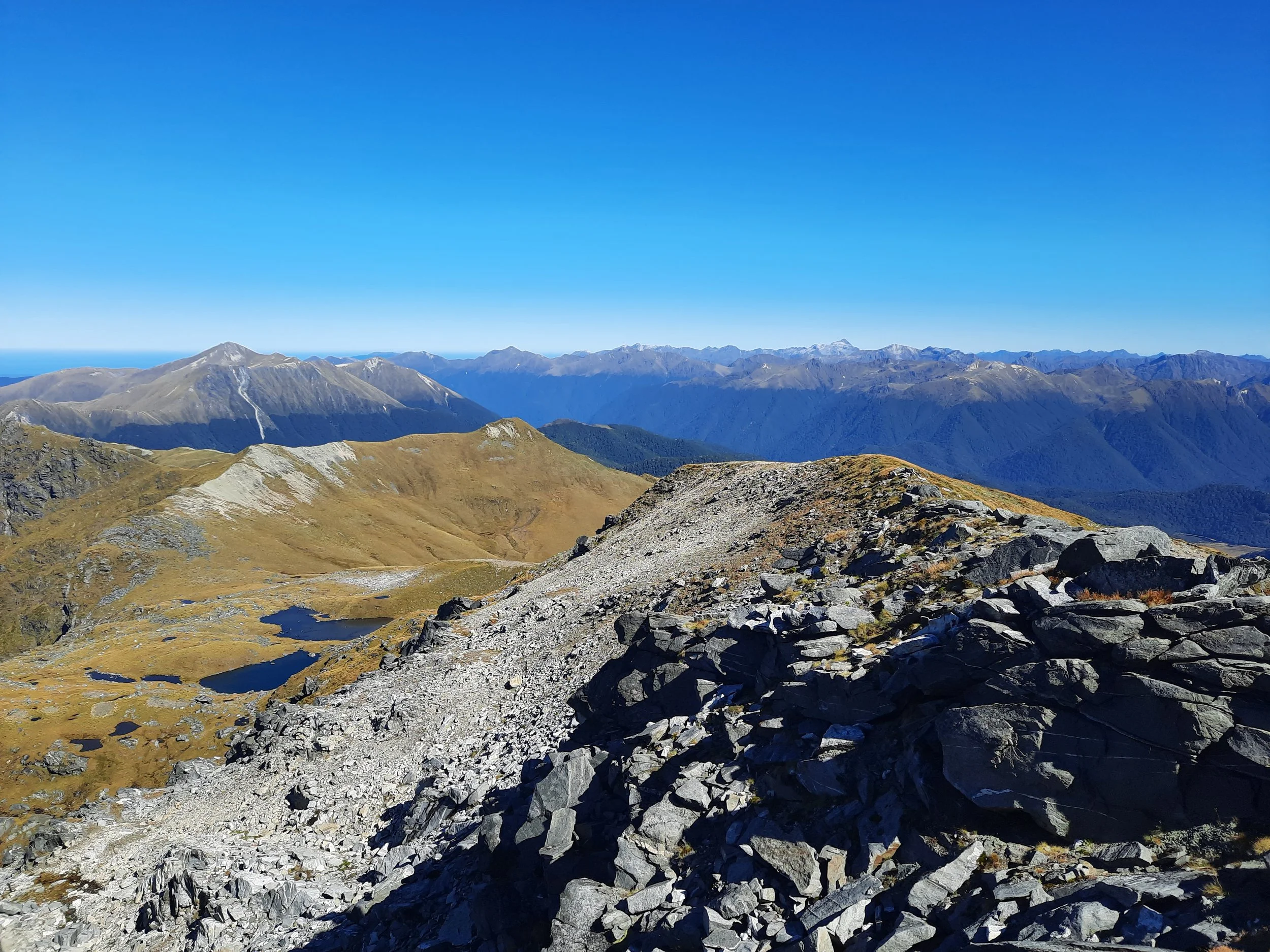
Panorama from Point 1635.
Panorama from Point 1473.
South Island robin, or kakaruwai.
Hunting
The entire route is in a hunting area. Hunters are forbidden to “discharge firearms near tracks, huts, campsites, road-ends or any other public place.” I have hiked in more than 30 hunting areas, and this hike was one of the three hikes where I’ve passed a hunter.
Here is the DOC topomap with all hunting areas visible.