Hiking in Shikoku & Kyūshū, JP

The Inland Sea from Yashima, Shikoku.
This page’s first hike is on the smallest major island, Shikoku. The last three are on the southwestern island, Kyūshū. There are also two standalone pages on more interesting Kyūshū hikes:
Yashima, Takamatsu, Kagawa Pref, Shikoku
I visited Takamatsu for one night mainly because I wanted to make a first visit to Shikoku, before doing more interesting things elsewhere. Hiking on Yashima was the best thing I could find in the city. (The second best thing was exploring Japan’s longest covered walkway, or shōtengai, starting a few blocks from Takamatsu Station. This sort of shopping street is an old favorite of mine.)
Among Buddhists, the island is known for a pilgrimage to 88 temples that ring the island. Yashima is the site of Yashima Temple (#84). The peninsula was once the site of a Taira fortress and thus the Battle of Yashima, one of the final battles in the Genpei civil war, when the Taira lost the throne to their rivals/relatives.
I started at the southern/southwestern trailhead (there are others), walked uphill to the castle ruins and temple, continued north to the northern lookout, returned to the temple area for lunch in the restaurant, and descended the same route. This short hike took around 4 hours 40 minutes because my breaks included a sit-down meal and a visit to temple #84. It was one of my most pleasant hikes in Japan, partly because it was rarely steep and partly because, unlikely most of my Japanese hikes, there was no mist or rain.


Mt Tsurumi (Tsurumi-dake), Beppu, Ōita Pref, Kyūshū
The city of Beppu is known as a hot springs resort. I came for the highest mountain overlooking it, Mt Tsurumi, and the slightly higher mountain beyond that, Mt Yufu (Yufu-dake). Both are active volcanoes. I chose to hike Mt Tsurumi one day and visit a monkey park, then walk back to Beppu along the coast, on the other day, rather than do both hikes. One or two locals told me Mt Yufu was the better hike.
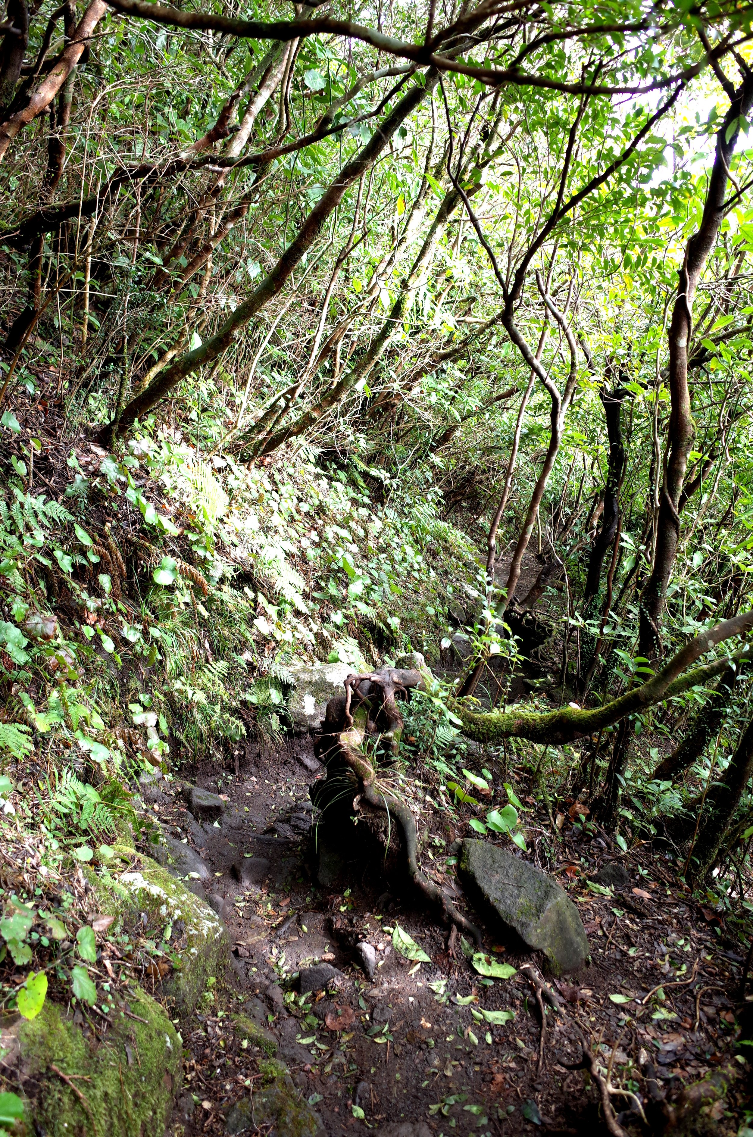
I took a bus from the west side of Beppu train station to this Torii (Gate) bus stop. The actual gray stone torii is on the opposite (north) side of the road, and leads to a shrine. After crossing the road to this torii, I walked west a few minutes along the inter-city road before turning onto a quiet winding road up to the trailhead. The quiet winding road had a different stone torii at its foot, probably because it is a back entrance to the shrine.
From the second torii to the summit there were various turns, first on stone paths and then on the somewhat rough, slightly muddy trail. Despite the mist, I didn’t make a wrong turn, because I had a map app and there were a number of signs in English. But I think a wrong turn is plausible, so I tried to include a lot of photos useful for navigation.
In photo 14, you can see a fork with two routes to the summit. I’m guessing I went left, but I’m not sure. Near the summit, I reached a paved path and encountered cable car ascenders. A few minutes below the summit, I paid for a one-way ticket and took the cable car down. We escaped the cloud, and I got my only decent views of the hike. Then I caught a bus back to Beppu train station from outside the cable car lower station.
There was a periodic booming noise from the valley, which I suspect was heavy vehicles going over a bridge. I mention this because a sign on the mountain warns you that strange sounds or smells could indicate an eruption is coming.


Mt Unzen (Unzen-dake), near Unzen, Shimabara Peninsula, Nagasaki Pref, Kyūshū
This volcano erupted repeatedly in the first half of the 1990s, during Japan’s Heisei Era. The lava dome that formed during these eruptions is Heisei-shinzan, in which shin means ‘new’ and -zan (-san) means ‘mountain’. Heisei-shinzan is the highest peak, but hikers are warned not to approach beyond the viewpoint known as Muhyozawa, due to volcanic gas and the risk of rockfall/landslides. Hikers therefore typically aim for the lower, older peak, Fugen. See map.
During my February hike, the Kun-dani trail on the north face was icy, so I kept to the southern trail, which led directly to Fugen Peak. The trails make a loop near the west face of the lava dome. More info: AllTrails.
It is possible to walk from the town of Unzen to the Nita Pass trailhead along mostly pleasant trails and sidewalks, but it takes a long time. Maybe 90 minutes. There was a taxi, but no bus.
Mt Unzen is dangerous. A pyroclastic flow killed 43 people in 1991. A 1792 eruption had worse consequences, according to Wikipedia:
Out of an estimated total of 15,000 fatalities, around 5,000 are thought to have been killed by the landslide, around 5,000 by the tsunami across the bay in Higo Province [Kumamoto Pref.], and a further 5,000 by the tsunami returning to strike Shimabara.


Weather conditions weren’t good on my first attempt to reach Fugen Peak, so I turned back and hiked a nearby hill, Ya-dake (not pictured). Ya-dake can be seen on this tourist map of the whole peninsula.
Mt. Kaimon (Kaimon-dake), Ibusuki, Satsuma Peninsula, Kagoshima Pref., Kyūshū
This heavily forested volcano has not erupted in more than 1000 years.
I did a day-trip by train from Kagoshima City to the town of Ibusuki for this hike. There were only two plausible return trains, one of which was after dark, so I jogged down the mountain to make the earlier one. It is not a good trail for jogging.
The nearest shops selling something a hiker might find useful are a ten-minute walk to the east of Kaimon Station. The station is just one unstaffed platform, serving trains that go back and forth on a single track. To me, the neighborhood felt like 1950s Japan must have been.
More info: AllTrails.