Sugarloaf Pass, Glenorchy, NZ


Screenshots of the NZ topographic map are licensed as CC BY 4.0 by Toitū Te Whenua Land Information New Zealand (LINZ).
West of Glenorchy, Routeburn carpark is the trailhead for the multi-day Routeburn Great Walk. It is also the trailhead for a long day-hike to Sugarloaf Pass, and the hill rising just east of the pass.
This route can be the first or last portion of a longer circuit with the Lake Sylvan - Rockburn Track. The map shows almost all of the remainder of the circuit, in black.
Time
It took me about 7 hours 30 minutes round-trip, including 20 minutes round-trip on the Routeburn Track. This includes breaks.
Route
The parking lot is beside Routeburn Shelter. I was able to drive all the way along the unpaved Routeburn Road in a 2WD SUV. I have heard that rain worsens the road’s condition.
Routeburn Track is wide and well-maintained. After at most 10 minutes, there is a turnoff to the right for Sugarloaf Track. Sugarloaf Track is neither wide nor well-maintained. When I visited in spring, there were a few dozen fallen trees obstructing the path. The DOC webpage accurately warned about this. There are orange track markers. I lost them for a while as I approached Sugar Loaf Stream.
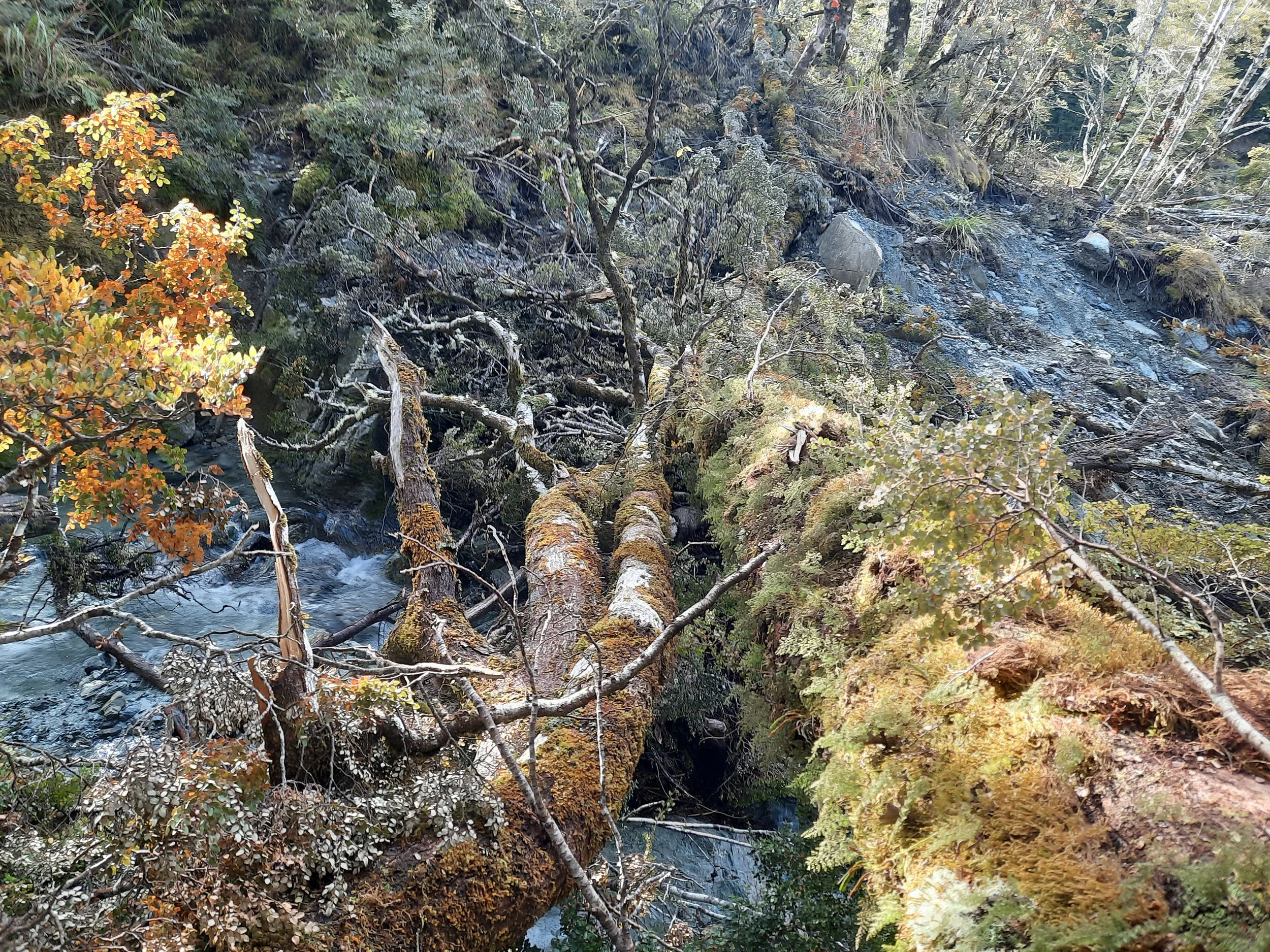
Two tall trees had fallen, in parallel, across Sugar Loaf Stream. Walking on one and grasping the other, I crossed adventurously. A normal stream crossing would have been safer. Compare the two photos below.
There was a fair amount of mud above treeline, in the 100 meters in elevation approaching the pass. It was not too hard to walk on tussock and other plants beside the mud.
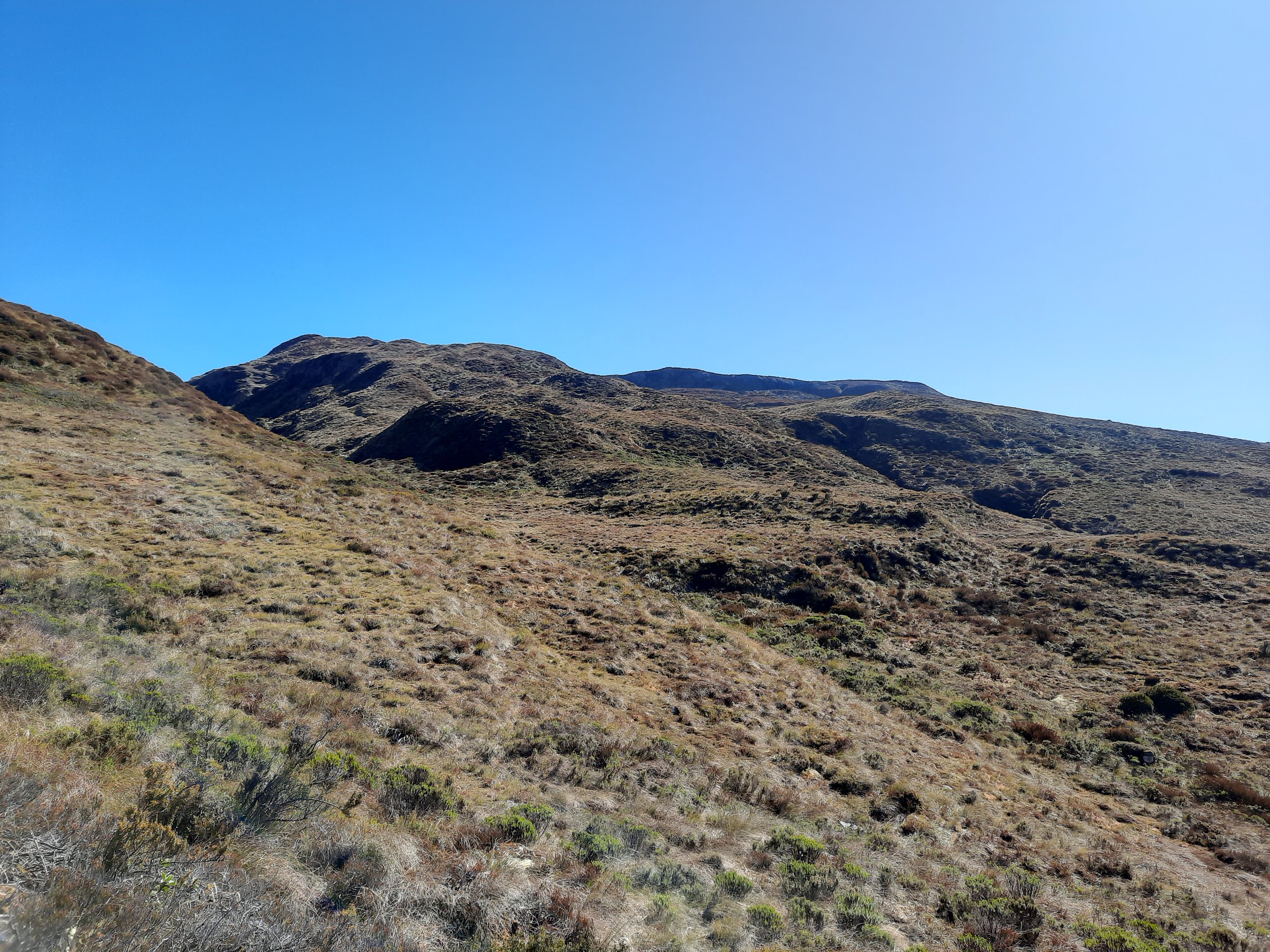
The Pass is unremarkable, so I climbed the hill to the east of it. There is no impact track on this hill - I checked with a local hunter whom I passed. I stopped at the knoll beside the first tarn, at perhaps 1280 meters of elevation.
I did not see any path to the Sugar Loaf itself. It looks like climbers’ terrain only. By contrast, I imagine that I could have reached Point 1428 on the other side of the pass. It is shown in the middle ground of the Humboldt Mountains photo, below.
If 1 is an easy track, and 4 is using hands and feet on exposed rocks, I give this track a 3. The short Routeburn Track segment is a 1.


Hunting
The majority of the route (the upper part) is in a hunting area. Hunters are forbidden to “discharge firearms near tracks, huts, campsites, road-ends or any other public place.”
I have hiked in more than 30 hunting areas, and only passed hunters twice. As mentioned above, this was one of those hikes. The hunter was using a crossbow, not a rifle.
Here is the DOC topomap with all hunting areas visible.
Other pages about this hike
Photos of this hike, taken from elsewhere
https://www.chrisgarden.com/wp-content/uploads/2021/02/F-Knob-East-labelled-01.jpg
from this blog post: https://www.chrisgarden.com/tramping/f-knob-august-2020-2/