Summit Walkway: Hilltop to Mt Sinclair, Banks Peninsula, NZ


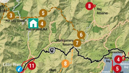
My route started at the brown 7, and continued past the brown 6, about halfway to the brown 5.
Copyright Rod Donald Banks Peninsula Trust (https://www.bankspeninsulawalks.co.nz/wp-content/themes/banks-peninsula-walks/images/maps/Banks-Peninsula-July-2022.jpg). All rights reserved. Used with permission.
The Summit Walkway is a multi-day route on Banks Peninsula (Horomaka), which is just south of Christchurch, Canterbury, South Island. I have done two sections as day-hikes:
One was a short section of the walkway on my long Mt Herbert circuit, between Mt Herbert and Mt Bradley. I did this from Diamond Harbour.
This page is about a medium-length stretch that I did out-and-back, starting from Hilltop / Montgomery Scenic Reserve and turning around on the slopes of Mt Sinclair. I did this from Akaroa village.
DOC reports that “Tracks east of Port Levy saddle beyond Rod Donald Hut are closed [for lambing] from 1 September to 25 October.” That seems to include this section.
Time
DOC estimates that it’s 6 hours one-way from Rod Donald Hut to Hilltop Tavern. So they might estimate this portion at 2 hours 30-45 minutes one-way.

Screenshots of the NZ topographic map are licensed as CC BY 4.0 by Toitū Te Whenua Land Information New Zealand (LINZ).
Including breaks, it took me around 6 hours round-trip to Mt Sinclair. The beginning portion, Montgomery Scenic Reserve, was around 2 hours round-trip.
Route
I parked at the lookout point beside Hilltop Tavern, which was closed that day (and is being refurbished at the time of writing). There might not be enough space for hikers to park if the tavern is full of patrons who drove there. However, since hikers usually arrive earlier in the day than diners, this is probably not important.
From the tavern, I crossed a fence at a stile and followed a marked route through hill pasture for a few minutes, then crossed Summit Road. DOC reports that cars can park beside the road, but there wasn’t much space. I was happy to have left my rental car in a proper parking lot.
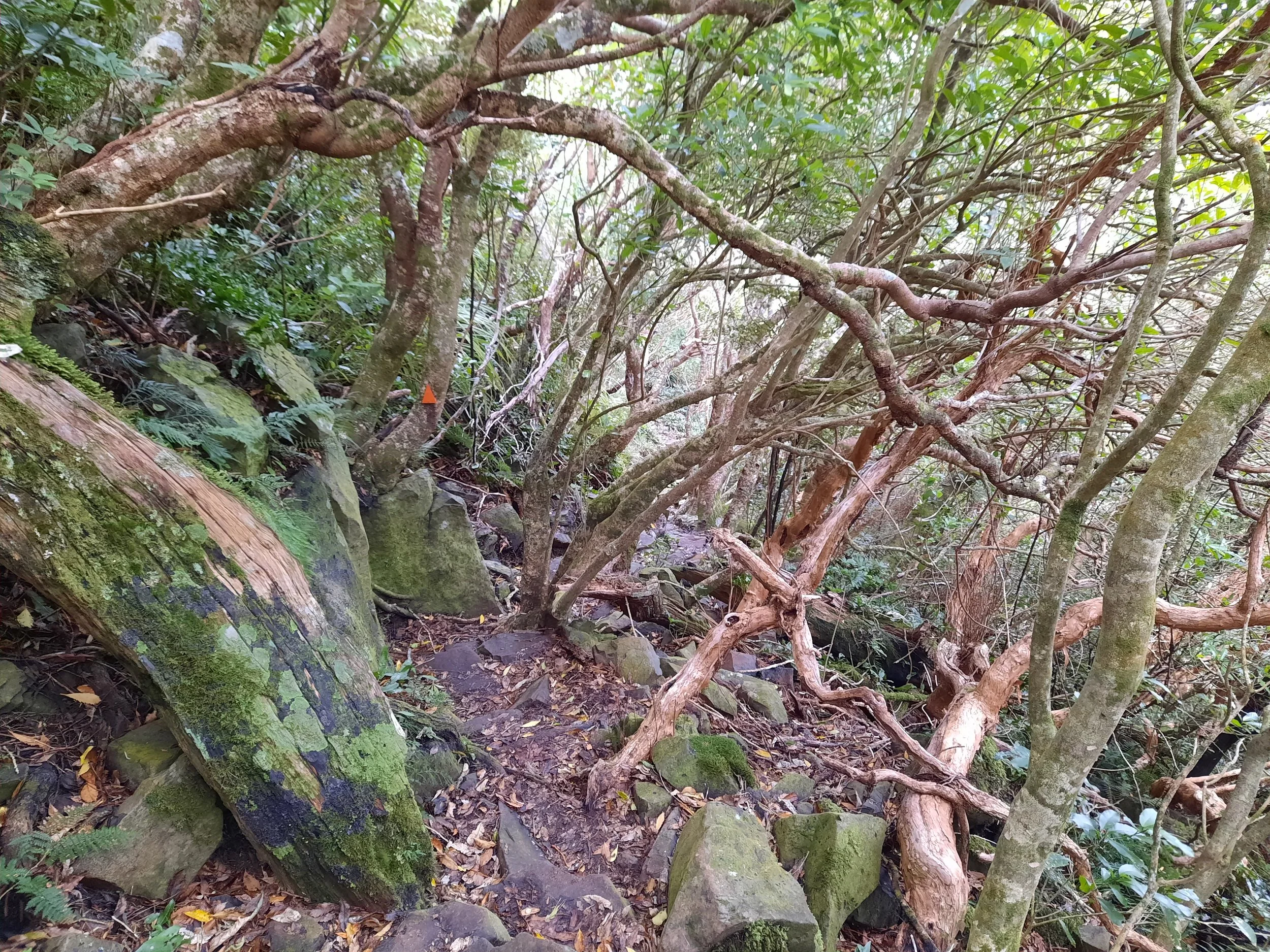
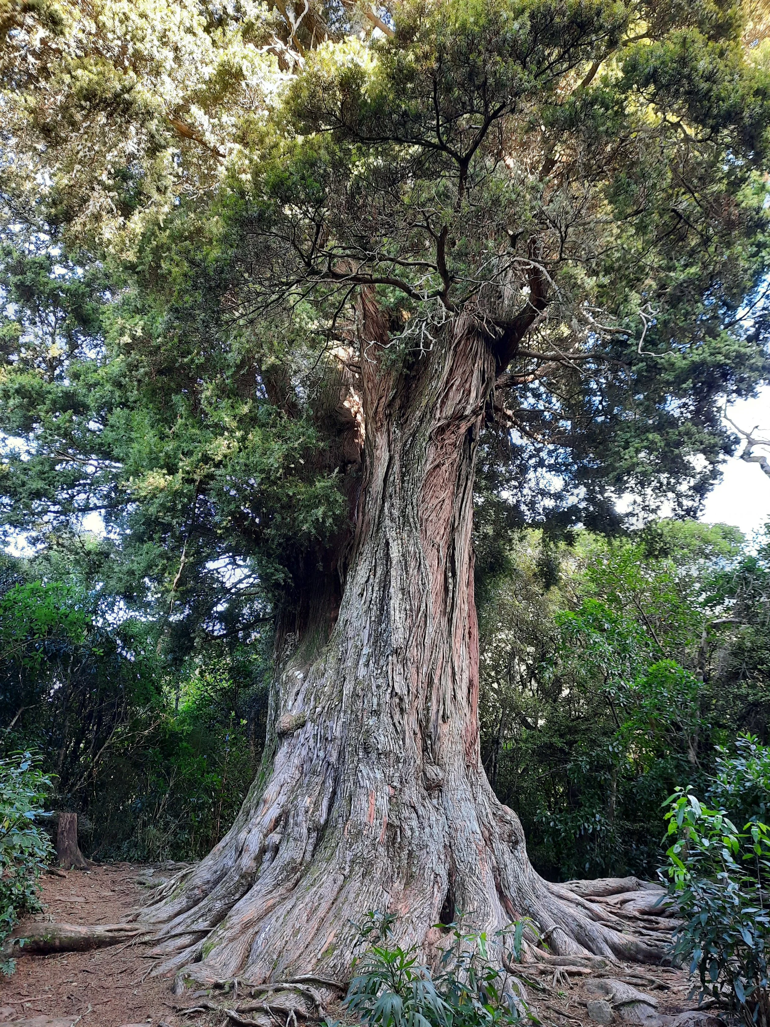
Then I entered Montgomery Scenic Reserve. The steep forest and rough track were challenging both while ascending and while descending. The Peninsula looks so tame, so it came as a surprise.
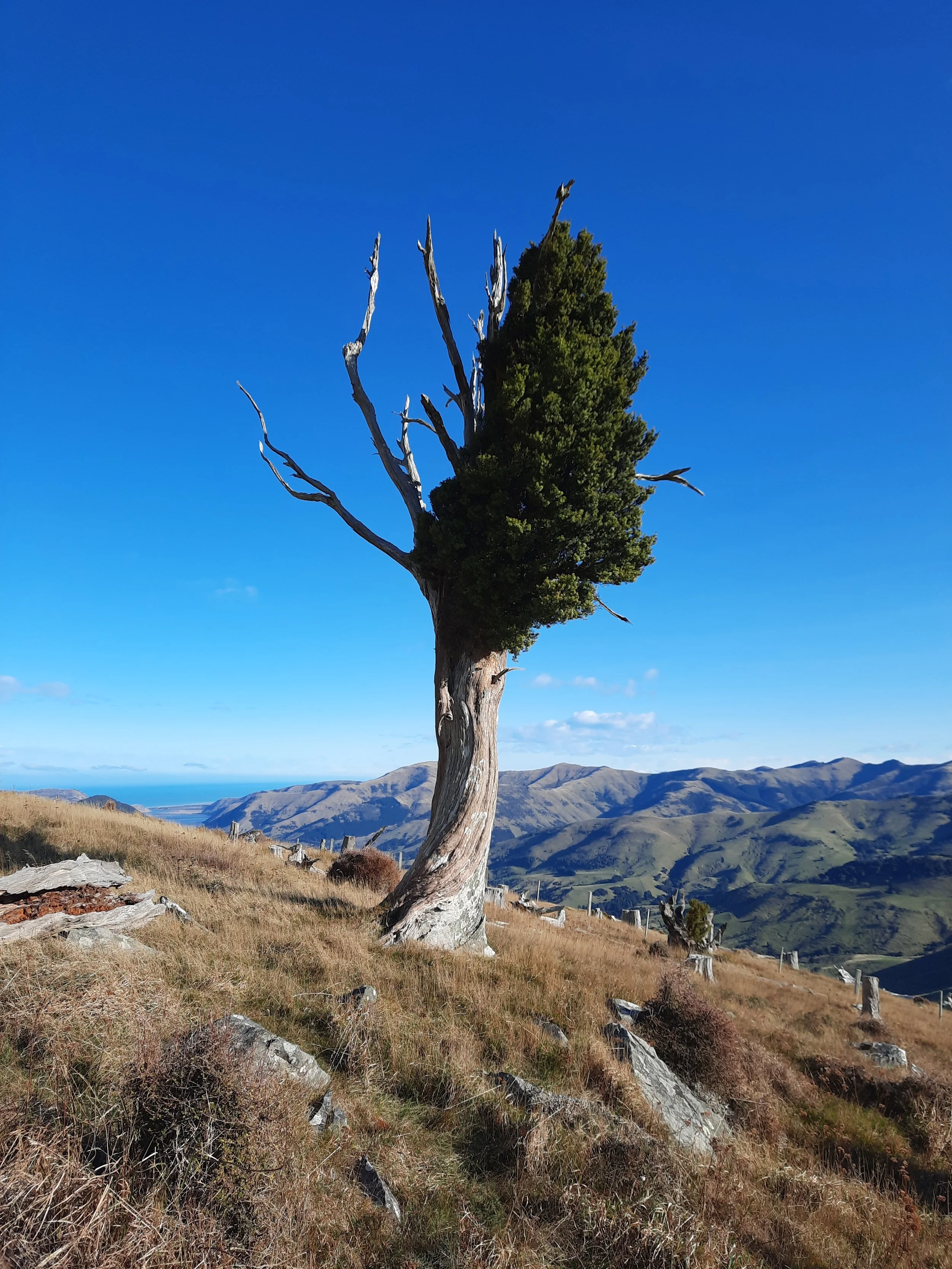
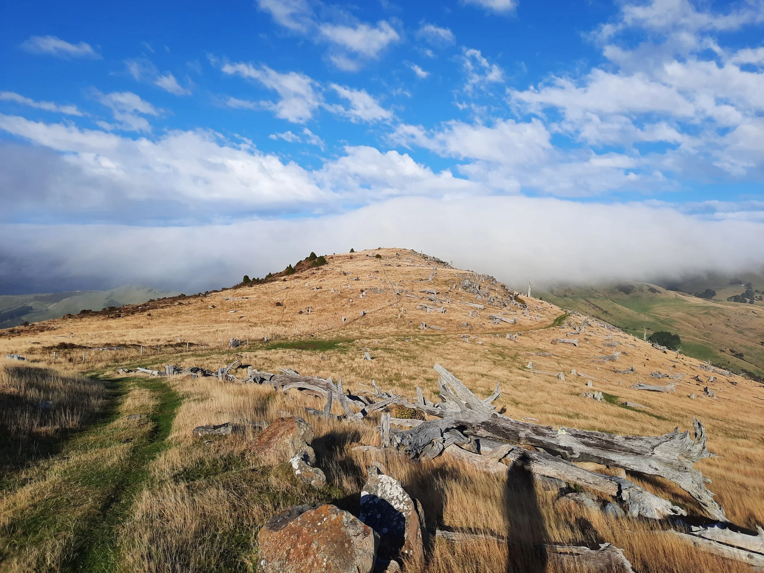
Above the forest, it was an easy walk along a gentle ridge through hill pasture, parts of which had numerous sheep. At one point on the hike, I estimated that the number of sheep in view on the ridge, and on the surrounding hills, was the largest number I had ever had in sight at one time - perhaps 400-600.
Once I reached the slopes of Mt Sinclair, I looked for a path to its peak, as the land is public land at this point. I think I spotted one, but it was overgrown with dense shrubs, so I decided not to take it.
If 1 is an easy track, and 4 is using hands and feet on exposed rocks, I give this track a 3 for Montgomery Scenic Reserve, but overwhelmingly a 1 for the rest of the walk, with brief areas of 2 generally coinciding with small forested areas such as Whatarangi Totara Reserve.


Southeast. At right, French Hill and Saddle Hill. In center, Akaroa Harbour and the Onawe Peninsula. Above the peninsula, Stony Bay Peak.
Looking north-northeast toward Pigeon Bay. Cloud blown uphill from the east.
Pages about this part of the Summit Walkway
Summit Walkway pages
Nearby hikes
Lyttelton-Crater Rim circuit over Mt Cavendish and Mt Pleasant, Lyttelton, Christchurch
Mt Herbert, Diamond Harbour
Stony Bay Peak-Flag Peak circuit, Akaroa
Banks Peninsula history
Tales of Banks Peninsula (https://nzetc.victoria.ac.nz/tm/scholarly/tei-JacTale.html)