Bluff Hill circuit via Foveaux Walkway, Bluff, NZ


Screenshots of the NZ topographic map are licensed as CC BY 4.0 by Toitū Te Whenua Land Information New Zealand (LINZ).
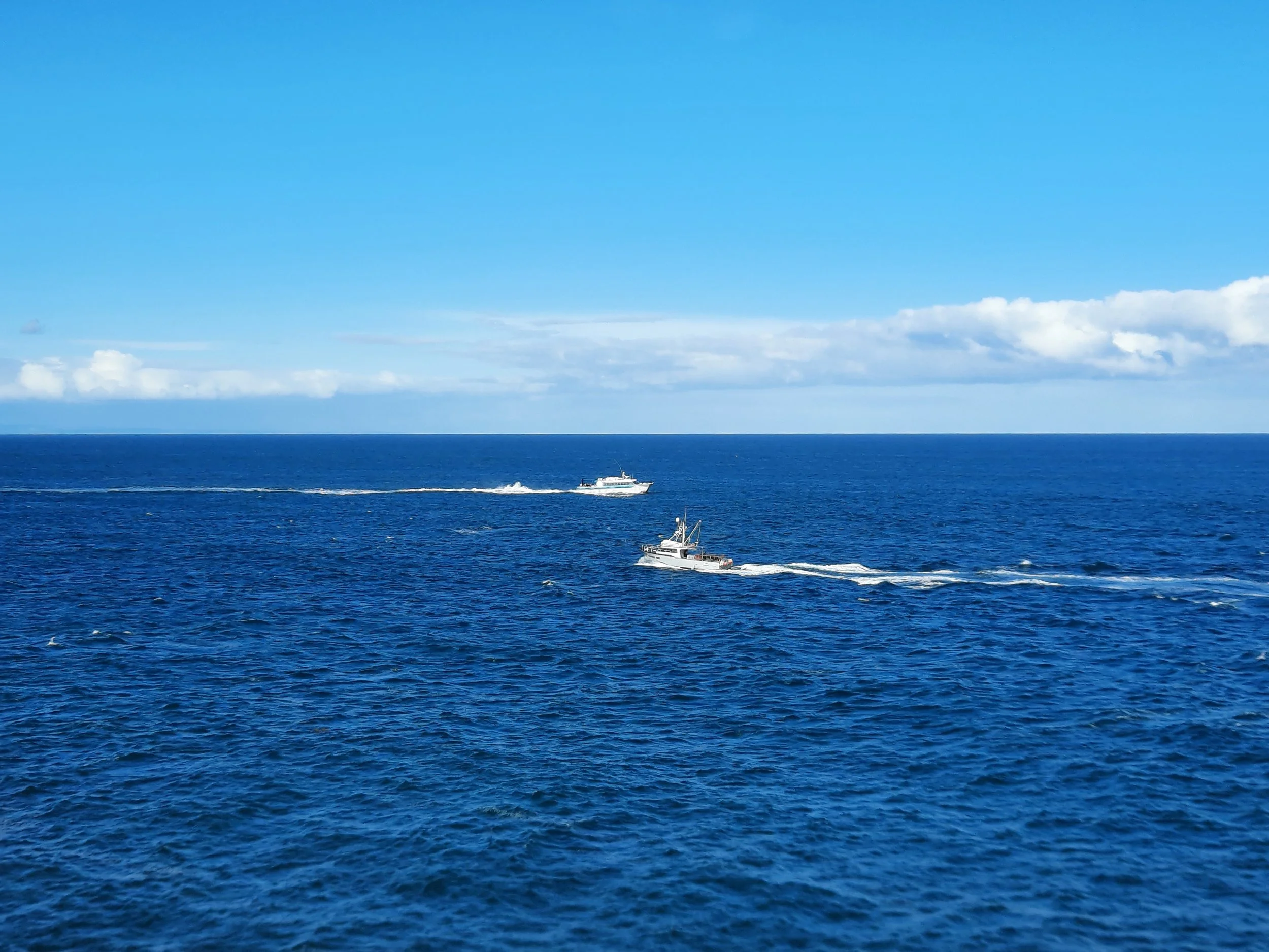
Bluff Hill (265m; Motupōhue), also known as the Bluff, is the site of a short circuit hike in Bluff on the southern coast of Southland, South Island. It sits across the Foveaux Strait from Stewart Island, and seems like the best place to see Stewart Island from the mainland. The trailhead is around 30 minutes by car from Invercargill.
Starting from Stirling Point parking lot, I ascended Topuni Track to the summit, descended Millennium Track to Lookout Point, and walked along the coastal Foveaux Track back to the parking lot. Stirling Point doubles over as the southern trailhead for the nationwide Te Araroa Trail.
Time
Including breaks, it took me around 3 hours. AllTrails users report an average time of 2 hours 22 minutes.
Route
According to AllTrails, the circuit has 304m elevation gain over 7.4km. Most of the elevation gain is from the parking lot at Stirling Point, a few meters above sea level, to the summit at 260m.
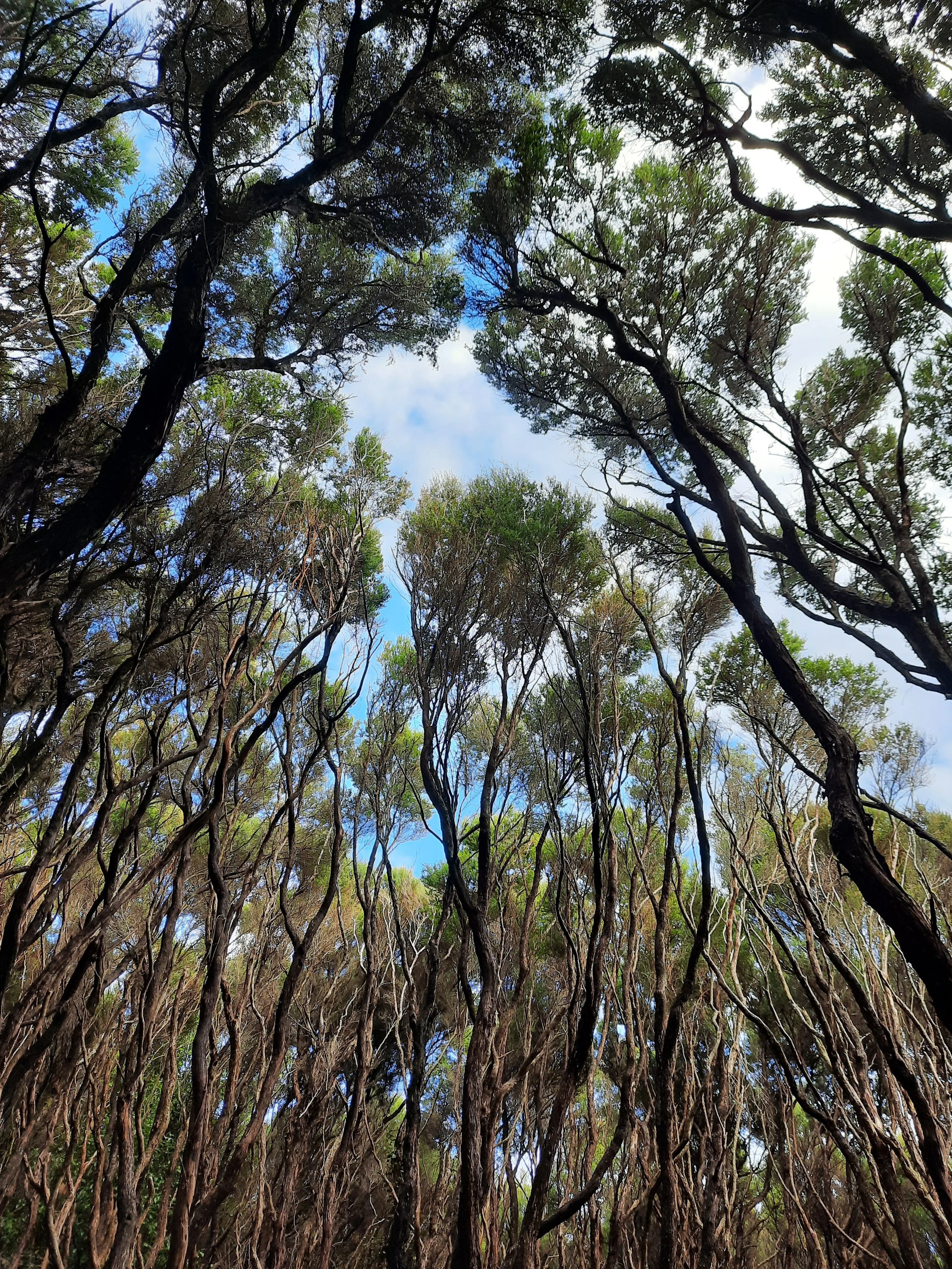
I chose to walk counter-clockwise by ascending first, probably to get the exercise out of the way sooner. The ascent through forest was on a good track with a lot of steps. I passed WWII detritus, such as a bunker and a cannon. At the top of the forest, there is a clearing with a few short routes to the summit lookout.
After enjoying the view, I found the beginning of the Millennium Track on the edge of the summit parking lot, and descended to the T-intersection with Foveaux Track. The upper part of the descent is in forest, whereas the lower part is through low bushes, again on a good track. Very near the T-intersection is a half-minute side-trip to Lookout Point, where there is a memorial for those who died in an airplane crash.
The walk along Foveaux Track back to Stirling Point was mostly flat and pleasant. Flax grew over the trail in places. As I neared Stirling Point, I walked a few meters downhill to a little cove, where I saw fantails. Back on the trail, I saw a silvereye.
If 1 is an easy track, and 4 is using hands and feet on exposed rocks, I give this hike a 1 at worst.


Summit panorama.
Seaweed being whipped about.
Fantail (pīwakawaka).
Looks like a silvereye (tauhou).
Other pages about this hike
https://www.alltrails.com/trail/new-zealand/southland/bluff-hill-loop
https://southlandnz.com/places-to-visit/bluff/things-to-do/walking/
Pages about other hikes in southern Southland
This hike seen from elsewhere:

Bluff Hill seen from Ocean Beach Road to the northwest. Tiwai Point smelter visible at far left..