Canterbury, NZ: Scenery
Photos taken from the roadside or on short walks in Canterbury (Waitaha), the central region of Waipounamu (South Island), Aotearoa New Zealand. See here for the southern part of the island and here for the northern regions and the West Coast.
Kaikōura Peninsula


Hurunui
Molesworth Reserve and Tophouse Rd


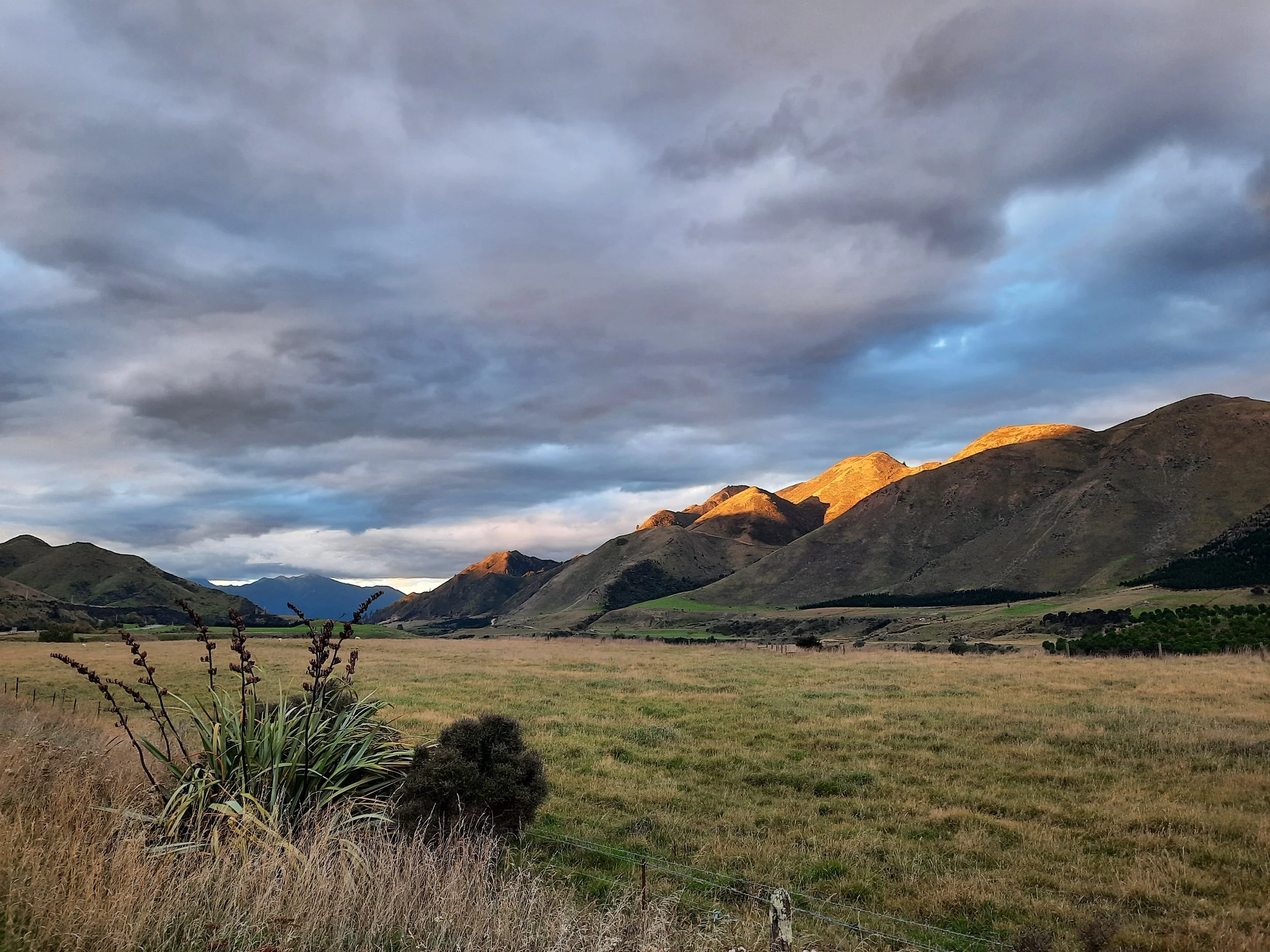
Waiau Uwha Valley


Weka Pass and Gowan Hill


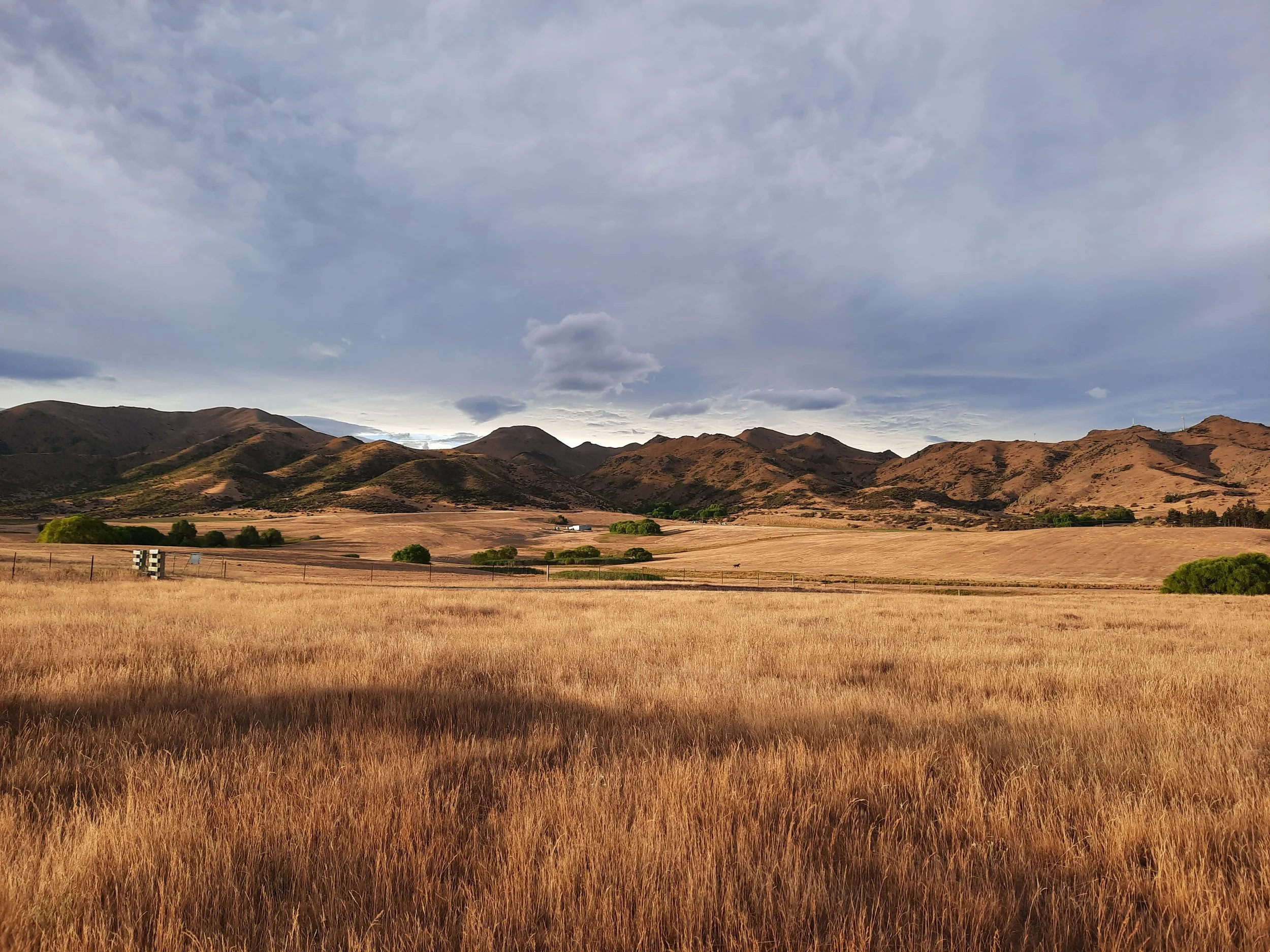
Central Canterbury
Only partly overlapping with the official region of Mid Canterbury.
Banks Peninsula (Horomaka)


Castle Hill (Kura Tāwhiti) and nearby


The highway through Castle Hill, on misty mornings, is my favorite drive in Canterbury.
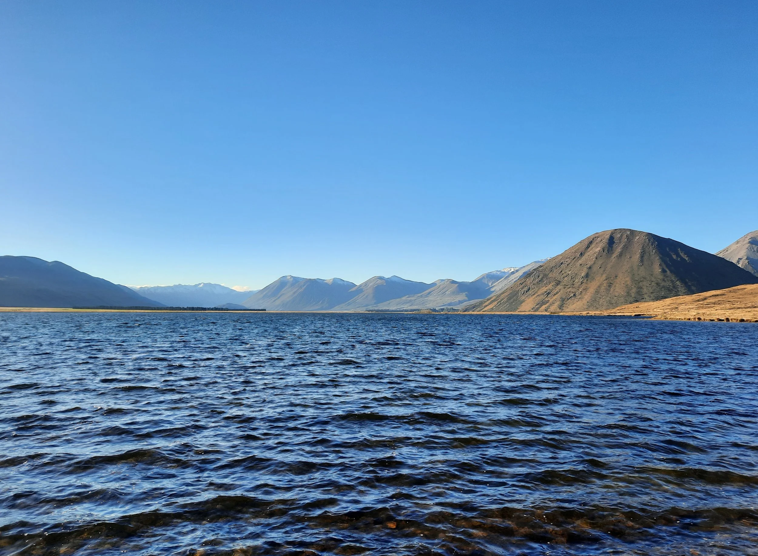
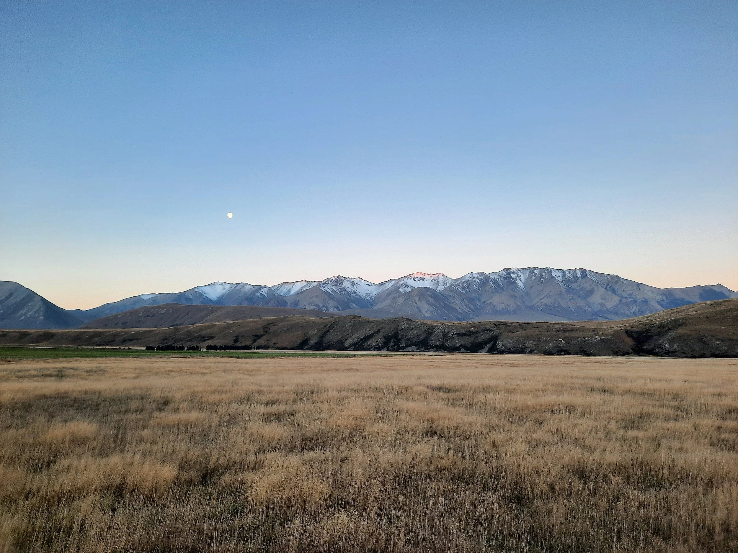
Lake Coleridge area and Rakaia Valley


Evening over the Rakaia. Rotating upriver from moon to sunset.
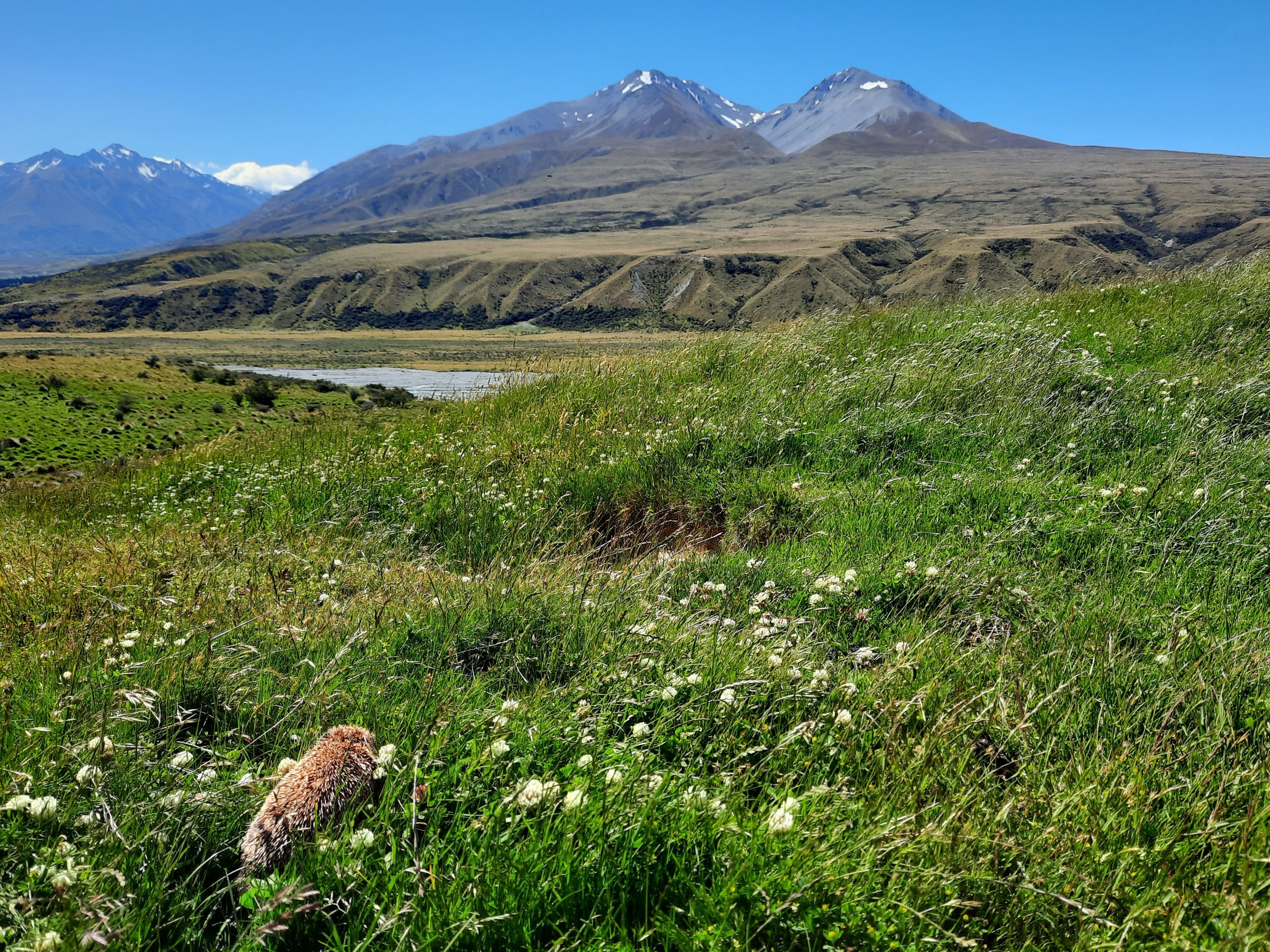
Hakatere Valley and Lake Heron area


Mt Potts and Upper Rangitata Valley


South Canterbury
Timaru and nearby


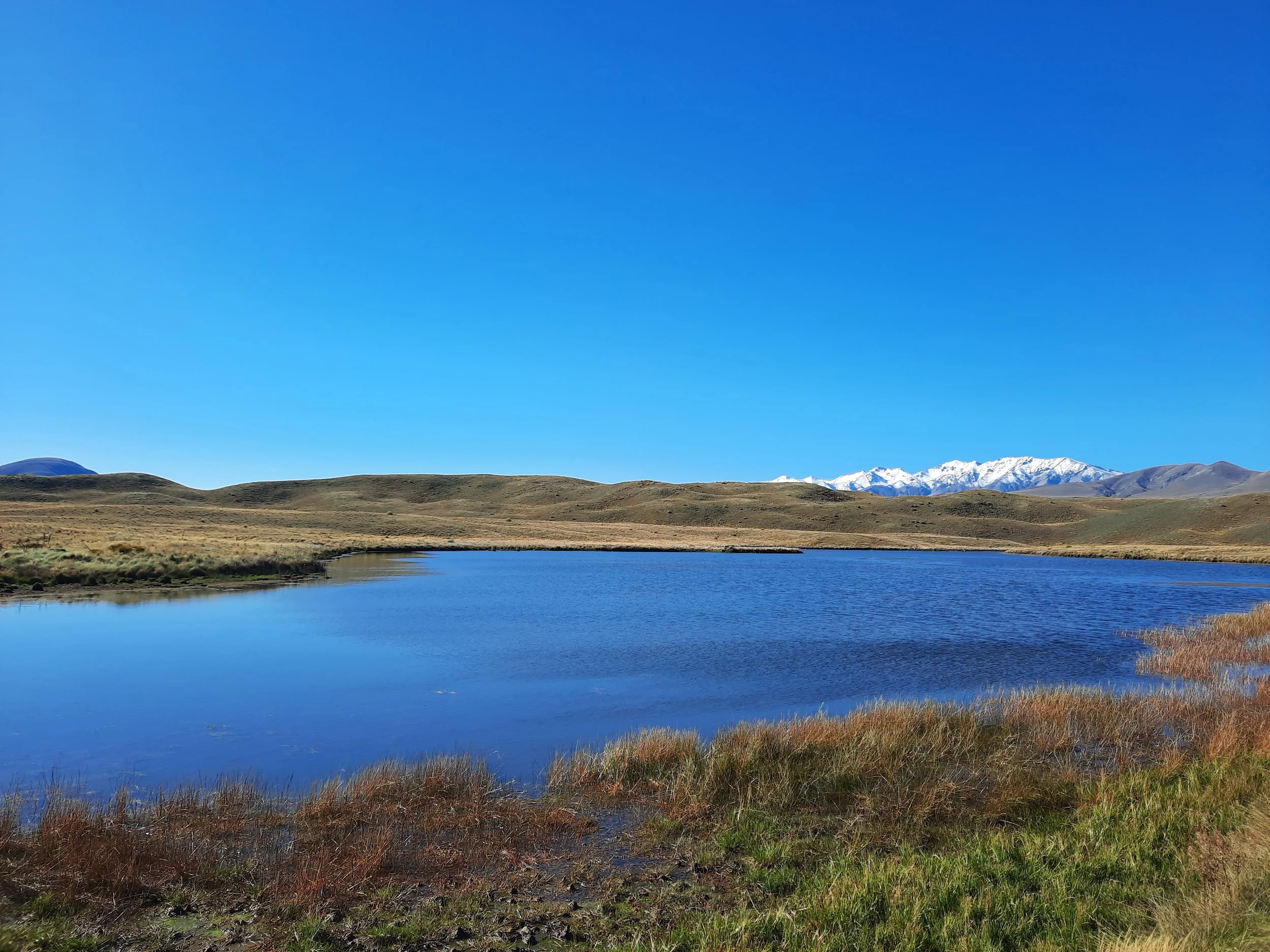
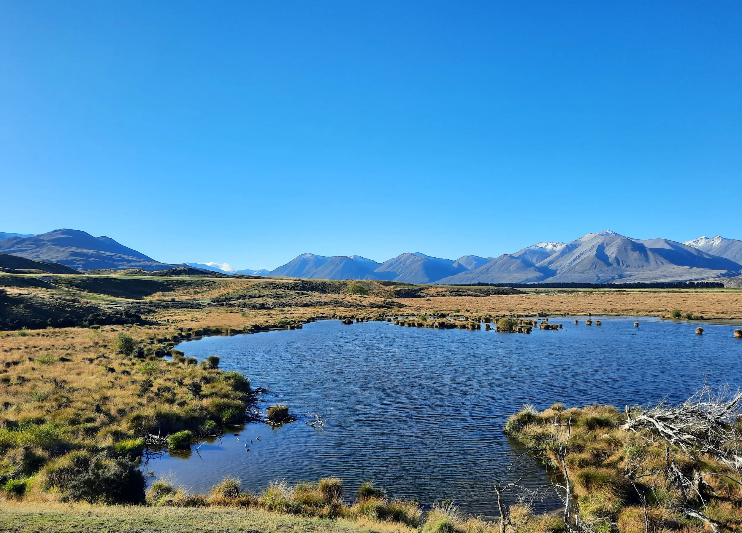
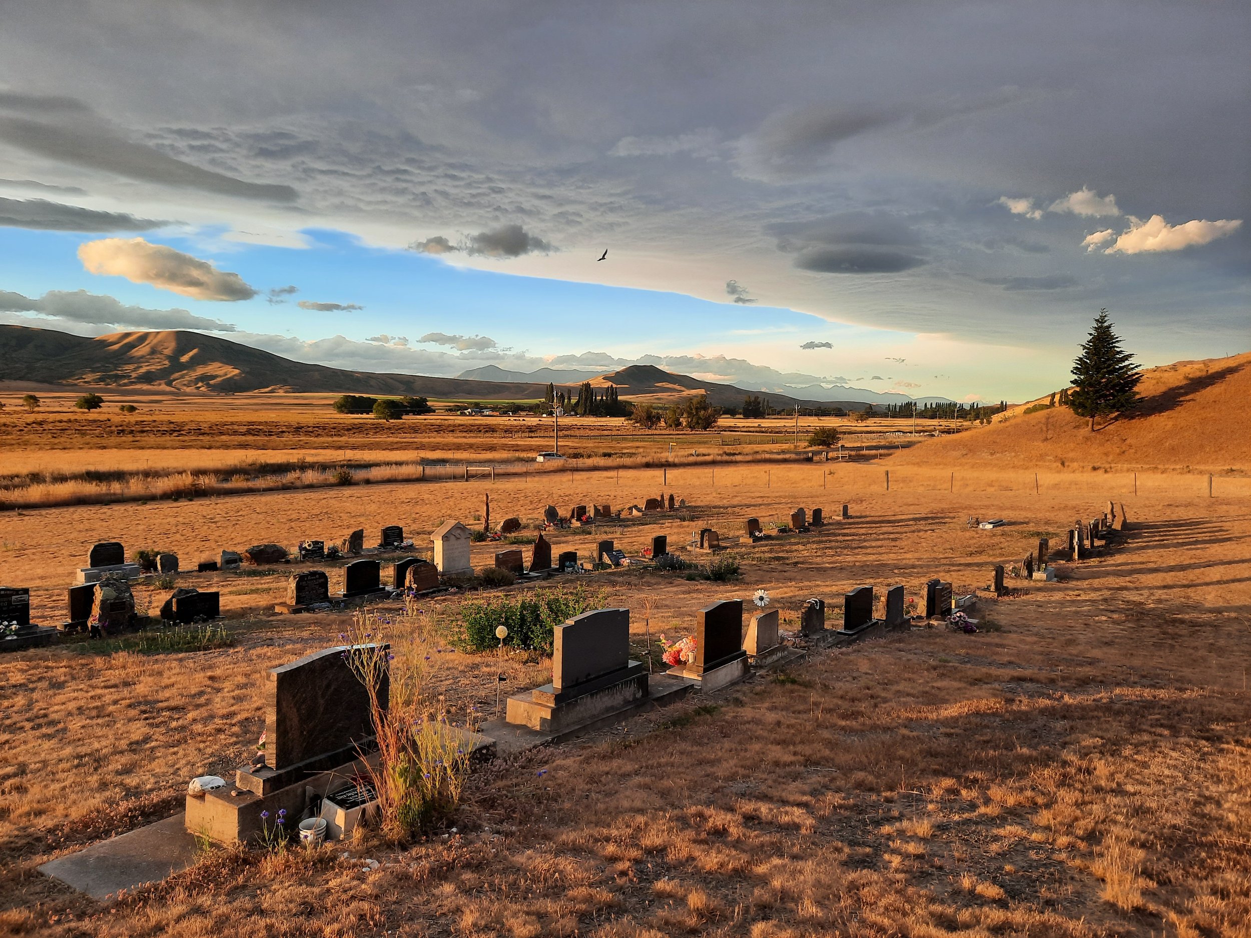
Mackenzie Basin


I believe the snowy Ohau Downs photo is the only edited photo on this page.
Waitaki Valley
This area was formerly part of North Otago