Northern South Island, NZ: Scenery
Photos taken from the roadside or on short walks in the northern regions and the West Coast of Te Waipounamu (South Island), Aotearoa New Zealand. See here for the southern part of the island and here for the central part, Canterbury.
Tasman (Te Tai-o-Aorere)
Cape Farewell and Golden Bay (Mohua)


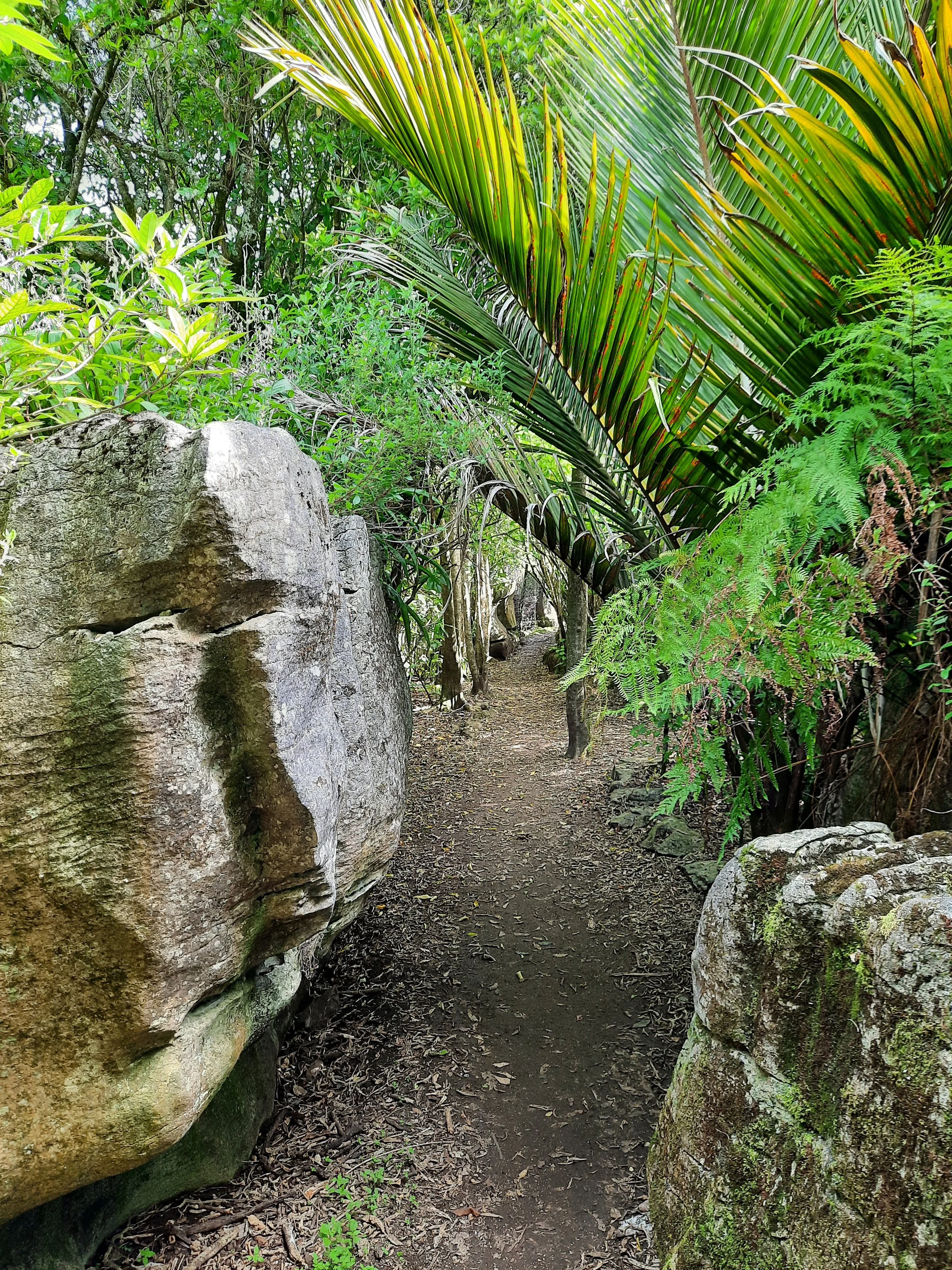


Tākaka Hill and Canaan Downs
There is no path directly from Gorge Creek Lookout to the top of Harwood’s Hole. I would know, because I tried to find one. So the only place to see Harwood’s Hole is from the official lookout, 40-50 meters below Gorge Creek Lookout.


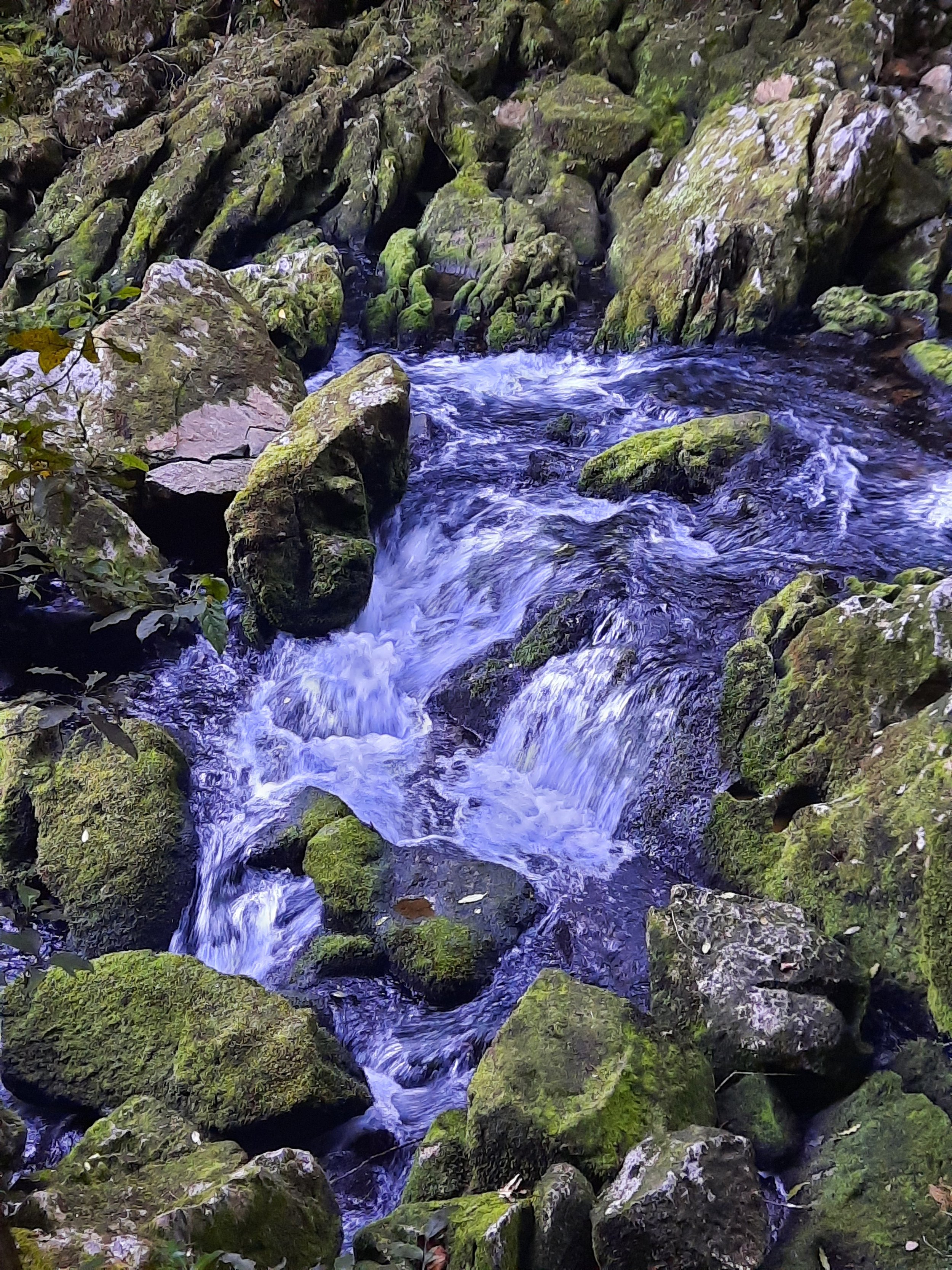
Riuwaka Resurgence
The Riuwaka emerges from Tākaka Hill’s limestone cave system.


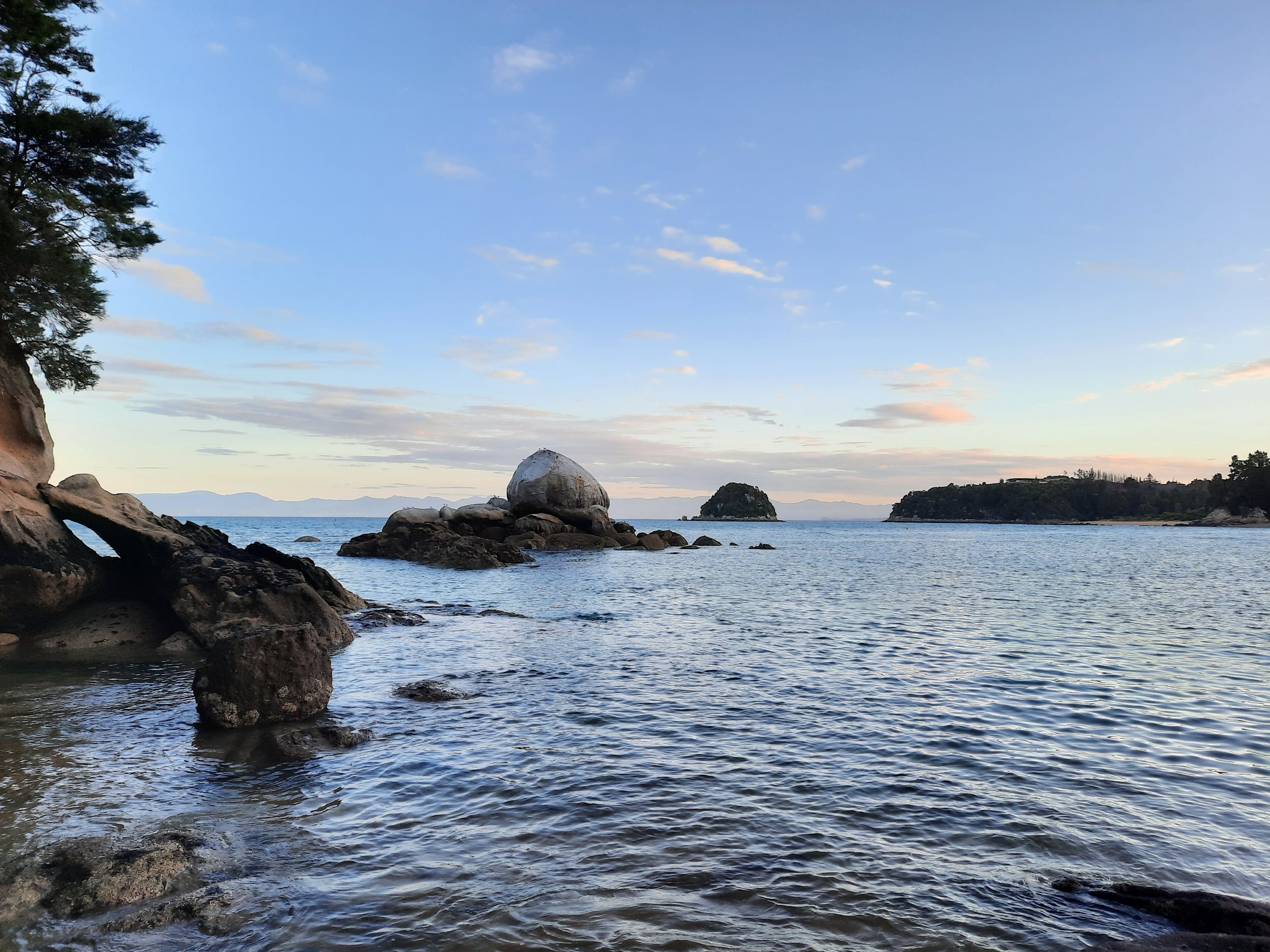
Sandy Bay and Towers Bay


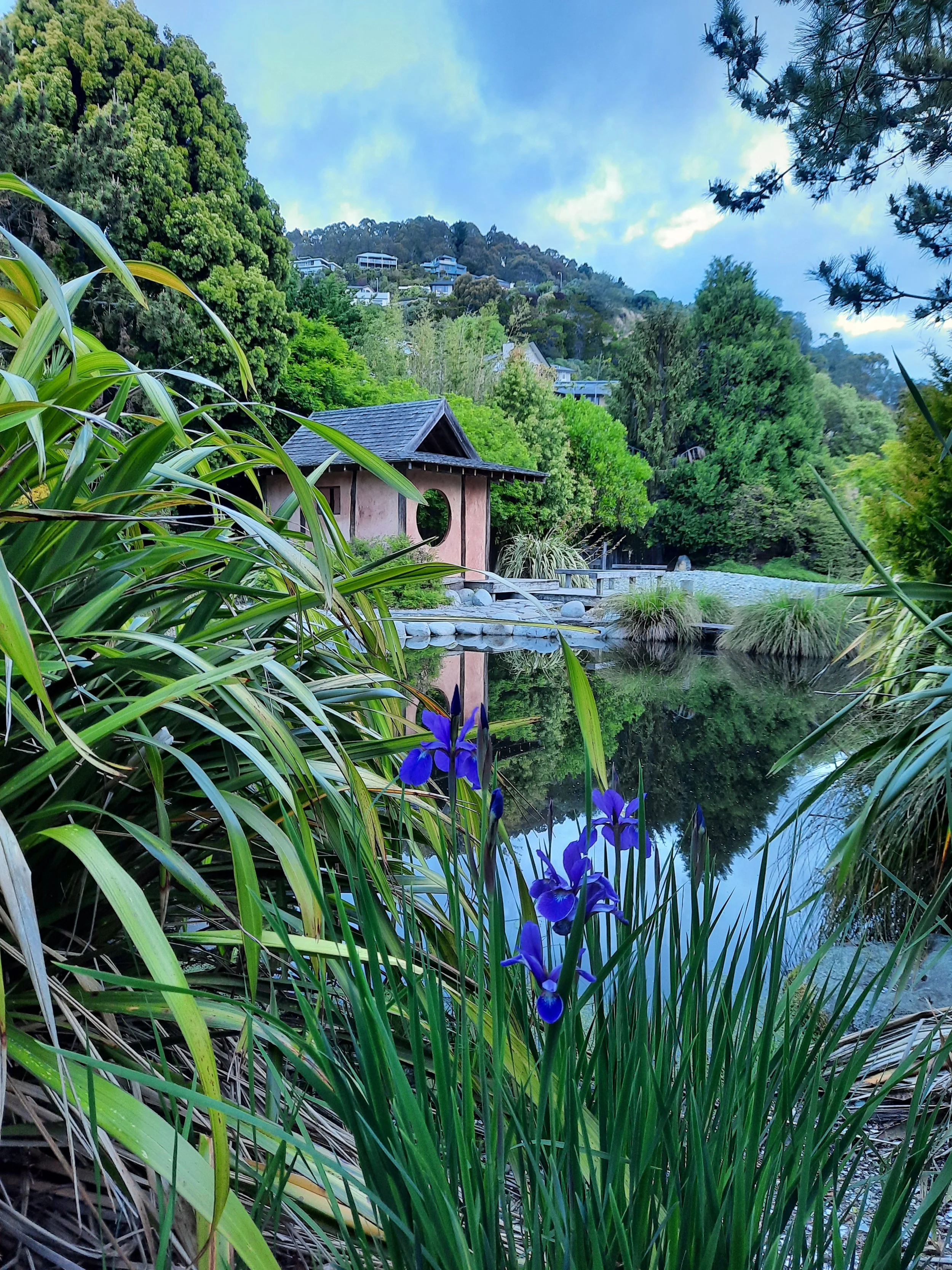
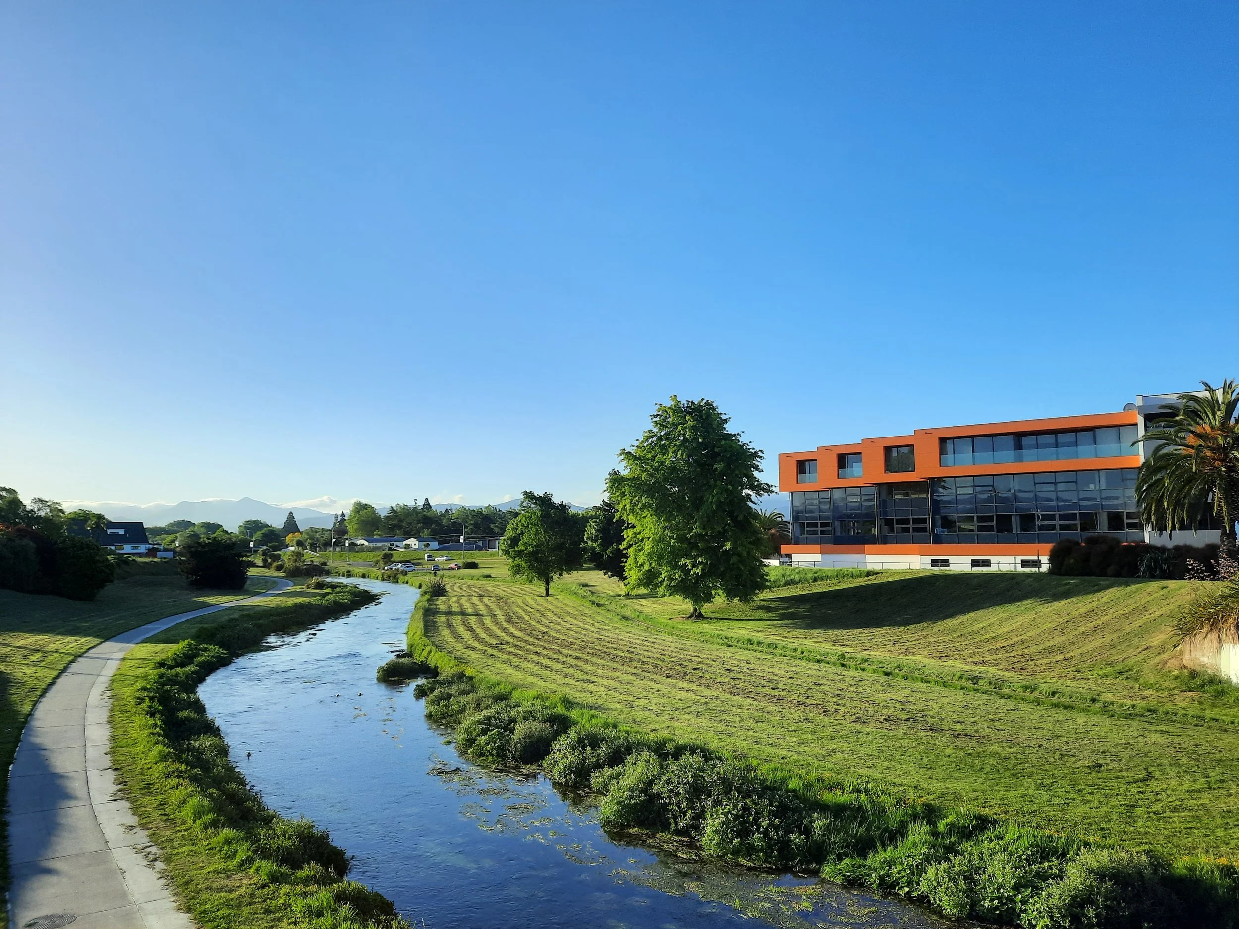
Nelson (Whakatū)


Marlborough (Te Tauihu-o-te-waka)
“Te Tau Ihu” is also used to refer to the more northerly parts of both Marlborough and Tasman, as well as all of Nelson.


West Coast (Te Tai Poutini)
Buller District, inland


Buller District, coastal


Other than the Pancake Rocks, I hadn't seen photos of the Buller-Grey coastline before visiting. This looks a lot like my imagination of the southeastern Australian coast - which I have never visited. I would have been surprised to learn it was in NZ.


