Hiking in Honshū, Japan


Six hikes on the main island, Honshū.
See here for four hikes on Shikoku and Kyūshū. There are also two standalone posts on other Kyūshū hikes, Mt Aso and Mt Kujū.
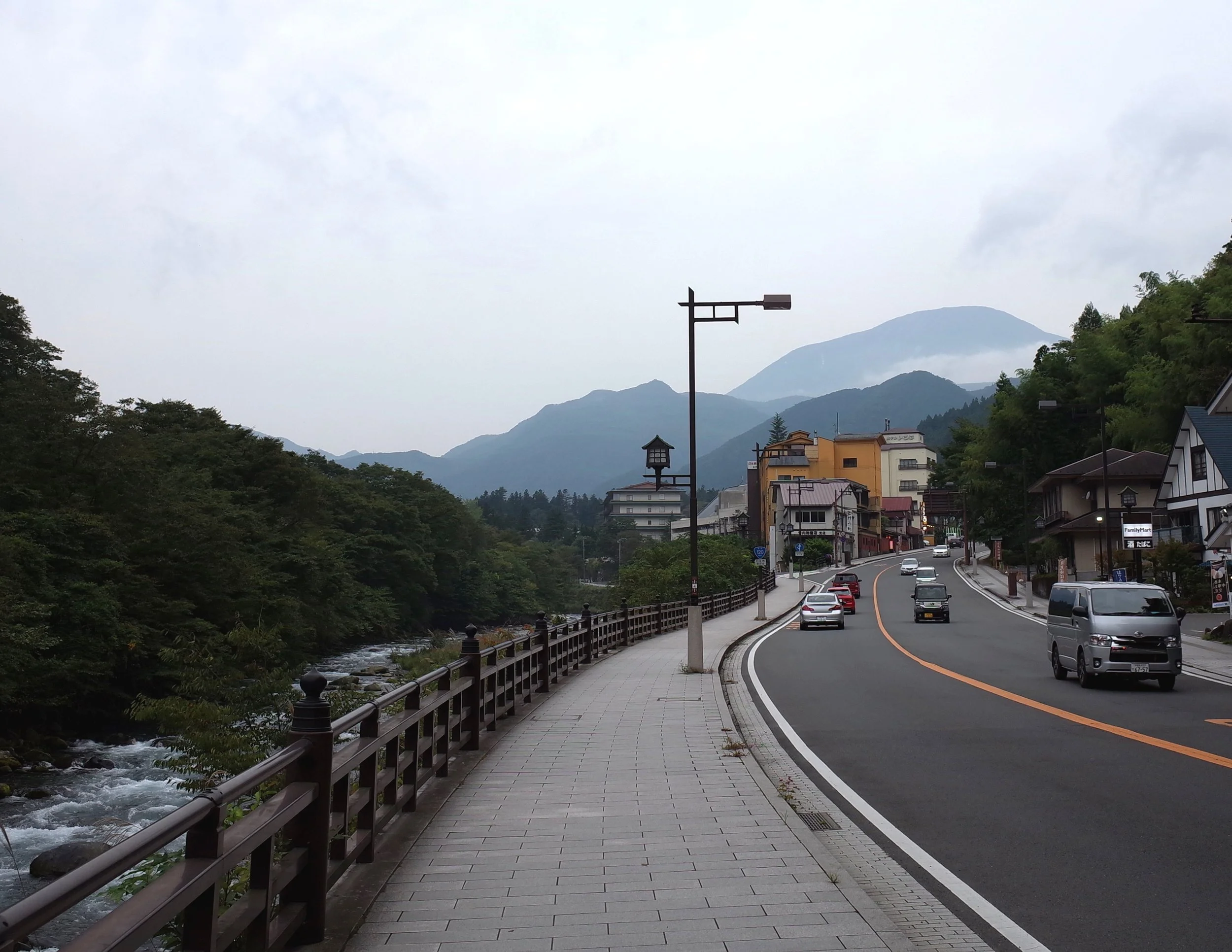
Mt. Nantai (Nantai-san), near Nikkō, Tochigi Pref., Kantō region
The bus from Nikkō takes 40-50 minutes. Hiking is permitted from May to October each year. Guarding the trailhead is a Shintō shrine, the Chugushi branch of Nikkō’s large Futarasan Shrine. The miko in the shrine office charge 1000 yen for admission. The gate is locked when the shrine closes at 17:00, but hikers can unlock it from inside.
It took me a little over 4 hours to reach the peak. On my way down, I made friends with two men jogging downhill together. Once we had jogged to the parking lot, we went to a restaurant/onsen (hot springs bath). This was a first for me.
Mt. Nantai is an active volcano, but it hasn’t erupted for thousands of years. For more info, see AllTrails.


Mt. Tsukuba (Tsukuba-san), near Tsukuba, Ibaraki Pref., Kantō region
It took me 2 hours to reach the top of this forested mountain. The shuttle bus from Tsukuba Station took 40 minutes to reach the Tsukuba shrine trailhead, and 50 minutes to return from the Tsutsujigaoka trailhead. More info: AllTrails.
Though I started at Tsukuba Shrine trailhead and finished at Tsutsujigaoka, the other way around may make more sense. This is because Tsukuba trailhead is closer to Tsukuba Station, so the last bus probably passes by later, and it’s a shorter walk in case of missing the bus.
The mountain has twin peaks. A shop between the twin peaks sells snacks, mainly to tourists who arrive by funicular (starting near the Tsukuba shrine trailhead). If I were to hike Mt. Tsukuba again, I would hike up and take the funicular down, because both trails have stretches which are unpleasantly steep and rocky to descend. The other hikes on this page all offered more interesting views.


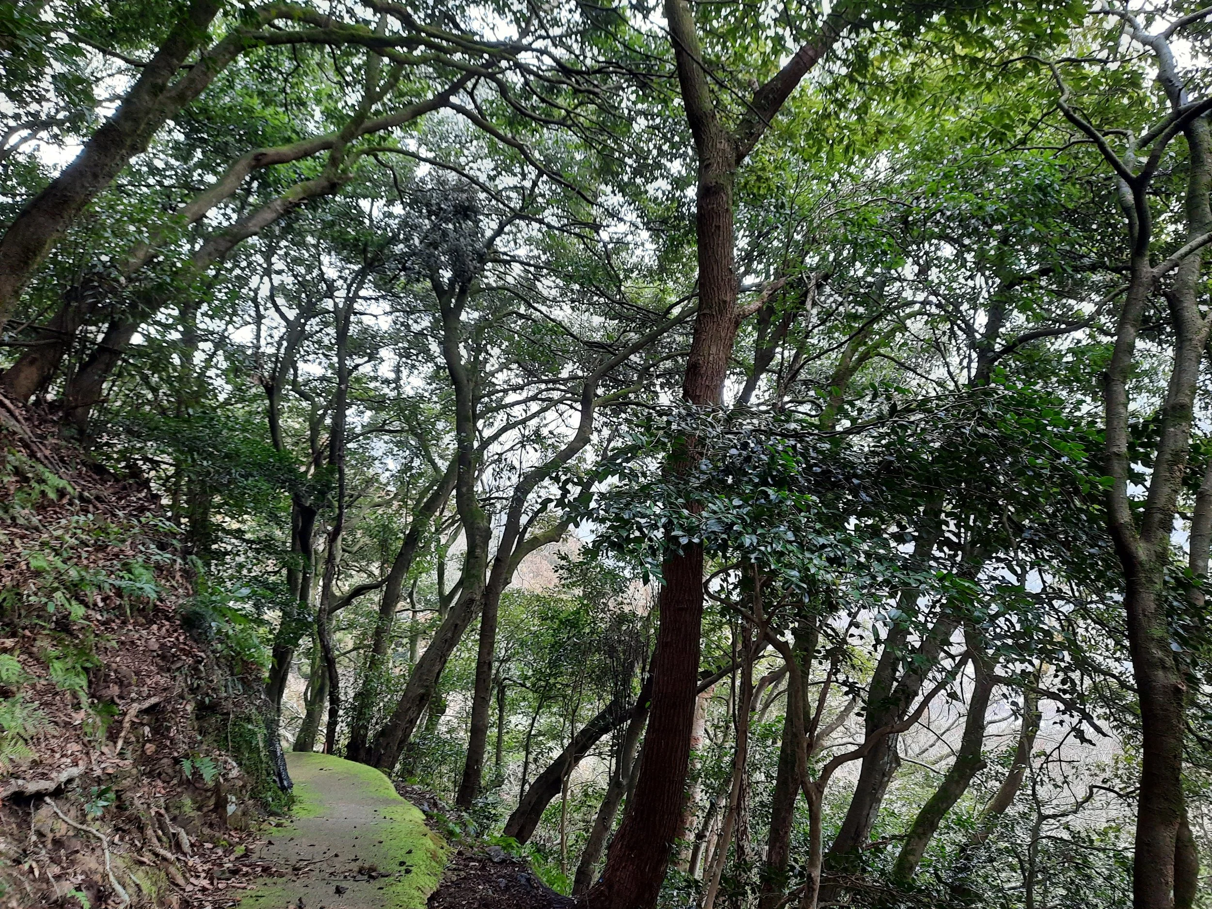
Mt. Takao (Takao-san), Hachiōji, Tōkyō, Kantō region
Mt. Takao is perhaps the most popular hike for Tokyo residents who don’t otherwise hike. I experienced it as a pleasant walk uphill through a forest, past various shrine structures and food stalls. Arriving in the morning is probably a good idea, to avoid crowds. The various Buddhist things pictured below seem to be part of Yakuō Temple.


Arashiyama Monkey Park (Iwatayama), Kyōto, Kansai region
This short hike in western Kyōto took me 15-20 minutes one-way.
The primary attraction is the monkey park, the Japanese name of which is fairly familiar for English speakers: Arashiyama Monkī Pāku. I didn’t feed the macaques, because it was free to watch other tourists pay to feed them.


Tsuwano Castle ruins, Tsuwano, Shimane Pref, Chūgoku
From Tsuwano train station, I walked to the large red torii (gate) at the foot of the hill containing Taikodani Inari Shrine. I then ascended to the shrine and walked across its plaza before taking a staircase down to the parking lot, where there is a toilet. Continuing along the road leading to the parking lot, I soon reached the trailhead on my left - not currently visible on Google Maps - and ascended toward the ruins of Tsuwano Castle. The ruins were nearly deserted. The whole out-and-back hike from the big red gate took around 1 hour 50 minutes, including breaks.
It was maybe another 15 minutes each way from the shrine gate to the station. Instead of returning directly to the station after my hike, I explored the historic district, which along with its sake distilleries is the main tourist draw.


Mt. Shizuki (Shizuki-yama) at Hagi Castle, Hagi, Yamaguchi, Chūgoku
Hagi Castle’s more interesting ruins are at the foot of densely forested Mt. Shizuki, while the stronghold is at the summit. From the beginning of the ascent (the steps beside the hydra-like tree) to the summit and back took around 45 minutes, including breaks. I spent additional time photographing raptors flying above the moat before the hike, and exploring the castle grounds afterward.


