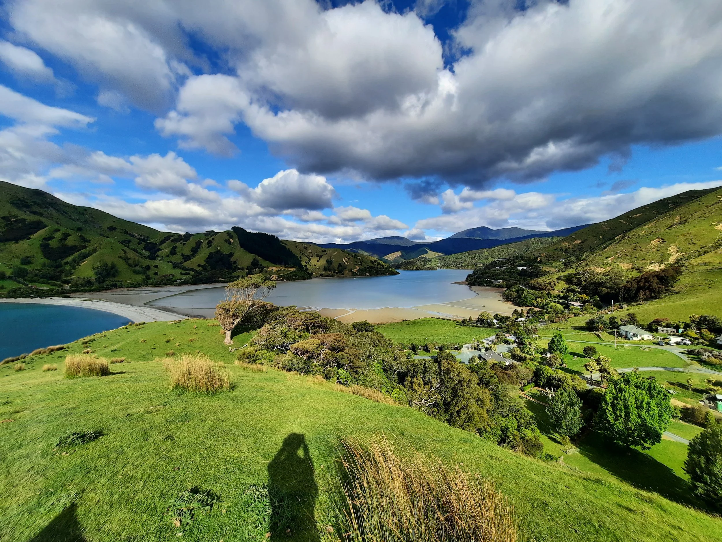
Sentinel Hill, Cable Bay, Nelson, NZ


My route at the upper right is only a small portion of the entire walkway.
Screenshots of the NZ topographic map are licensed as CC BY 4.0 by Toitū Te Whenua Land Information New Zealand (LINZ).
Sentinel Hill (250m) is the northern end of the medium-length Cable Bay Walkway, which connects Cable Bay (Rotokura) with Glenduan in the Nelson region of South Island. It is around 30 minutes’ drive north from the city of Nelson.
Sentinel Hill is a spur of the peak Horoirangi (Drumduan), all of which is private land. An easement covers the walkway.
Don’t confuse Sentinel Hill with Sentinel Peak, a mountain much further south - on the shore of Lake Hāwea, Otago.
Time
DOC estimates that it’s a 60-minute round-trip to Sentinel Hill’s peak. AllTrails users report an average of 67 minutes. The round-trip took me around 75 minutes, including breaks.
DOC estimates that the entire walk from Cable Bay to Glenduan, or vice versa, is 3.5 hours one-way.
Route
AllTrails reports 223 meters of elevation gain over 1.9 kilometers out and back.
An isthmus - perhaps an artificial breakwater - connects the mainland with Pepin Island. It separates Cable Bay to the west from a larger lagoon to the east. This lagoon is itself connected to Tasman Bay, but only on the far side of Pepin Island, out of view of this hike.
The gravel parking lot is at the western edge of the isthmus.
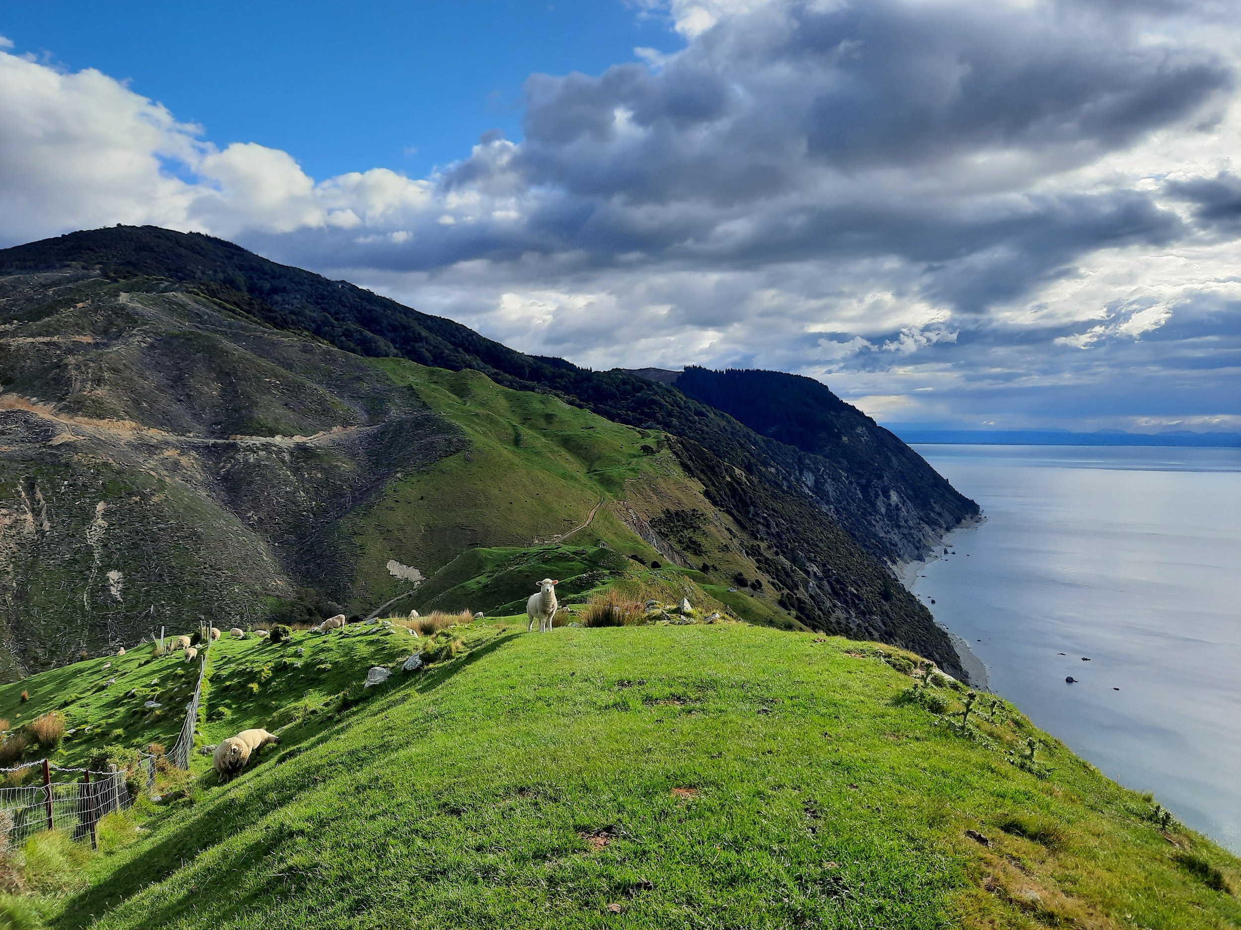
For the first minute or so, I ascended through trees. After a few minutes, there was a lookout with a bench. The rest of the route ascends through hill pasture. There is an impact track and several poles. It is fairly steep in some places.
It is more similar to hikes I remember from Scotland than it is to most of the hikes I’ve done in NZ. The view is unusually good for the limited effort involved!
If 1 is an easy track, and 4 is using hands and feet on exposed rocks, I give this track a 2 at worst.


Other pages about this hike
Pages about the full Cable Bay Walkway
https://www.alltrails.com/trail/new-zealand/tasman/cable-bay-walkway
https://seethesouthisland.com/hiking-cable-bay-walkway-nelson-new-zealand/