108 different day-hikes that I took in NZ, mostly South Island. Several posts about NZ logistics and hikes/travel elsewhere.
Rock Peak, Arrowtown, NZ
Short hike in Pisa Conservation Area, 20 minutes from Arrowtown.
Moonlight Track, Queenstown, NZ
Long hike from Arthur’s Point to Ben Lomond Saddle, via less-used route. 10 minutes from Queenstown.

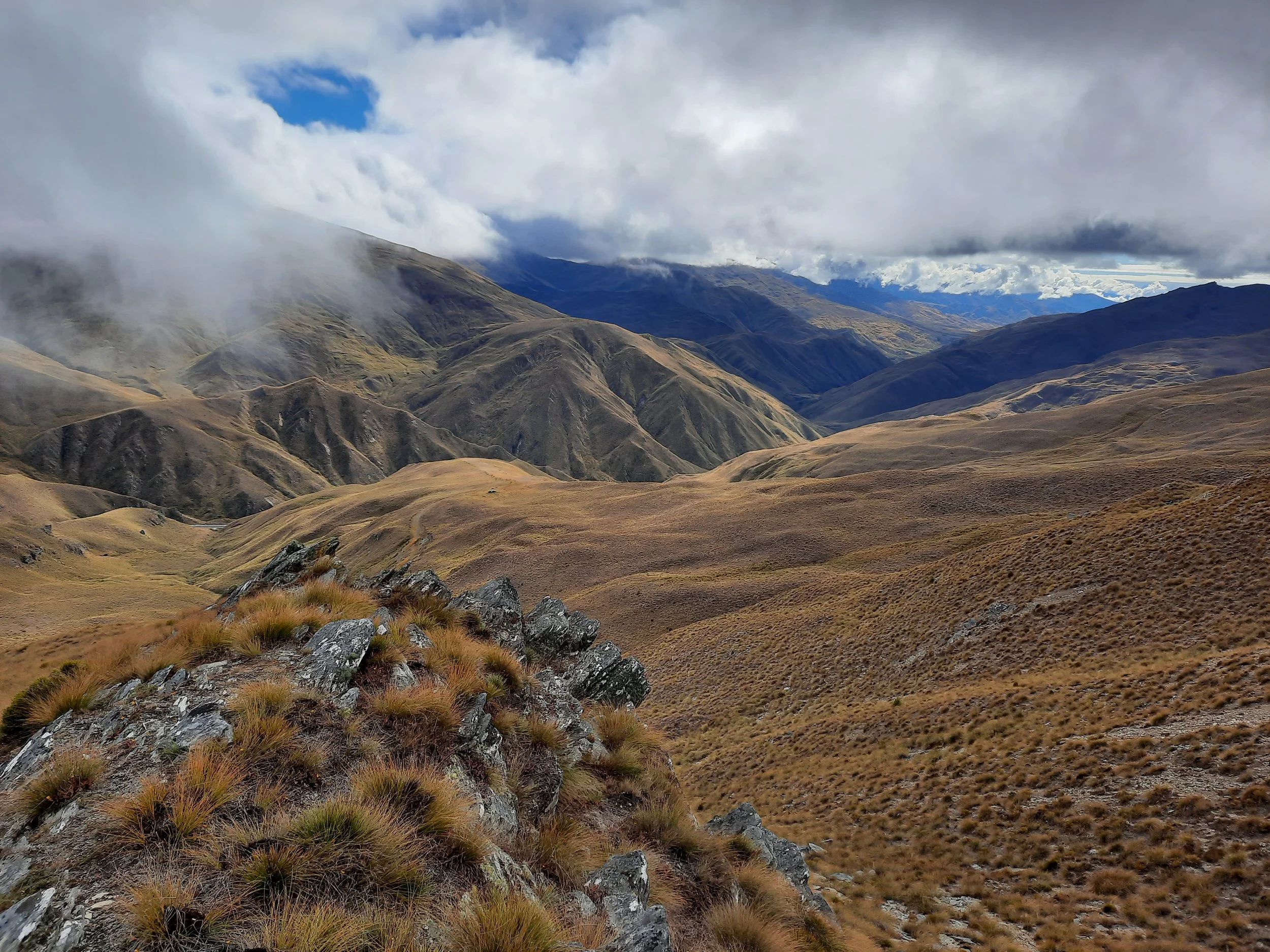
Crown Peak, Arrowtown, NZ
Long hike, accessible on foot from Arrowtown.

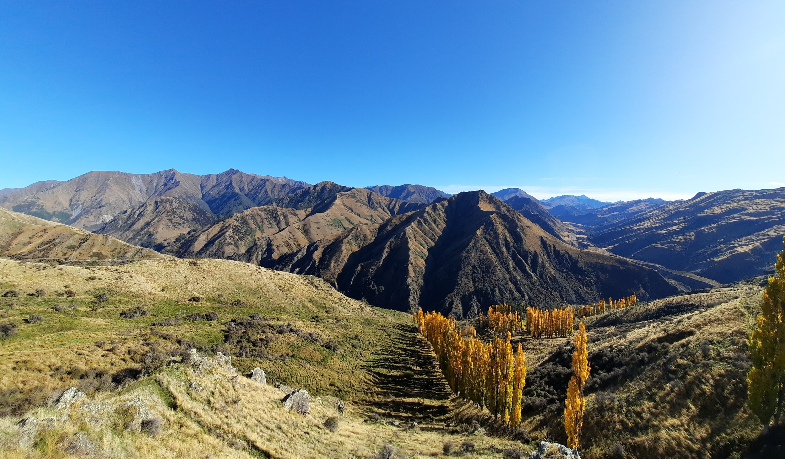
Brow Peak, Arrowtown, NZ
Medium-length hike, accessible on foot from Arrowtown.

Jack’s Point vs Kelvin Peninsula, Queenstown, NZ
Comparing short hikes/walks at either end of the longer Jack’s Point Track. Near Queenstown.

Mt Dewar & Long Gully, Queenstown, NZ
Short hikes 20 minutes from both Queenstown and Arrowtown.
Ben Lomond vs Bowen Peak, Queenstown, NZ
Queenstown’s famous peak vs slightly lower neighbor. Same access tracks. Medium-length hikes.

Moke Lake, Queenstown, NZ
Short circuit around a lake. 20 minutes from Queenstown.

Mt Crichton Loop Track, Queenstown, NZ
Short loop 15 minutes from Queenstown.

Mt Crichton, Queenstown, NZ
Very long hike 15 minutes from Queenstown. Reached Point 1723 via southern route.

Mt Alaska, Glenorchy, NZ
Very long hike 5 minutes from Glenorchy. Includes the shorter Heather Jock Loop.

Black Peak, Glenorchy, NZ
Very long hike 5 minutes from Glenorchy, 50 minutes from Queenstown. Shorter version: Mt McIntosh.

Sugarloaf Pass, Glenorchy, NZ
Long hike near the famous Routeburn Track. 30 minutes from Glenorchy.

Lorn Peak, Kingston, NZ
Long hike 45 minutes from Queenstown.

Shadow Basin Lookout & Lake Alta, The Remarkables, NZ
Short hikes 40 minutes from Queenstown. Autumn snow.

Mt Salmond - Doolan’s Headwaters Traverse, The Remarkables, NZ
Long hike from Gibbston to the Remarkables. 20 minutes from Arrowtown, 30 minutes from Queenstown.