108 different day-hikes that I took in NZ, mostly South Island. Several posts about NZ logistics and hikes/travel elsewhere.

Point 1966 via Freehold Creek, Twizel, NZ
Very long hike, 30 minutes from Twizel.

Ben Ōhau via Greta Track, Twizel, NZ
Medium-length hike, 30 minutes from Twizel.

Mt John, Lake Tekapo, NZ
Short hike from Lake Tekapo village up Mt John, and back to the village along Lake Tekapo.

Sealy Tarns, Mt Cook village, NZ
Short hike on Mt Ollivier, not as far as Mueller Hut. Walking distance from Mt Cook village.
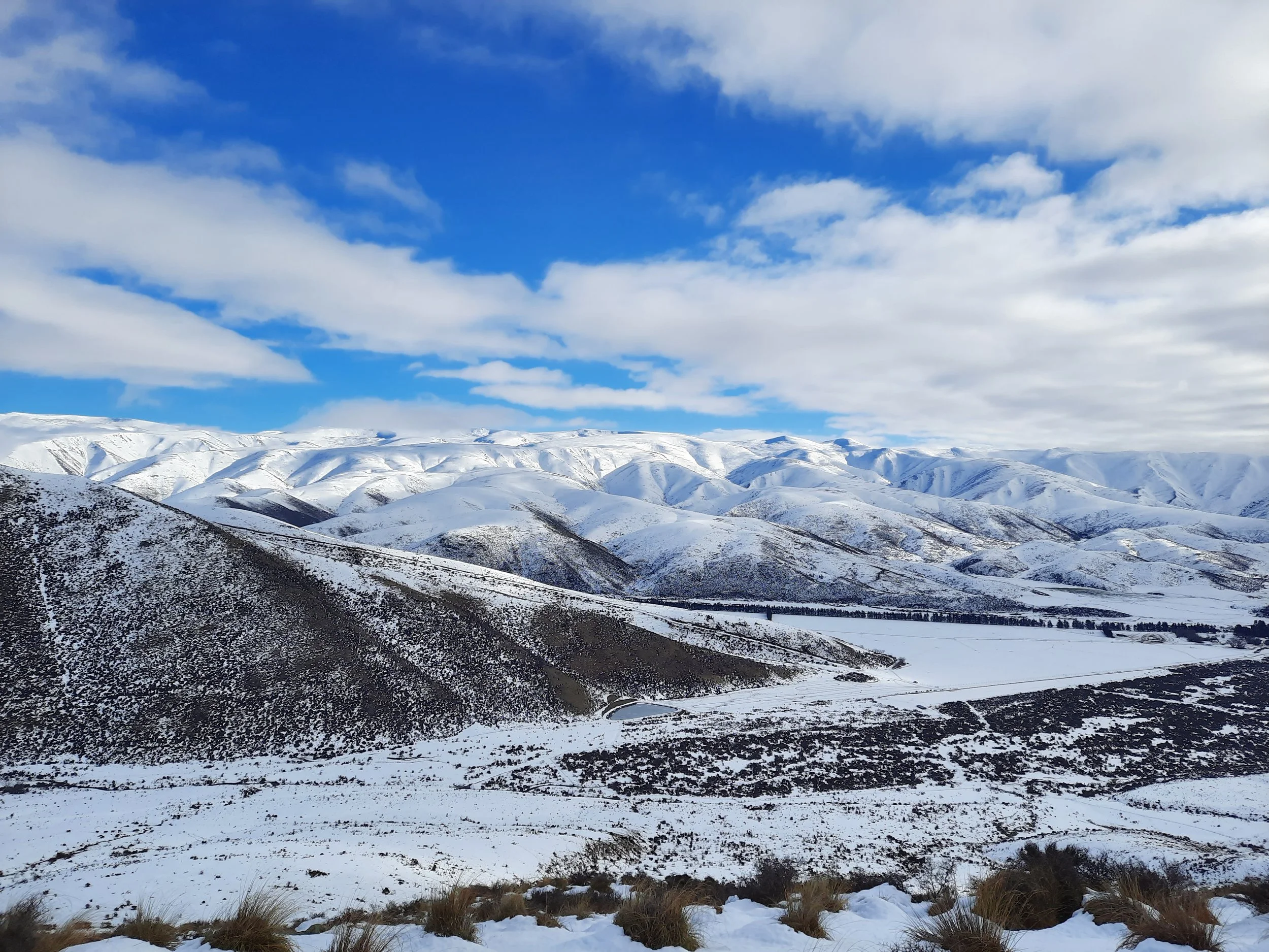
Ewe Range Track, Ōmarama, NZ
Short hike (partial) through Mackenzie Basin hill pasture. 20 minutes from Ōmarama.
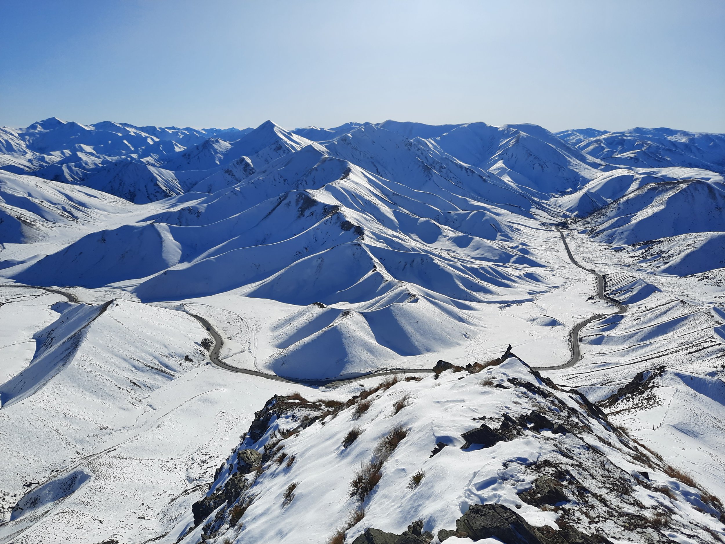
Double Peak, Lindis Pass, NZ
Short hike at the boundary of Otago and the Mackenzie Basin (Canterbury). 25 minutes from Ōmarama.