Grandview Ridge Circuit, Lake Hāwea, NZ


The cyan dot shows where I parked, at the end of Nook Rd.
Screenshots of the NZ topographic map are licensed as CC BY 4.0 by Toitū Te Whenua Land Information New Zealand (LINZ).
Grandview Ridge is a long, mostly gentle ridge east of Lake Hāwea in the Queenstown Lakes region of Otago, South Island. I did a very long clockwise circuit hike involving, in order,
Nook Road parking area;
Nook Road, Hāwea Back Road, and Timaru Creek Road;
the lower portion of the track to Breast Hill;
a long portion of northern and central Grandview Ridge Track (which passes over Breast Peak, but not Breast Hill);
and the portion of Grandview Mountain Track running beside Grandview Creek.
This overlapped part of my previous out-and-back hike to Breast Hill.
Nook Road parking area is about 8 minutes by car from the center of Hāwea township.
According to DOC, this circuit can't be completed 26th September through 7th November (inclusive), as parts are closed for lambing.
DOC refers to this route as “Grandview Mountain Track – Breast Hill-Timaru Creek Track (Nook Road car park to Timaru Creek Road near Gladstone)”. Gladstone is a hamlet along the route, near Hāwea township.
Time
DOC estimates 9 to 12 hours for the hiking portion of this circuit, excluding the road. AllTrails users report an average of 9 hours 35 minutes (possibly just one user).
Including breaks, the hiking and road portions combined took me around 10 hours 15 minutes.
Access
There are two parking areas, one at the end of Nook Road and a smaller, roadside one near the Breast Hill (Te Araroa) trailhead. When I hiked Breast Hill a few years earlier, I parked on the left side of the road around 300 meters past the trailhead.
I started at Nook Road parking area and walked along the road to the Breast Hill trailhead for several reasons:
Breast Hill track is much steeper than Grandview Mountain track, so I wanted to ascend it;
Nook Road parking area is a much easier place to park, with more space and not near a steep drop into the lake;
walking along the road in the morning avoids the risk of sandflies in the evening.
One DOC worker left a bicycle in one parking area, then drove and parked at the other, before returning to her car by bicycle at the end of the hike.
Lake Hāwea Station
As I prepared to begin hiking at Nook Road parking area, hundreds of sheep were driven down a farm track, across the parking area, and through one of the gates. The sheep, pursued by several sheepdogs, were bleating like Baarmageddon was upon them. There is a video below the photo gallery. A few minutes later, an inexperienced shepherdess arrived in the parking area, struggling to herd one straggler sheep by shoving, prodding, and dragging it. She asked where the flock had gone, so I pointed her to the right gate, and shut it for her as she continued shoving the sheep toward its compatriots. This was my second-ever contribution to herding farm animals. (The first was the day that I led my uncle's llamas down a hill in Colorado’s Rocky Mountains, to their pasture in a valley, as a child.)
I assume the sheep were destined for shearing. They belonged to Lake Hāwea Station, which owns a lot of the land that this hike passes through. The station is known for instructing its sheep-shearers to calm the sheep during shearing by playing classical music! Traditionally, shearers play rock music.
Route
According to DOC, the hiking portion is around 26km, making the entire circuit around 31km. It is probably the longest hike I have done in NZ, although not even close to the longest in terms of time. (It would be around 44km, if walking from one’s accommodation in Hāwea. That’s your chance for a day-hike longer than a marathon.)
First I walked along Nook Road, Hāwea Back Road, and Timaru Creek Road. This was easy, and took a little less than an hour.
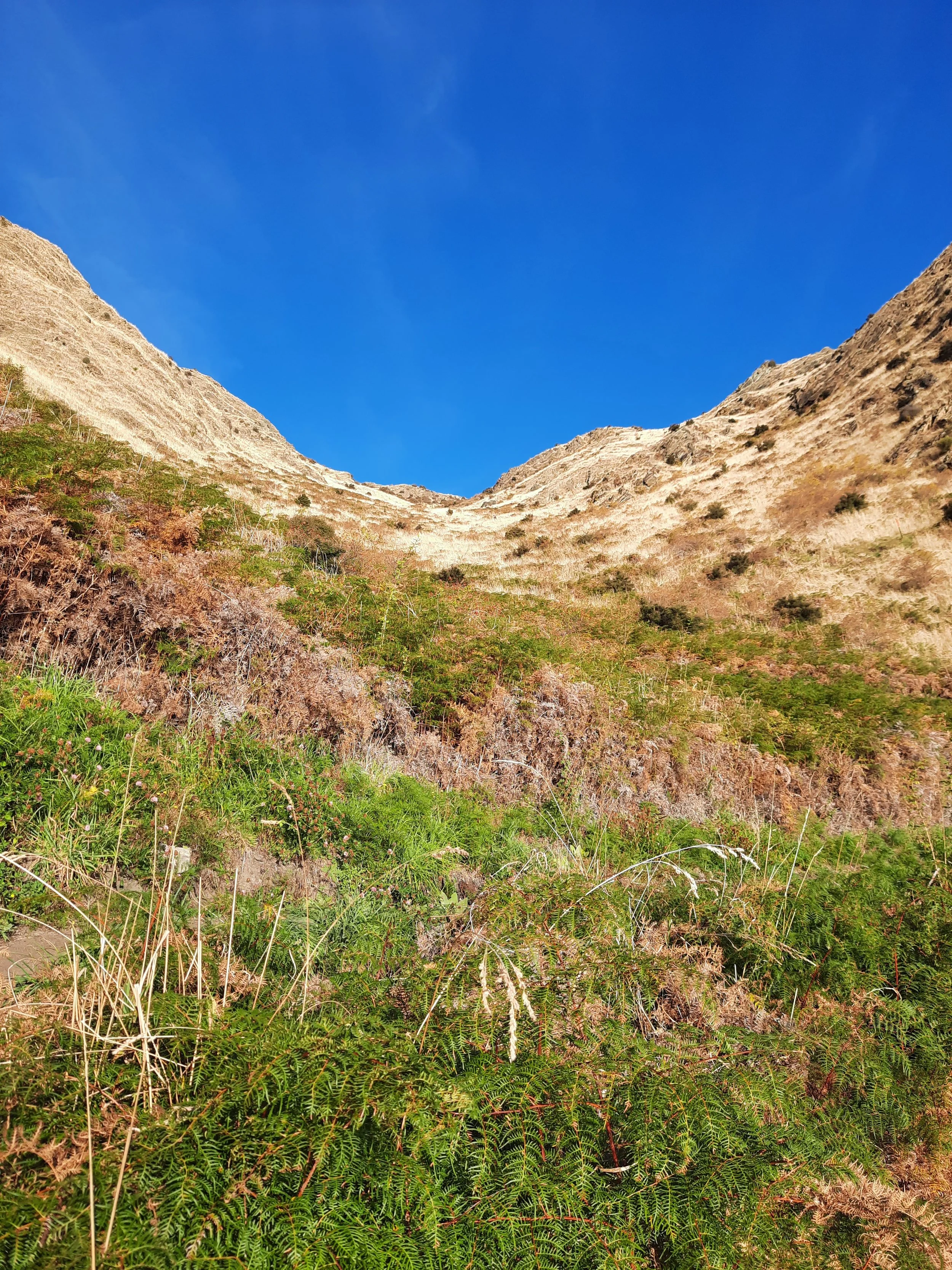
Next, I ascended Breast Hill track (Te Araroa Trail). After crossing a little pasture, there is an ascent via switchbacks that looks worse than it is. Next comes a long, rocky ridge which actually has some difficult, steep sections. I continued past the turnoff north (left) for Breast Hill, over a stile, and past Pakituhi Hut. (You can read about my previous, out-and-back Breast Hill hike here. Each page has some photos from both hikes.)
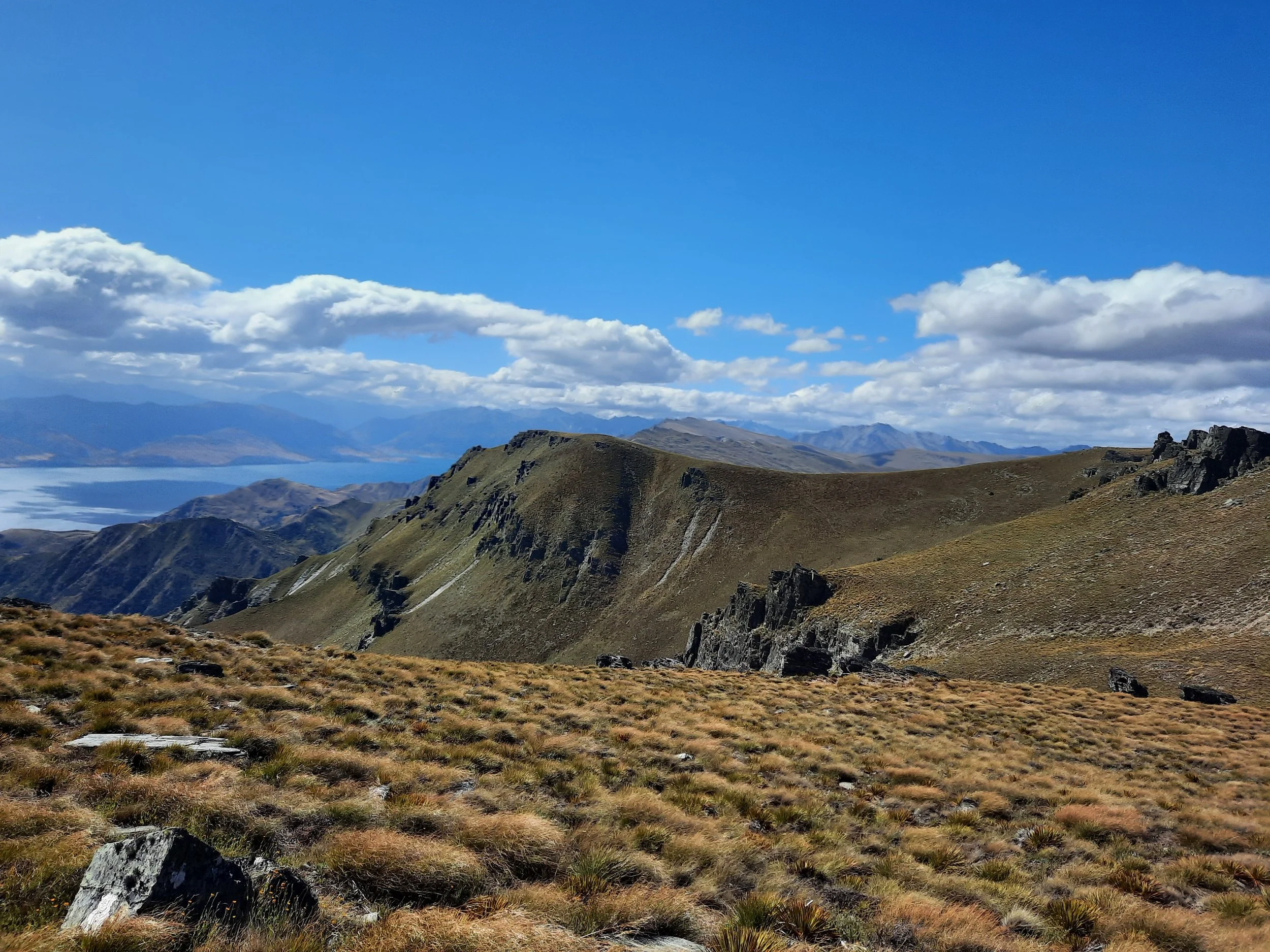
Then, I took a very long, easy, undulating walk south along Grandview Ridge Track. There are various farm tracks that cross this route, and they are clearly marked as forbidden to hikers. Parts of the track are public land, while others are an easement across the hill pasture.
I skipped ascending the obvious high point, only a few minutes off the track at an elevation of 1456m, because I am lazy. (This high point is named Breast Peak, which you shouldn’t confuse with Breast Hill, several km north.) Later, further south, the track went over a point at 1453m.
Finally, I took Grandview Mountain Track down to the parking area, beside Grandview Creek. Make sure not to take this track in either of the other two directions: there is an alternative, more southerly descent west toward Hāwea township, as well as a long portion going east.
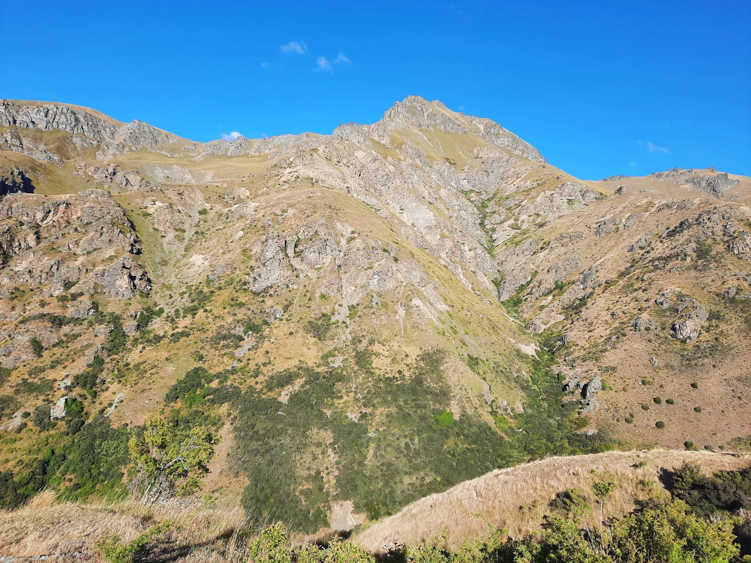
As with the high point at 1456m, I was lazy again, so I didn’t do the easy ascent to Grandview Mountain (1398m). Grandview Mountain Track is mostly an impact track, but it overlaps 4WD farm tracks in a few places. I encountered a few black heifers glowering at me at one point. They had calves with them. Otherwise, I saw no sheep or cows nearby.
If 1 is an easy track, and 4 is using hands and feet on exposed rocks, I give Breast Hill a 3 on the often-steep middle section. The rest of Breast Hill track was a 1 or 2. The large remainder of the hike, and of course the public road, were both a 1.


Hunting
A small portion of the hike is adjacent to a hunting area. This is the upper part of the Breast Hill track. Hunters are forbidden to “discharge firearms near tracks, huts, campsites, road-ends or any other public place.” I have hiked in more than 30 hunting areas, and only passed hunters twice - this wasn’t one of those hikes.
Here is the DOC topomap with all hunting areas visible.
Other pages about this hike
Pages about overlapping hikes
https://www.alltrails.com/trail/new-zealand/otago/breast-hill-via-te-araroa-trail
https://www.alltrails.com/trail/new-zealand/otago/grandview-mountain-track
https://hikingscenery.com/grandview-mountain-track-lake-hawea/
Pages about nearby hikes
This hike seen from Lindis Peak

In the middle distance.