Rob Roy Glacier Track, Wānaka, NZ


Rob Roy Track is a short out-and-back hike 70 minutes by car from Wānaka, Otago, South Island. After a start in pasture and a bridge across Matukituki River West Branch, the track enters Mt Aspiring National Park. Climbing through forest alongside Rob Roy Stream, it finished at a the upper lookout, at an elevation of around 780m beneath the chief attraction, Rob Roy Glacier.
Access
Driving: The access road and Raspberry Flat parking lot are a public easement through Mt Aspiring Station, so there can be cattle in the road and cattle stops to stop them. The road crosses a number of fords which were mostly dry and rocky when I visited on a sunny day in early autumn. Although a 2WD car could probably make it to the parking lot when water levels in the fords are low, rocks might still damage the undercarriage of a car, so AWD/4WD is better.
The terms and conditions of some rental car companies forbid driving on the road, due to its low quality. According to the tourist info center, a tourist who is renting a 2WD car from e.g. Queenstown-Frankton for their whole trip might want to rent an SUV from either of two small Wānaka-based rental agencies for one day, just to do this hike.
Being driven: There seem to be a few Wānaka-based shuttle operators which run tours to and from Raspberry Creek parking lot.


Screenshots of the NZ topographic map are licensed as CC BY 4.0 by Toitū Te Whenua Land Information New Zealand (LINZ).
Time
DOC estimates 3-4 hours round-trip to the upper lookout. They also estimate 30 minutes to get from the lower lookout to the upper lookout (not counting the return).
Including all breaks, it took me around 4 hours round-trip.
Route
AllTrails reports 472m elevation gain over 10.3km round-trip. Almost all of the elevation gain is outbound, on the way to the upper lookout.
The parking lot at Raspberry Flat was fully when I arrived, so I parked by the roadside 50-100m back along the road to Wānaka. There is a toilet at the parking lot. From there, it’s a straightforward walk along a wide 4WD track through pasture until shortly before the bridge across the river.
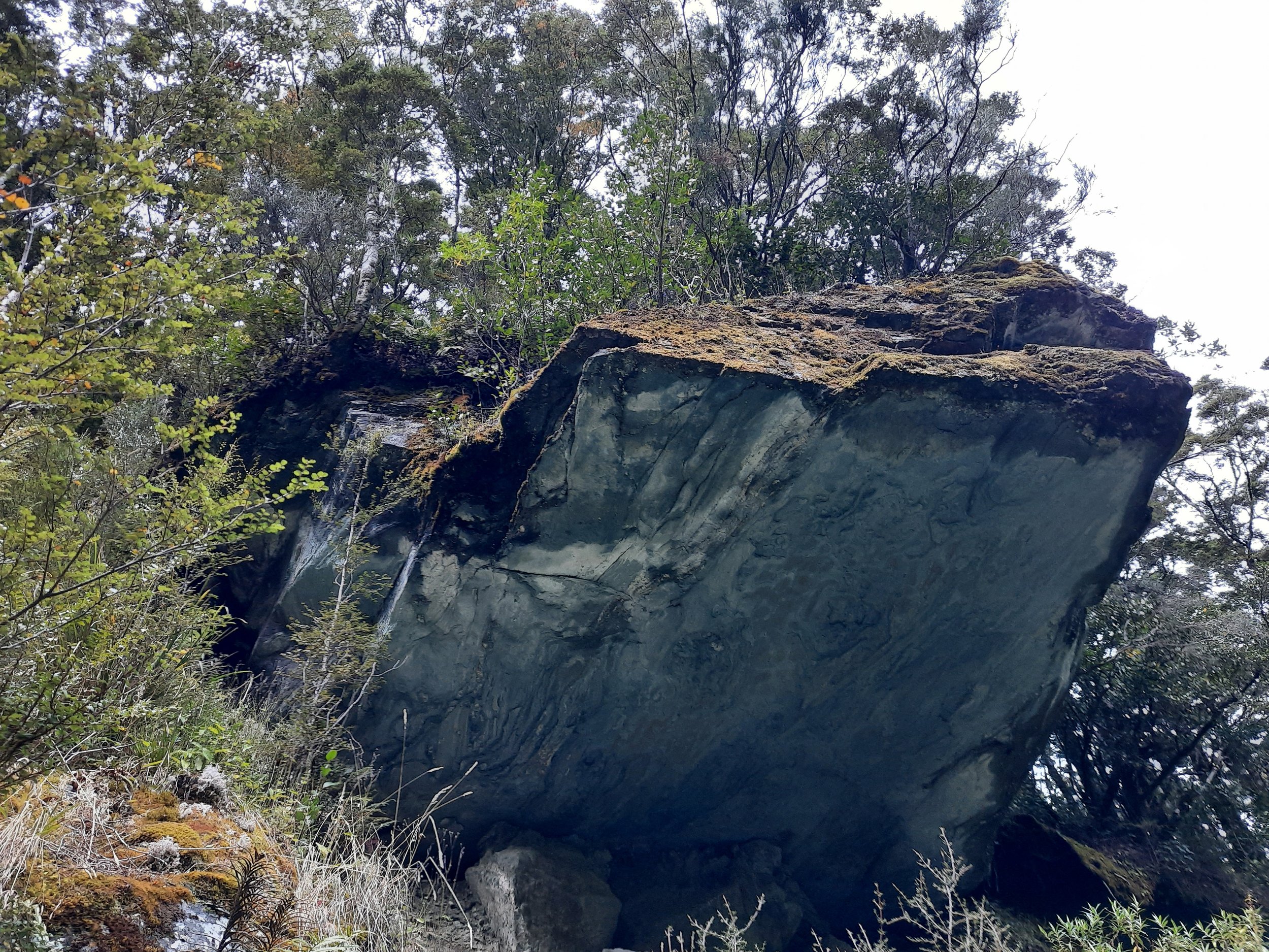
On the other side of the bridge, DOC warns about avalanches, and the forest begins. Most of this part of the route is on a slightly rough dirt and rock track with a gentle slope. Near the beginning there are also wooden stairs. The walk is pleasant, with views through the branches at the stream nearby, and then a view of the glacier at the lower lookout, where there is a bench. (See photo 16 in gallery below.) The only difficult part is stepping across a small field of boulders which may be left from a landslide or flood.
Eventually, the trees give way to tall shrubs, and Rob Roy Glacier can be seen towering above the end of the trail. The upper lookout of the trail has rocks to sit on and space for picnics.
I saw one or two small avalanches from the glacier, but wasn’t quick enough to video them.
If 1 is an easy track, and 4 is using hands and feet on exposed rocks, I give this hike a 3 at worst, in the small boulder field.


Matukituki River West Branch, and the Point 1853-Shotover Saddle-Mt Tyndall ridge beyond it.
Hunting
Starting on the north bank of the Matukituki River (West Branch), i.e. after exiting the pasture and crossing the bridge, the entire route is in a hunting area. Hunters are forbidden to “discharge firearms near tracks, huts, campsites, road-ends or any other public place.” I have hiked in more than 30 hunting areas, and only passed hunters three times - this wasn’t one of those hikes.
Here is the DOC topomap with all hunting areas visible.
Other pages about this hike
Local context
Nearby hikes in the Matukituki Valleys
https://www.theoutbound.com/new-zealand/backpacking/climb-the-buchanan-peaks-above-lake-wanaka
https://neilsloan.smugmug.com/New-Zealand-/Wanaka-Hawea-/Fog-Peak-Niger-Peak/i-WTqV4zs
https://leeburty.com/leeburty/2014/10/25/fog-peak-mount-aspiring-national-park-weekend-fun
Nearby hikes south of the Matukituki Valleys
https://www.theoutbound.com/new-zealand/hiking/hike-to-the-summit-of-treble-cone (but not quite to the summit)
Rob Roy Glacier seen from Black Peak

The largest white patch, just left of center, appear to be Rob Roy Glacier. This hike is below it, blocked from view.
The prominent, pointy dark peak in front of the lower left part of the glacier might be Shark’s Tooth. A hike from Raspberry Flat parking lot could reach its summit, according to a post I read.