108 different day-hikes that I took in NZ, mostly South Island. Several posts about NZ logistics and hikes/travel elsewhere.
Mt Shrimpton, Makarora, NZ
Very long hike in Makarora, 55 minutes from Wānaka.

Rob Roy Glacier Track, Wānaka, NZ
Short hike 70 minutes from Wānaka.

Mt Ida via Tourist Spur, Naseby, NZ
Long hike, 15 minutes from Naseby & 20 from Ranfurly.

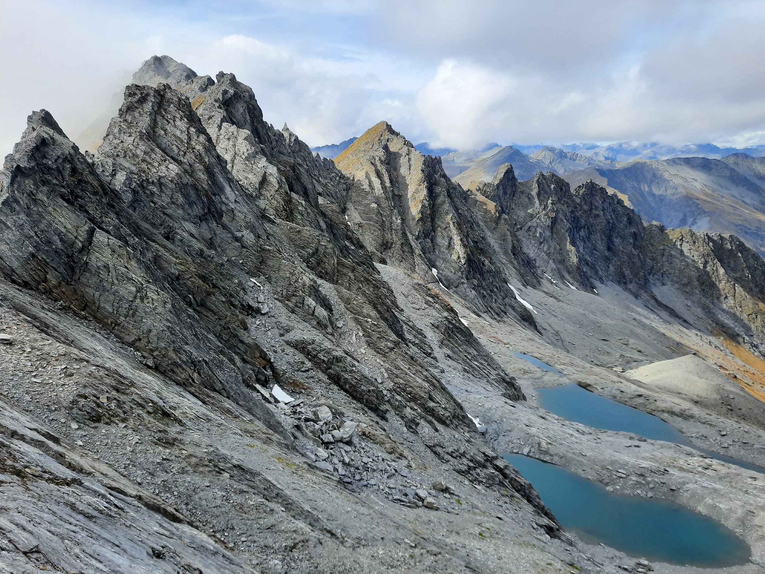
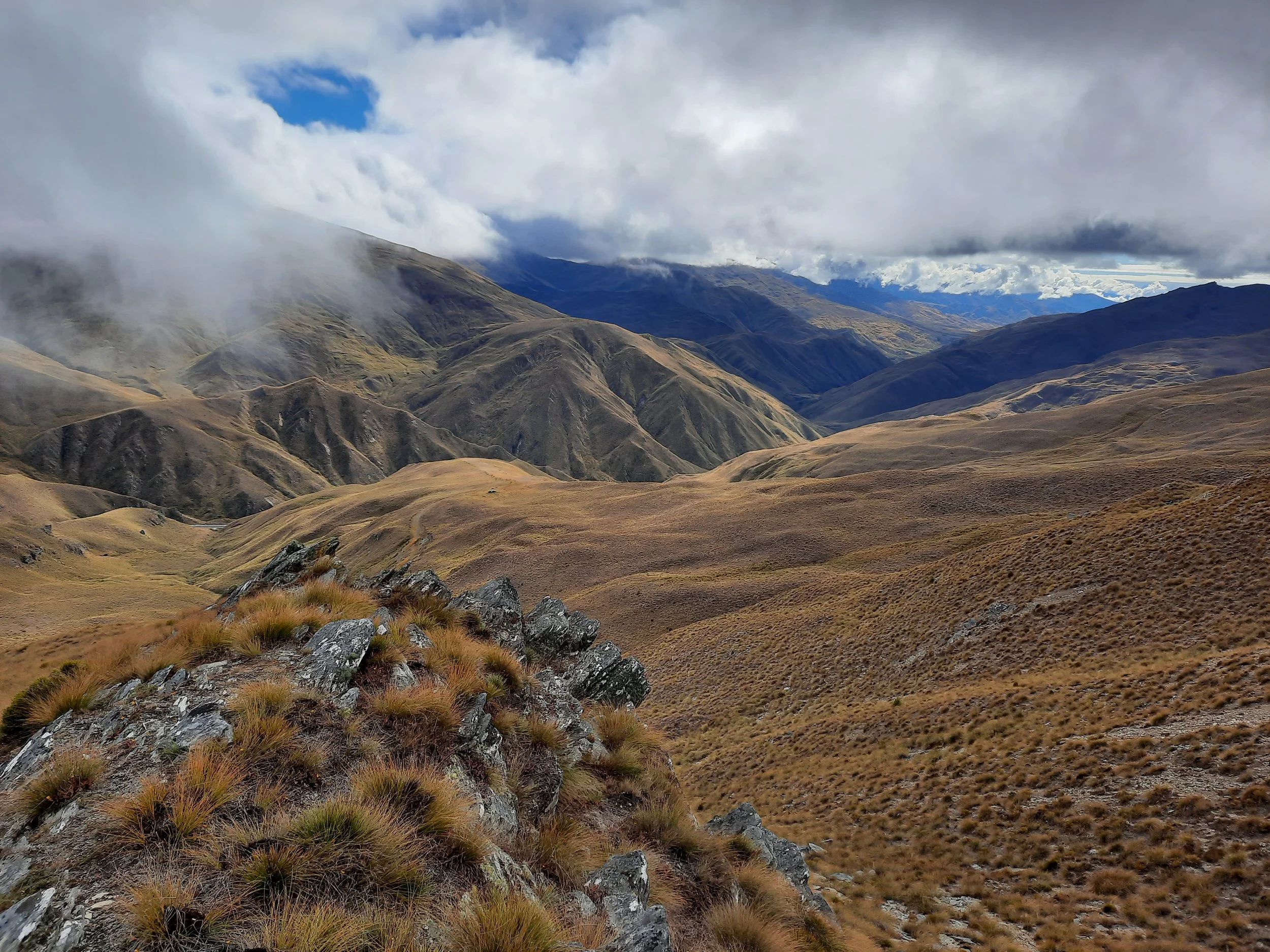
Grandview Ridge Circuit, Lake Hāwea, NZ
Very long circuit from Nook Rd, 8 minutes from Hāwea township. (Or from Breast Hill trailhead.)

Lindis Peak, Tarras, NZ
Medium-length hike. 12 minutes from Tarras, 35 from Cromwell, 40 from Wānaka.

Bannockburn Sluicings, Cromwell, NZ
Short hike, 7 minutes from Cromwell.

Bendigo Lookout via Mt Koinga Track, Tarras, NZ
Short hike, 15 minutes from Tarras and Cromwell.

Black Peak via Treble Cone, Wānaka, NZ
Very long hike from Treble Cone ski field. 40 minutes from Wānaka. Access code required.
Double Peak, Lindis Pass, NZ
Short hike at the boundary of Otago and the Mackenzie Basin (Canterbury). 25 minutes from Ōmarama.
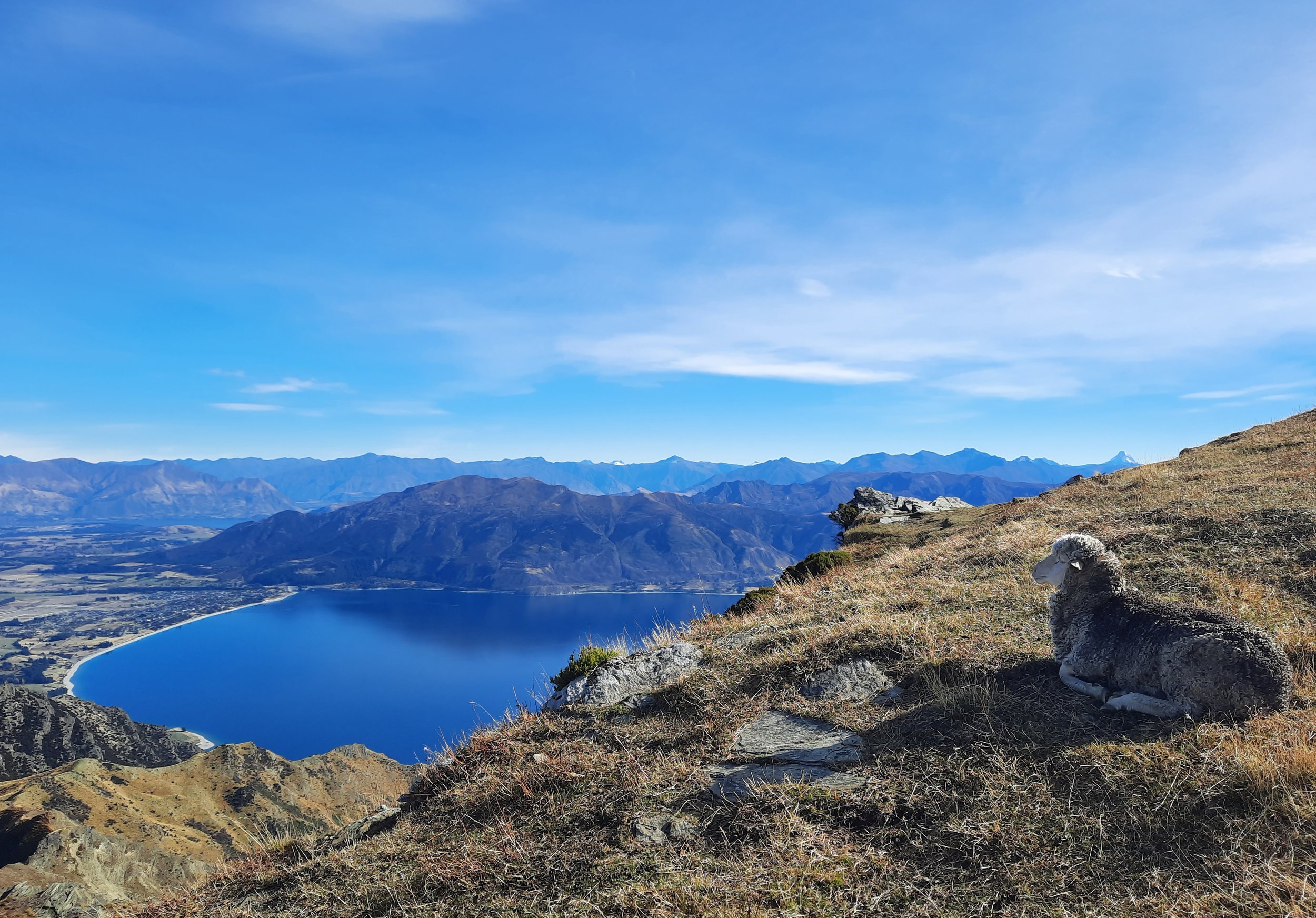
Breast Hill, Lake Hāwea, NZ
Long hike on the east shore of Lake Hāwea. 10 minutes from Hāwea township.

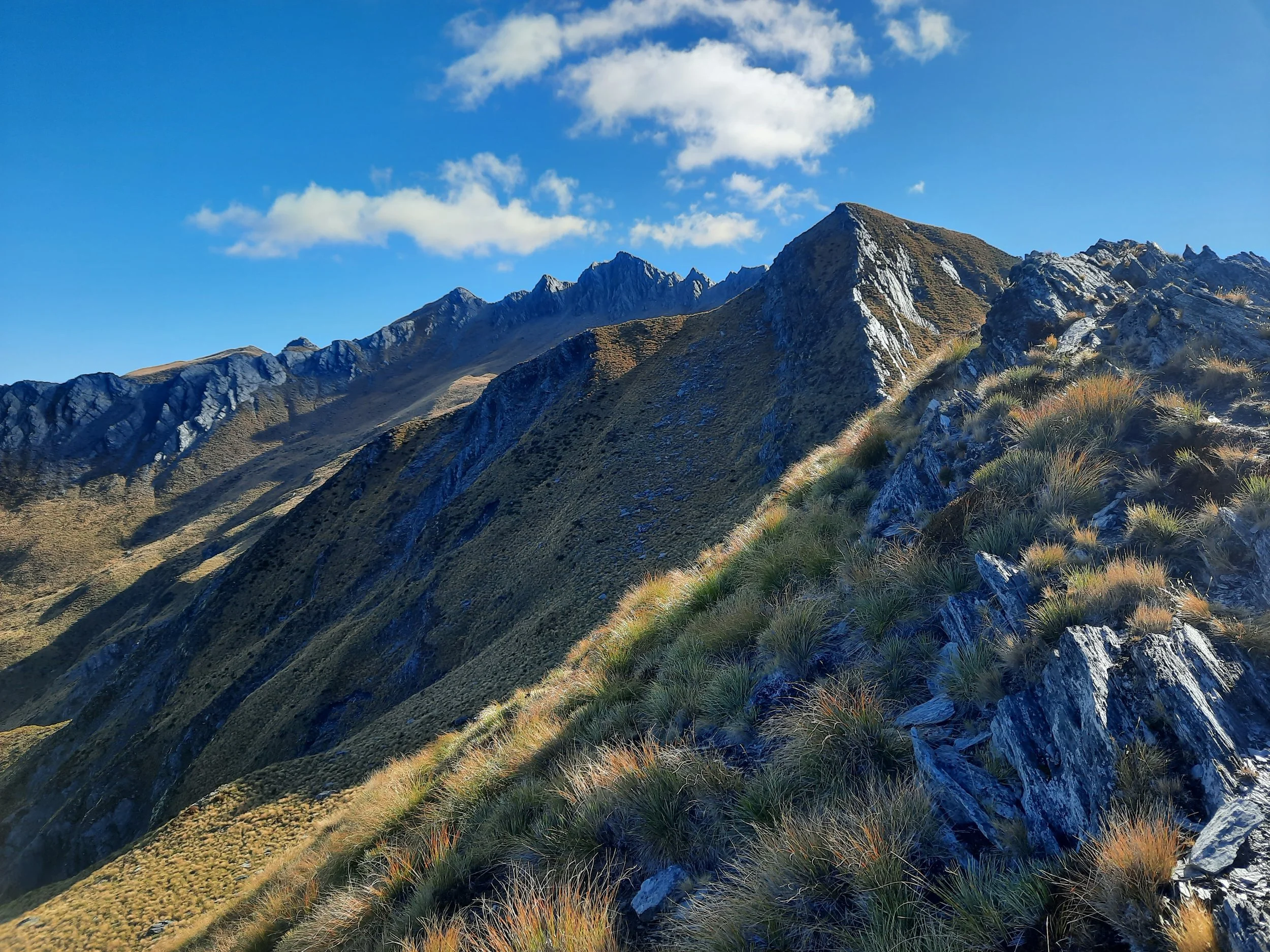
Corner Peak, Lake Hāwea, NZ
Very long hike on the east shore of Lake Hāwea. 20 minutes from Hāwea township.
Sentinel Peak, Lake Hāwea, NZ
Very long hike on the north shore of Lake Hāwea. 30 minutes from Hāwea township.
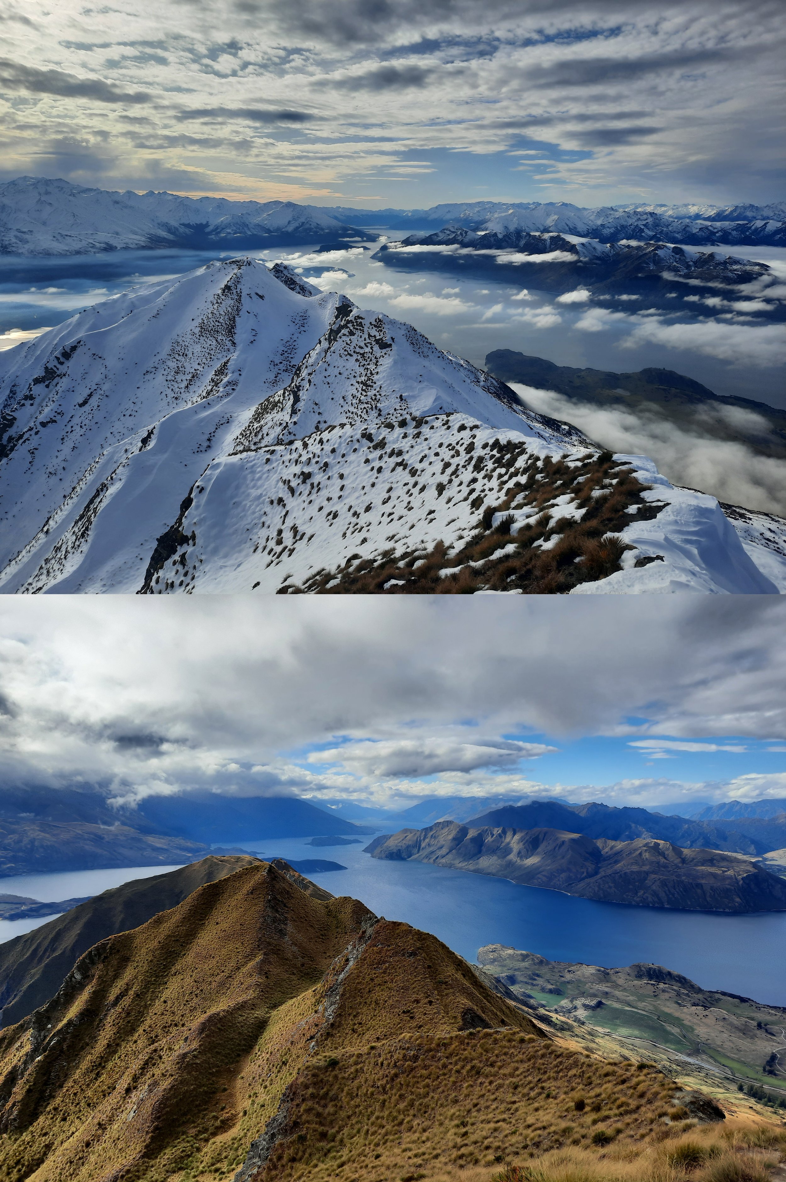
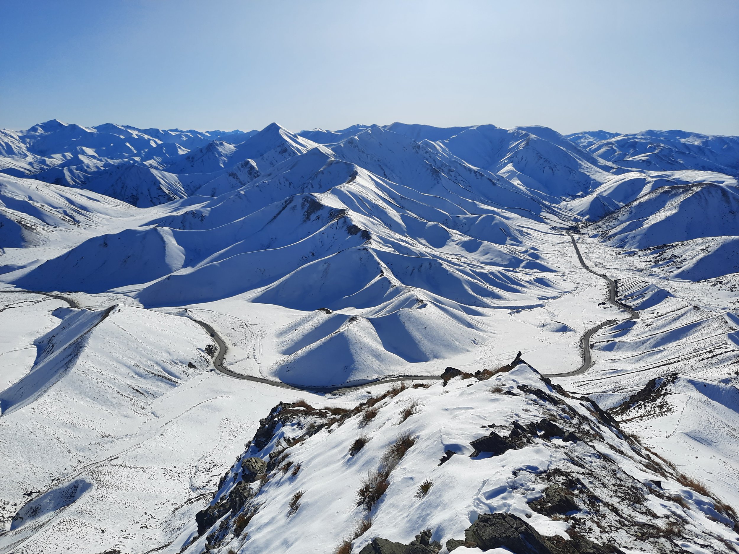
Roy’s Peak, Wānaka, NZ: Summer vs Winter
Hiking to Roy’s Peak without snow, and to the famous lookout point in snow. A long hike 10 minutes from Wānaka.

Isthmus Peak, Lake Hāwea, NZ
Long hike on isthmus between Lakes Wānaka & Hāwea. 20 minutes from Hāwea township.

Rocky Mountain, Wānaka, NZ
Short hike 20 minutes from Wānaka. Passes by Diamond Lake.
Rock Peak, Arrowtown, NZ
Short hike in Pisa Conservation Area, 20 minutes from Arrowtown.
Moonlight Track, Queenstown, NZ
Long hike from Arthur’s Point to Ben Lomond Saddle, via less-used route. 10 minutes from Queenstown.

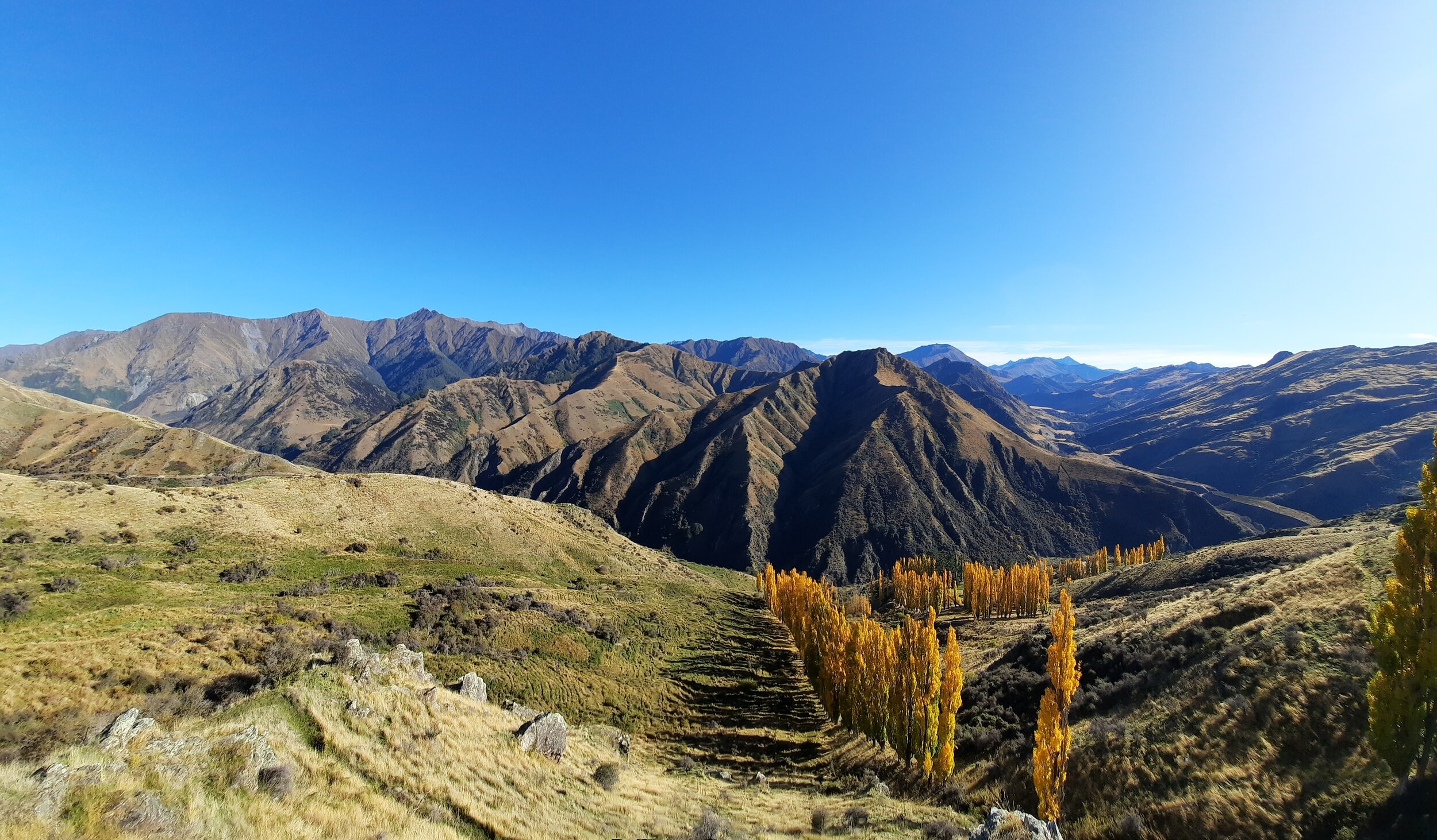
Crown Peak, Arrowtown, NZ
Long hike, accessible on foot from Arrowtown.

Brow Peak, Arrowtown, NZ
Medium-length hike, accessible on foot from Arrowtown.

Jack’s Point vs Kelvin Peninsula, Queenstown, NZ
Comparing short hikes/walks at either end of the longer Jack’s Point Track. Near Queenstown.